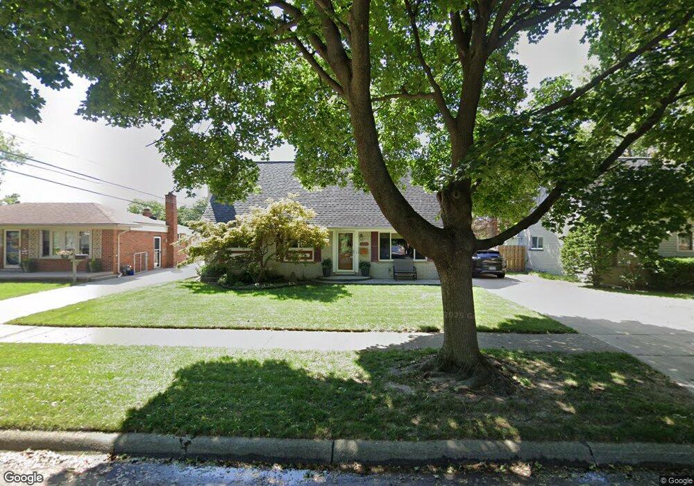
13032 Walter Ave Warren, MI 48088
Northeast Warren NeighborhoodEstimated Value: $254,000 - $268,000
3
Beds
2
Baths
1,444
Sq Ft
$182/Sq Ft
Est. Value
About This Home
This home is located at 13032 Walter Ave, Warren, MI 48088 and is currently estimated at $262,405, approximately $181 per square foot. 13032 Walter Ave is a home located in Macomb County with nearby schools including Warren Woods Tower High School, Frontier International Academy Elementary, and Warren Woods Christian School.
Ownership History
Date
Name
Owned For
Owner Type
Purchase Details
Closed on
Mar 30, 2017
Sold by
Buchholz Paul M and Buchholz Ivy D
Bought by
Buchholz Paul M and Buchholz Ivy D
Current Estimated Value
Purchase Details
Closed on
Sep 19, 2007
Sold by
Estate Of Thelma R Hannah
Bought by
Buchholz Paul and Kraeyveld Ivy
Home Financials for this Owner
Home Financials are based on the most recent Mortgage that was taken out on this home.
Original Mortgage
$132,949
Outstanding Balance
$83,828
Interest Rate
6.49%
Mortgage Type
FHA
Estimated Equity
$178,577
Create a Home Valuation Report for This Property
The Home Valuation Report is an in-depth analysis detailing your home's value as well as a comparison with similar homes in the area
Home Values in the Area
Average Home Value in this Area
Purchase History
| Date | Buyer | Sale Price | Title Company |
|---|---|---|---|
| Buchholz Paul M | -- | None Available | |
| Buchholz Paul | $134,000 | Title Source Inc |
Source: Public Records
Mortgage History
| Date | Status | Borrower | Loan Amount |
|---|---|---|---|
| Open | Buchholz Paul | $132,949 |
Source: Public Records
Tax History Compared to Growth
Tax History
| Year | Tax Paid | Tax Assessment Tax Assessment Total Assessment is a certain percentage of the fair market value that is determined by local assessors to be the total taxable value of land and additions on the property. | Land | Improvement |
|---|---|---|---|---|
| 2025 | $3,300 | $113,990 | $0 | $0 |
| 2024 | $3,206 | $113,320 | $0 | $0 |
| 2023 | $3,029 | $94,090 | $0 | $0 |
| 2022 | $2,970 | $81,880 | $0 | $0 |
| 2021 | $2,914 | $78,010 | $0 | $0 |
| 2020 | $2,793 | $71,020 | $0 | $0 |
| 2019 | $2,668 | $69,550 | $0 | $0 |
| 2018 | $2,695 | $59,720 | $0 | $0 |
| 2017 | $2,549 | $59,550 | $10,700 | $48,850 |
| 2016 | $2,529 | $59,550 | $0 | $0 |
| 2015 | -- | $49,610 | $0 | $0 |
| 2013 | $7,330 | $47,820 | $0 | $0 |
Source: Public Records
Map
Nearby Homes
- 29667 Newport Dr
- 29365 Dover Ave
- 29379 Newport Dr
- 29820 Palomino Dr
- 30252 Newport Dr
- 13325 Iowa Dr
- 30040 Schoenherr Rd
- 30419 Iroquois Dr
- 30052 Schoenherr Rd
- 13265 Geoffry Dr
- 30154 Pinto Dr
- 29266 Moulin Ave
- 13264 Geoffry Dr
- 29723 Roan Dr
- 29161 Schoenherr Rd
- 13740 Iowa Dr
- 30806 Ridgefield Ave
- 29366 Wagner Dr
- 29359 Yorkshire Ln
- 30834 Iroquois Dr
- 13044 Walter Ave
- 13020 Walter Ave
- 29676 Fairfield Dr
- 13056 Walter Ave
- 29673 Dover Ave
- 29664 Fairfield Dr
- 29661 Dover Ave
- 29807 Dover Ave
- 13039 Walter Ave
- 12954 Walter Ave
- 13027 Walter Ave
- 29652 Fairfield Dr
- 13015 Walter Ave
- 29649 Dover Ave
- 29675 Fairfield Dr
- 29819 Dover Ave
- 13110 Walter Ave
- 29640 Fairfield Dr
- 12932 Walter Ave
- 29663 Fairfield Dr