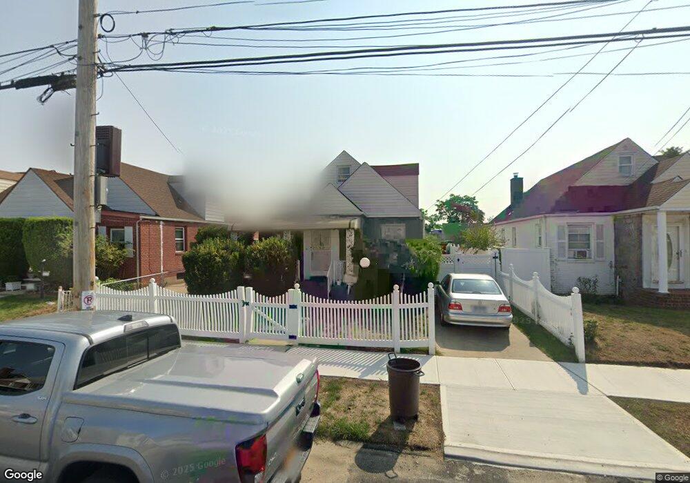
13033 221st St Springfield Gardens, NY 11413
Laurelton NeighborhoodEstimated Value: $664,369 - $748,000
--
Bed
--
Bath
1,104
Sq Ft
$645/Sq Ft
Est. Value
About This Home
This home is located at 13033 221st St, Springfield Gardens, NY 11413 and is currently estimated at $711,592, approximately $644 per square foot. 13033 221st St is a home located in Queens County with nearby schools including P.S. 132 - Ralph Bunche, Is 59 Springfield Gardens, and Merrick Academy Charter School.
Ownership History
Date
Name
Owned For
Owner Type
Purchase Details
Closed on
Mar 11, 2005
Sold by
Haynes Janice
Bought by
Medley Maurice
Current Estimated Value
Home Financials for this Owner
Home Financials are based on the most recent Mortgage that was taken out on this home.
Original Mortgage
$268,000
Outstanding Balance
$135,419
Interest Rate
5.56%
Mortgage Type
Purchase Money Mortgage
Estimated Equity
$576,173
Create a Home Valuation Report for This Property
The Home Valuation Report is an in-depth analysis detailing your home's value as well as a comparison with similar homes in the area
Home Values in the Area
Average Home Value in this Area
Purchase History
| Date | Buyer | Sale Price | Title Company |
|---|---|---|---|
| Medley Maurice | $335,000 | -- |
Source: Public Records
Mortgage History
| Date | Status | Borrower | Loan Amount |
|---|---|---|---|
| Open | Medley Maurice | $268,000 |
Source: Public Records
Tax History Compared to Growth
Tax History
| Year | Tax Paid | Tax Assessment Tax Assessment Total Assessment is a certain percentage of the fair market value that is determined by local assessors to be the total taxable value of land and additions on the property. | Land | Improvement |
|---|---|---|---|---|
| 2025 | $5,987 | $31,596 | $8,466 | $23,130 |
| 2024 | $5,987 | $29,808 | $9,282 | $20,526 |
| 2023 | $5,812 | $28,939 | $8,745 | $20,194 |
| 2022 | $5,450 | $36,900 | $11,640 | $25,260 |
| 2021 | $5,746 | $30,600 | $11,640 | $18,960 |
| 2020 | $5,573 | $32,760 | $11,640 | $21,120 |
| 2019 | $5,196 | $32,520 | $11,640 | $20,880 |
| 2018 | $4,916 | $24,116 | $9,808 | $14,308 |
| 2017 | $4,638 | $22,752 | $11,203 | $11,549 |
| 2016 | $4,548 | $22,752 | $11,203 | $11,549 |
| 2015 | $2,589 | $21,942 | $12,278 | $9,664 |
| 2014 | $2,589 | $20,700 | $12,960 | $7,740 |
Source: Public Records
Map
Nearby Homes
- 130-55 222nd St
- 130-45 220th St
- 22014 130th Ave
- 22014 130th Ave
- 21924 130th Dr
- 22310 131st Ave
- 130-43 224th St
- 131-20 224th St
- 13062 225th St
- 131-35 222nd St
- 21827 130th Ave
- 21917 132nd Rd
- 131-18 226th St
- 13049 217th St
- 130-25 217th St
- 21931 133rd Ave
- 131-41 226th St Unit 60
- 13069 227th St
- 133-15 220th St
- 13001 228th St
- 13037 221st St
- 13029 221st St
- 13025 221st St
- 13041 221st St
- 130-25 221st St
- 13036 222nd St
- 13040 222nd St
- 13032 222nd St
- 13021 221st St
- 13045 221st St
- 130-28 222nd St
- 13044 222nd St
- 13028 222nd St
- 13032 221st St
- 130-49 221st St
- 13048 222nd St
- 130-36 221st St
- 130-24 222nd St
- 13024 222nd St
- 13032 221st St