13036 Covell Rd Morrison, IL 61270
Estimated Value: $244,000 - $450,547
4
Beds
3
Baths
1,545
Sq Ft
$225/Sq Ft
Est. Value
About This Home
This home is located at 13036 Covell Rd, Morrison, IL 61270 and is currently estimated at $347,274, approximately $224 per square foot. 13036 Covell Rd is a home located in Whiteside County with nearby schools including Northside School, Southside School, and Morrison Junior High School.
Ownership History
Date
Name
Owned For
Owner Type
Purchase Details
Closed on
Jun 24, 2009
Sold by
Smith Robert E and Smith Francine N
Bought by
Luckey John H and Luckey Erin
Current Estimated Value
Home Financials for this Owner
Home Financials are based on the most recent Mortgage that was taken out on this home.
Original Mortgage
$293,312
Interest Rate
4.92%
Mortgage Type
New Conventional
Create a Home Valuation Report for This Property
The Home Valuation Report is an in-depth analysis detailing your home's value as well as a comparison with similar homes in the area
Home Values in the Area
Average Home Value in this Area
Purchase History
| Date | Buyer | Sale Price | Title Company |
|---|---|---|---|
| Luckey John H | $309,000 | None Available |
Source: Public Records
Mortgage History
| Date | Status | Borrower | Loan Amount |
|---|---|---|---|
| Closed | Luckey John H | $293,312 |
Source: Public Records
Tax History Compared to Growth
Tax History
| Year | Tax Paid | Tax Assessment Tax Assessment Total Assessment is a certain percentage of the fair market value that is determined by local assessors to be the total taxable value of land and additions on the property. | Land | Improvement |
|---|---|---|---|---|
| 2024 | $3,928 | $59,989 | $5,731 | $54,258 |
| 2023 | $4,228 | $62,787 | $4,685 | $58,102 |
| 2022 | $4,124 | $60,412 | $4,335 | $56,077 |
| 2021 | $4,011 | $58,599 | $4,049 | $54,550 |
| 2020 | $3,953 | $56,979 | $3,789 | $53,190 |
| 2019 | $4,064 | $57,387 | $3,715 | $53,672 |
| 2018 | $4,172 | $56,462 | $3,538 | $52,924 |
| 2017 | $4,537 | $62,088 | $3,938 | $58,150 |
| 2016 | $4,422 | $60,541 | $3,745 | $56,796 |
| 2015 | $51 | $66,462 | $3,386 | $63,076 |
| 2014 | $4,867 | $64,047 | $3,273 | $60,774 |
| 2013 | $51 | $66,462 | $3,386 | $63,076 |
Source: Public Records
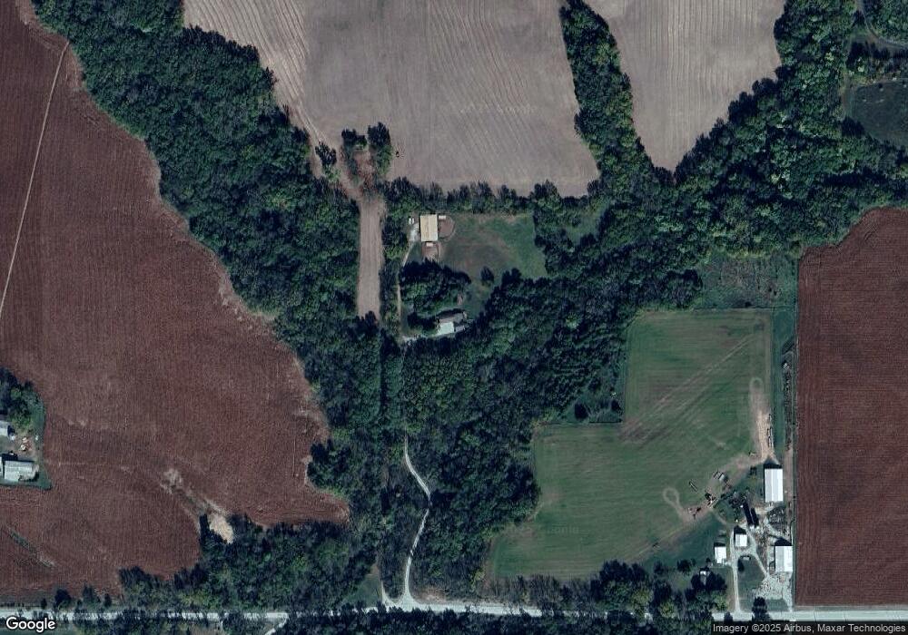
Map
Nearby Homes
- 0 Crosby Rd Unit 24279391
- 0 Crosby Rd Unit MRD12414204
- 0000 Adolph Rd
- 0 Spring Valley Rd Unit 24279635
- 12851 Argo Fay Route
- 0 Capp Rd
- 18013 Spring Valley Rd
- 0 Malvern Rd Unit 25282276
- 0 Malvern Rd Unit Lot WP001 22474945
- 0 Malvern Rd Unit MRD12269294
- 0 Malvern Rd Unit 202500349
- 2000 Illinois Route 84
- 2104 Illinois Route 84
- 14094 Three Mile Road Lot A
- 9896 Lincoln Rd
- 1002 Locust St
- 5270 Il Route 78
- 113 Taylor Ln
- 18250 Malvern Rd
- 15344 Norrish Rd