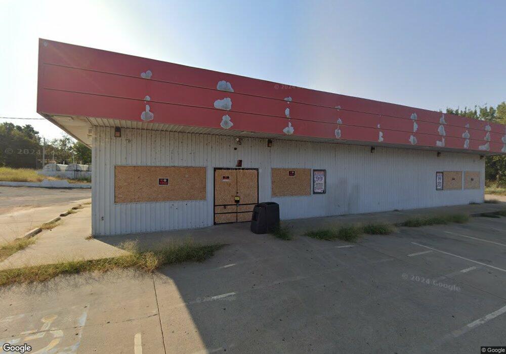
13037 W 834 Rd Tahlequah, OK 74464
Estimated Value: $1,833,956
--
Bed
--
Bath
3,452
Sq Ft
$531/Sq Ft
Est. Value
About This Home
This home is located at 13037 W 834 Rd, Tahlequah, OK 74464 and is currently estimated at $1,833,956, approximately $531 per square foot. 13037 W 834 Rd is a home located in Cherokee County.
Ownership History
Date
Name
Owned For
Owner Type
Purchase Details
Closed on
Aug 29, 2022
Sold by
Shahida Zulfiqar Holding Llc
Bought by
Moes Mart Llc
Current Estimated Value
Purchase Details
Closed on
Aug 15, 2022
Sold by
Mountain Express Oil Company
Bought by
Mountain Portfolio Owner Arokms Llc
Purchase Details
Closed on
Aug 3, 2022
Sold by
Moes Mart Llc
Bought by
Mountain Express Oil Company
Purchase Details
Closed on
Sep 21, 2021
Sold by
Ahmad and Shahida
Bought by
Shahida Zulfiqar Holding Llc
Purchase Details
Closed on
Aug 14, 2001
Sold by
Vernon and Barbara Gibson
Bought by
B & Y Corp, An Okla Corp
Create a Home Valuation Report for This Property
The Home Valuation Report is an in-depth analysis detailing your home's value as well as a comparison with similar homes in the area
Home Values in the Area
Average Home Value in this Area
Purchase History
| Date | Buyer | Sale Price | Title Company |
|---|---|---|---|
| Moes Mart Llc | $800,000 | -- | |
| Mountain Portfolio Owner Arokms Llc | -- | -- | |
| Mountain Express Oil Company | $800,000 | -- | |
| Shahida Zulfiqar Holding Llc | -- | None Listed On Document | |
| Shahida Zulfiqar Holding Llc | -- | None Listed On Document | |
| B & Y Corp, An Okla Corp | $687,500 | -- |
Source: Public Records
Mortgage History
| Date | Status | Borrower | Loan Amount |
|---|---|---|---|
| Closed | Shahida Zulfiqar Holding Llc | $0 |
Source: Public Records
Tax History Compared to Growth
Tax History
| Year | Tax Paid | Tax Assessment Tax Assessment Total Assessment is a certain percentage of the fair market value that is determined by local assessors to be the total taxable value of land and additions on the property. | Land | Improvement |
|---|---|---|---|---|
| 2024 | $2,920 | $36,730 | $5,742 | $30,988 |
| 2023 | $2,920 | $36,730 | $5,742 | $30,988 |
| 2022 | $2,976 | $36,730 | $5,742 | $30,988 |
| 2021 | $2,993 | $36,730 | $5,742 | $30,988 |
| 2020 | $3,125 | $37,537 | $5,742 | $31,795 |
| 2019 | $3,062 | $36,995 | $5,742 | $31,253 |
| 2018 | $2,953 | $35,233 | $5,742 | $29,491 |
| 2017 | $2,843 | $33,556 | $5,742 | $27,814 |
| 2016 | $2,830 | $33,495 | $5,742 | $27,753 |
| 2015 | $2,658 | $31,900 | $5,742 | $26,158 |
| 2014 | $2,658 | $31,900 | $5,742 | $26,158 |
Source: Public Records
Map
Nearby Homes
- 0 Hwy 62 Hwy Unit 2532141
- 0 Hwy 62 Hwy Unit 2532145
- 0 Hwy 62 Hwy Unit 2532149
- 0 Hwy 62 Hwy Unit 2532139
- 0 Hwy 62 Hwy Unit 2517481
- 12219 U S 62
- 0 805 Rd
- 14650 W 835 Rd
- 11396 W Joyce Ln
- 24481 S Manard Rd
- 27254 S 490 Rd
- 13380 W Clyde Maher Rd
- 14784 W 806 Rd
- 152 Reid Rd
- 160 W 850 Rd
- 15425 W Hickory Nut Ridge
- 175 Reid Rd
- 0 S 490 Rd
- 14965 W Clyde Maher Rd
- 1904 N County Line Rd E
- 25493 S Woodall Dr
- 12955 Highway 62
- 12979 Highway 62
- 25519 S 460 Rd
- 25487 S Woodall Dr
- 25527 S 460 Rd
- 25481 S Woodall Dr
- 25488 S Woodall Dr
- 25492 S Woodall Dr
- 12949 Highway 62
- 25475 S Woodall Dr
- 25482 S Woodall Dr
- 25607 S 460 Rd
- 25476 S Woodall Dr
- 25441 S Woodall Dr
- 0 Hwy 62 Hwy Unit 2443573
- 0 Hwy 62 Hwy Unit 2443577
- 0 Hwy 62 Hwy Unit 2443579
- 0 Hwy 62 Hwy Unit 2443583
- 0 Hwy 62 Hwy Unit 2443586