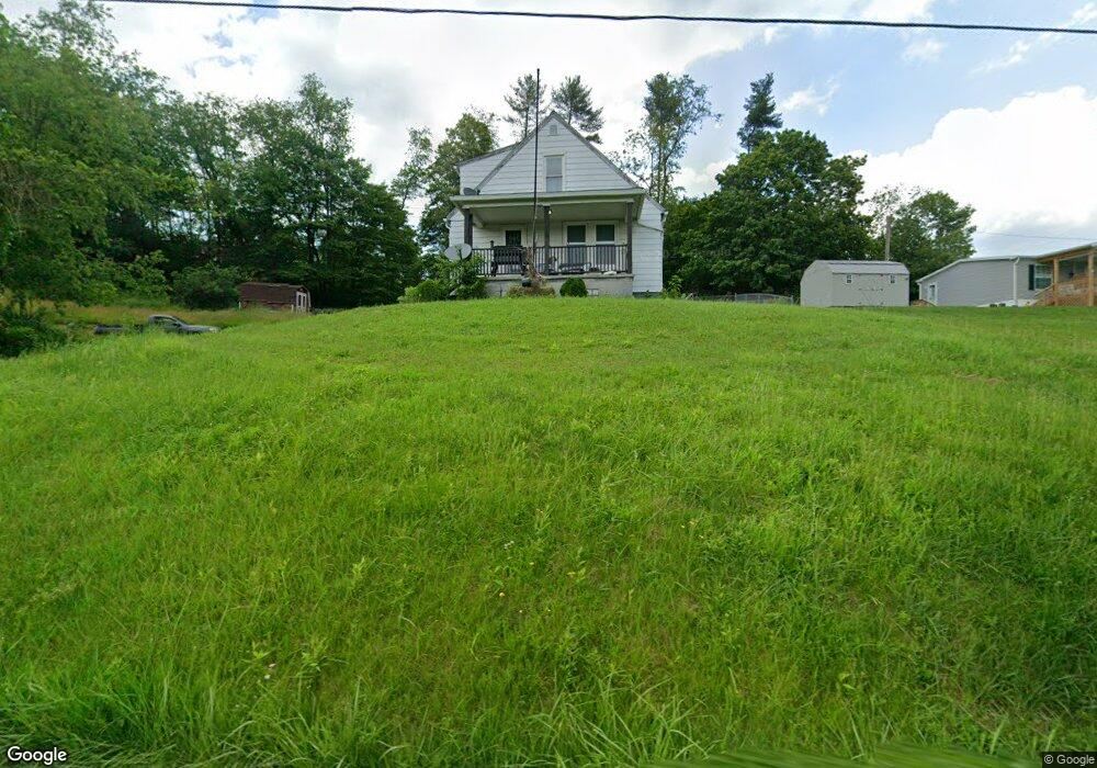
1304 Airport Rd Vandergrift, PA 15690
Parks Township NeighborhoodEstimated Value: $142,661 - $160,000
2
Beds
1
Bath
1,092
Sq Ft
$137/Sq Ft
Est. Value
About This Home
This home is located at 1304 Airport Rd, Vandergrift, PA 15690 and is currently estimated at $149,665, approximately $137 per square foot. 1304 Airport Rd is a home with nearby schools including Kiski Area High School.
Ownership History
Date
Name
Owned For
Owner Type
Purchase Details
Closed on
Jan 3, 2017
Sold by
Young Bruce A and Young Ellen M
Bought by
Knell Steven P and Knell Amanda S
Current Estimated Value
Purchase Details
Closed on
Dec 31, 2014
Sold by
Young Bruce A
Bought by
Young Bruce A
Purchase Details
Closed on
Jan 27, 1998
Bought by
Hughes Robert D and Hughes Maria J
Create a Home Valuation Report for This Property
The Home Valuation Report is an in-depth analysis detailing your home's value as well as a comparison with similar homes in the area
Home Values in the Area
Average Home Value in this Area
Purchase History
| Date | Buyer | Sale Price | Title Company |
|---|---|---|---|
| Knell Steven P | $52,500 | None Available | |
| Young Bruce A | -- | None Available | |
| Hughes Robert D | $35,000 | -- |
Source: Public Records
Tax History Compared to Growth
Tax History
| Year | Tax Paid | Tax Assessment Tax Assessment Total Assessment is a certain percentage of the fair market value that is determined by local assessors to be the total taxable value of land and additions on the property. | Land | Improvement |
|---|---|---|---|---|
| 2025 | $1,980 | $26,590 | $17,290 | $9,300 |
| 2024 | $1,829 | $26,590 | $17,290 | $9,300 |
| 2023 | $1,763 | $26,590 | $17,290 | $9,300 |
| 2022 | $1,763 | $26,590 | $17,290 | $9,300 |
| 2021 | $1,761 | $26,590 | $17,290 | $9,300 |
| 2020 | $1,783 | $26,590 | $17,290 | $9,300 |
| 2019 | $1,782 | $26,590 | $17,290 | $9,300 |
| 2018 | $1,747 | $24,695 | $11,410 | $13,285 |
| 2017 | $1,707 | $26,590 | $17,290 | $9,300 |
| 2016 | $1,658 | $26,590 | $17,290 | $9,300 |
| 2015 | $1,593 | $26,590 | $17,290 | $9,300 |
| 2014 | $1,593 | $26,590 | $17,290 | $9,300 |
Source: Public Records
Map
Nearby Homes
- 214 and 214 1/2 Whittier St
- 1212 Gravel Bar Rd
- 1252 Jefferson St
- 1116 Grant St
- 133 Sherman Ave
- 137 Sherman Ave
- 112 Farragut Ave Unit 3
- 411 Center St
- 247 Sherman Ave
- 369 Chestnut St
- 365 Chestnut St
- 405 5th Ave
- 121 Hamilton Ave
- 129 Franklin Ave
- 109 Washington Ave
- 154 Jefferson Ave Unit 6
- 219 Quay St
- 225 Mckinley Ave
- 221 Railroad St
- 597 Market St
- 196 Clarks Hollow Rd
- 1294 Airport Rd
- 1280 Airport Rd
- 1281 Airport Rd
- 232 Lower Allegheny Dr
- 560 Lower Johnetta Rd
- 1111 Frosty Hollow Ln
- 1258 Airport Rd
- 1267 Airport Rd
- 1338 Airport Rd
- R.R. #1 Airport Rd
- 1259 Airport Rd
- 1130 Coulter Ln
- 1348 Airport Rd
- 1244 Airport Rd
- 1340 Airport Rd
- 1229 Airport Rd
- 538-538 1/2 Walnut St
- 3370-3371 Garvers Ferry Rd
- 1527 Kepple Ave