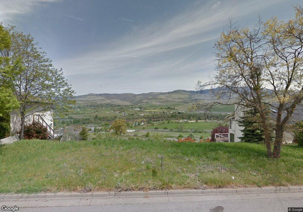
1304 Ashland Mine Rd Ashland, OR 97520
North Ashland NeighborhoodEstimated Value: $172,000 - $190,000
--
Bed
--
Bath
--
Sq Ft
9,148
Sq Ft Lot
About This Home
This home is located at 1304 Ashland Mine Rd, Ashland, OR 97520 and is currently estimated at $178,765. 1304 Ashland Mine Rd is a home located in Jackson County with nearby schools including Helman Elementary School, Ashland Middle School, and Ashland High School.
Ownership History
Date
Name
Owned For
Owner Type
Purchase Details
Closed on
Apr 22, 2025
Sold by
Rebal Family Trust and Deboer Alan W
Bought by
Overlook Drive Llc
Current Estimated Value
Purchase Details
Closed on
Aug 25, 2014
Sold by
Valley Investments
Bought by
Rebal Family Trust
Purchase Details
Closed on
Jan 22, 2008
Sold by
Green Meadows Building Co
Bought by
Valley Investments
Purchase Details
Closed on
Jan 6, 2006
Sold by
Bamforth Bert
Bought by
Green Meadows Building Co
Home Financials for this Owner
Home Financials are based on the most recent Mortgage that was taken out on this home.
Original Mortgage
$230,959
Interest Rate
6.27%
Mortgage Type
Purchase Money Mortgage
Purchase Details
Closed on
Sep 16, 2005
Sold by
Bamforth Bert
Bought by
Bamforth Bert and The Bert Bamforth Revocable Trust
Purchase Details
Closed on
Jul 12, 2005
Sold by
Bamforth Bert and Bamforth Judith J
Bought by
Bamforth Bert
Create a Home Valuation Report for This Property
The Home Valuation Report is an in-depth analysis detailing your home's value as well as a comparison with similar homes in the area
Home Values in the Area
Average Home Value in this Area
Purchase History
| Date | Buyer | Sale Price | Title Company |
|---|---|---|---|
| Overlook Drive Llc | $170,000 | Ticor Title | |
| Rebal Family Trust | -- | First American Title | |
| Valley Investments | $240,000 | Accommodation | |
| Green Meadows Building Co | $235,000 | Lawyers Title Ins | |
| Bamforth Bert | -- | None Available | |
| Bamforth Bert | -- | -- |
Source: Public Records
Mortgage History
| Date | Status | Borrower | Loan Amount |
|---|---|---|---|
| Previous Owner | Green Meadows Building Co | $230,959 |
Source: Public Records
Tax History Compared to Growth
Tax History
| Year | Tax Paid | Tax Assessment Tax Assessment Total Assessment is a certain percentage of the fair market value that is determined by local assessors to be the total taxable value of land and additions on the property. | Land | Improvement |
|---|---|---|---|---|
| 2025 | $1,744 | $112,480 | $112,480 | -- |
| 2024 | $1,744 | $109,210 | $109,210 | -- |
| 2023 | $1,687 | $106,030 | $106,030 | $0 |
| 2022 | $1,633 | $106,030 | $106,030 | $0 |
| 2021 | $1,578 | $102,950 | $102,950 | $0 |
| 2020 | $1,533 | $99,960 | $99,960 | $0 |
| 2019 | $1,509 | $94,230 | $94,230 | $0 |
| 2018 | $1,426 | $91,490 | $91,490 | $0 |
| 2017 | $1,416 | $91,490 | $91,490 | $0 |
| 2016 | $1,379 | $86,250 | $86,250 | $0 |
| 2015 | $1,325 | $86,250 | $86,250 | $0 |
| 2014 | $1,283 | $81,310 | $81,310 | $0 |
Source: Public Records
Map
Nearby Homes
- 1179 N Main St
- 0 Schofield St Unit TL7200-TL7100
- 1501 Jackson Rd
- 720 Grover St
- 230 Grant St
- 317 Maple St
- 242 Grant St
- 472 Lindsay Ln
- 347 Wimer St
- 495 Chestnut St Unit 6
- 495 Chestnut St Unit 19
- 311 Luna Vista St Unit 2
- 581 Scenic Dr Unit 9
- 753 Wrights Creek Dr
- 662 Vansant St
- 566 Coffee Ln
- 364 Randy St
- 356 Randy St
- 360 Coventry Place
- 332 Randy St
- 1280 Ashland Mine Rd
- 1330 Ashland Mine Rd
- 1325 Ashland Mine Rd
- 1281 Ashland Mine Rd
- 1297 Ashland Mine Rd
- 1309 Ashland Mine Rd
- 1260 Ashland Mine Rd
- 206 Ashland Mine Rd
- 1331 Ashland Mine Rd
- 1269 Ashland Mine Rd
- 1250 Ashland Mine Rd
- 211 Ashland Mine Rd
- 1249 Ashland Mine Rd
- 918 Mourning Dove Ln
- 0 Wildcat Rd Unit 102981317
- 1237 Ashland Mine Rd
- 1363 Ashland Mine Rd
- 1230 Ashland Mine Rd
- 949 Cedar Way