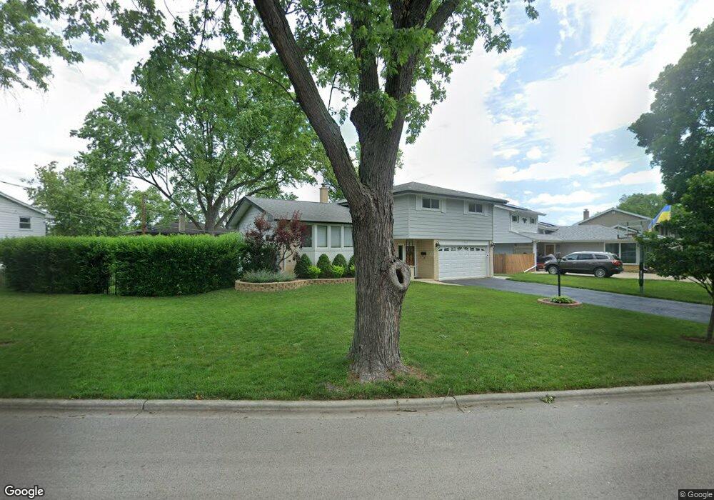
1304 E Cedar Ln Mount Prospect, IL 60056
North Mount Prospect NeighborhoodEstimated Value: $485,217 - $523,000
3
Beds
3
Baths
1,984
Sq Ft
$255/Sq Ft
Est. Value
About This Home
This home is located at 1304 E Cedar Ln, Mount Prospect, IL 60056 and is currently estimated at $506,054, approximately $255 per square foot. 1304 E Cedar Ln is a home located in Cook County with nearby schools including Euclid Elementary School, River Trails Middle School, and John Hersey High School.
Ownership History
Date
Name
Owned For
Owner Type
Purchase Details
Closed on
Feb 12, 2015
Sold by
Mananedakis George and Mananedakis Alexandra
Bought by
Mananedaki George and Mananedakis Alexandra
Current Estimated Value
Home Financials for this Owner
Home Financials are based on the most recent Mortgage that was taken out on this home.
Original Mortgage
$297,496
Outstanding Balance
$225,600
Interest Rate
3.73%
Mortgage Type
New Conventional
Estimated Equity
$280,454
Purchase Details
Closed on
Mar 15, 2007
Sold by
Vanpraag Gary D and Vanpraag Van Praag
Bought by
Mananedakis George and Fronimos Alexandra
Home Financials for this Owner
Home Financials are based on the most recent Mortgage that was taken out on this home.
Original Mortgage
$298,000
Interest Rate
6.4%
Mortgage Type
Unknown
Create a Home Valuation Report for This Property
The Home Valuation Report is an in-depth analysis detailing your home's value as well as a comparison with similar homes in the area
Home Values in the Area
Average Home Value in this Area
Purchase History
| Date | Buyer | Sale Price | Title Company |
|---|---|---|---|
| Mananedaki George | -- | Servicelink | |
| Mananedakis George | $372,500 | Golden Title |
Source: Public Records
Mortgage History
| Date | Status | Borrower | Loan Amount |
|---|---|---|---|
| Open | Mananedaki George | $297,496 | |
| Closed | Mananedakis George | $298,000 |
Source: Public Records
Tax History
| Year | Tax Paid | Tax Assessment Tax Assessment Total Assessment is a certain percentage of the fair market value that is determined by local assessors to be the total taxable value of land and additions on the property. | Land | Improvement |
|---|---|---|---|---|
| 2025 | $9,359 | $50,001 | $7,340 | $42,661 |
| 2024 | $9,359 | $34,491 | $6,291 | $28,200 |
| 2023 | $8,950 | $34,491 | $6,291 | $28,200 |
| 2022 | $8,950 | $34,491 | $6,291 | $28,200 |
| 2021 | $7,430 | $25,723 | $4,019 | $21,704 |
| 2020 | $8,536 | $29,725 | $4,019 | $25,706 |
| 2019 | $8,568 | $33,139 | $4,019 | $29,120 |
| 2018 | $0 | $25,892 | $3,495 | $22,397 |
| 2017 | $7,177 | $25,892 | $3,495 | $22,397 |
| 2016 | $7,384 | $27,193 | $3,495 | $23,698 |
| 2015 | $6,697 | $23,214 | $2,970 | $20,244 |
| 2014 | $6,607 | $23,214 | $2,970 | $20,244 |
| 2013 | $6,429 | $23,214 | $2,970 | $20,244 |
Source: Public Records
Map
Nearby Homes
- 1008 N Newberry Ln
- 216 Country Club Dr Unit 198
- 1414 N Indigo Dr
- 509 Aberdeen Ln Unit C
- 501 Aberdeen Ln Unit C
- 1210 N Wheeling Rd Unit 1
- 109 Rob Roy Ln Unit C
- 601 E Hackberry Ln
- 932 N Wheeling Rd
- 105 E Elaine Cir
- 1821 E Boulder Dr
- 203 Coldren Dr
- 608 N Eastman Dr
- 1203 N Burning Bush Ln
- 410 E Garwood Ave
- 1813 E Wood Ln
- 912 N Sumac Ln
- 206 E Camp Mcdonald Rd
- 100 Hawthorne Place
- 108 N Wheeling Rd
- 1400 E Cedar Ln
- 1403 E Barberry Ln
- 1401 E Barberry Ln
- 1405 E Barberry Ln
- 1402 E Cedar Ln
- 1301 E Cedar Ln
- 1303 E Cedar Ln
- 1407 E Barberry Ln
- 1305 E Cedar Ln
- 1401 E Cedar Ln
- 1305 E Barberry Ln
- 1404 E Cedar Ln
- 1403 E Cedar Ln
- 1409 E Barberry Ln
- 1405 E Cedar Ln
- 1303 E Barberry Ln
- 1113 N Westgate Rd
- 1406 E Cedar Ln
- 1404 E Barberry Ln
- 1406 E Barberry Ln