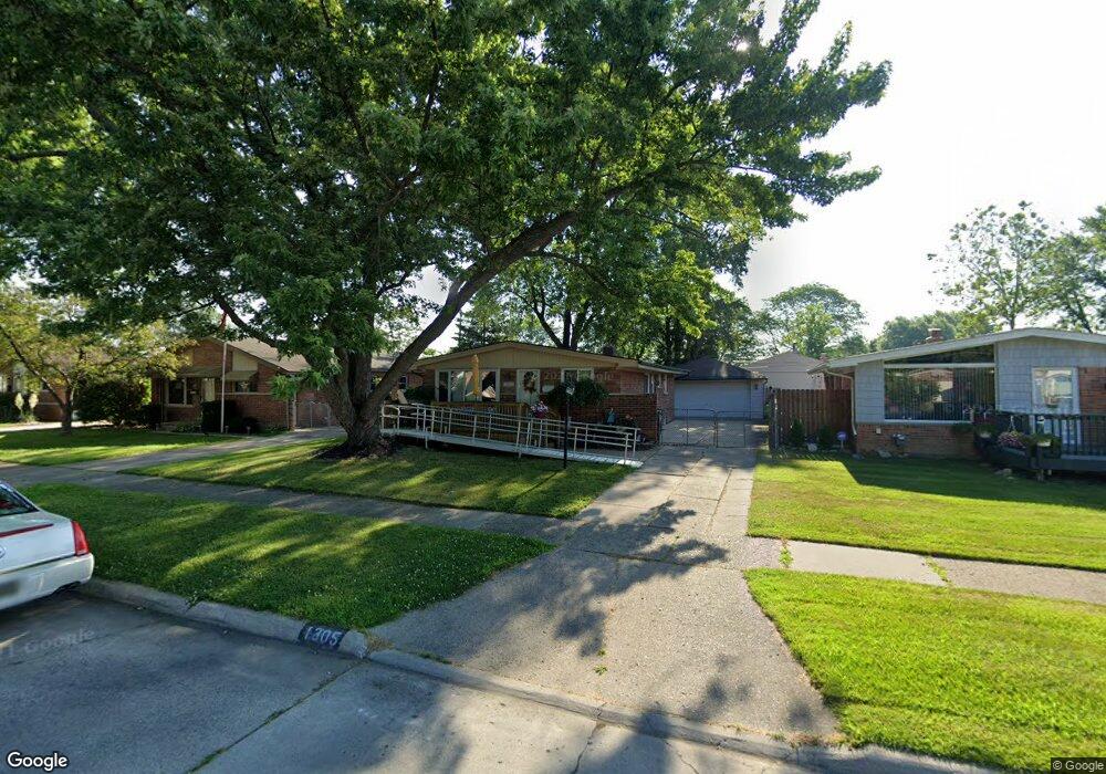
1305 Alvin St Westland, MI 48186
Estimated Value: $199,007 - $222,000
3
Beds
2
Baths
981
Sq Ft
$215/Sq Ft
Est. Value
About This Home
This home is located at 1305 Alvin St, Westland, MI 48186 and is currently estimated at $210,502, approximately $214 per square foot. 1305 Alvin St is a home located in Wayne County with nearby schools including Alexander Hamilton Elementary School, Adams Middle School, and Benjamin Franklin Middle School.
Ownership History
Date
Name
Owned For
Owner Type
Purchase Details
Closed on
Nov 19, 2024
Sold by
Tri-City Family Homes Llc
Bought by
Gleneski David M and Kenczyk Steven
Current Estimated Value
Purchase Details
Closed on
Jul 28, 2010
Sold by
Patterson Linda Kay
Bought by
Federal Home Loan Mortgage Corp
Purchase Details
Closed on
May 16, 2003
Sold by
Patterson Linda Kay and Patterson Matthew
Bought by
Patterson Linda Kay
Home Financials for this Owner
Home Financials are based on the most recent Mortgage that was taken out on this home.
Original Mortgage
$80,700
Interest Rate
5.88%
Mortgage Type
Purchase Money Mortgage
Purchase Details
Closed on
Nov 13, 2001
Sold by
Patterson Linda K
Bought by
Patterson Linda K
Create a Home Valuation Report for This Property
The Home Valuation Report is an in-depth analysis detailing your home's value as well as a comparison with similar homes in the area
Home Values in the Area
Average Home Value in this Area
Purchase History
| Date | Buyer | Sale Price | Title Company |
|---|---|---|---|
| Gleneski David M | -- | None Listed On Document | |
| Gleneski David M | -- | None Listed On Document | |
| Federal Home Loan Mortgage Corp | $76,731 | None Available | |
| Patterson Linda Kay | -- | -- | |
| Patterson Linda K | -- | -- |
Source: Public Records
Mortgage History
| Date | Status | Borrower | Loan Amount |
|---|---|---|---|
| Previous Owner | Patterson Linda Kay | $80,700 |
Source: Public Records
Tax History Compared to Growth
Tax History
| Year | Tax Paid | Tax Assessment Tax Assessment Total Assessment is a certain percentage of the fair market value that is determined by local assessors to be the total taxable value of land and additions on the property. | Land | Improvement |
|---|---|---|---|---|
| 2025 | $2,518 | $88,200 | $0 | $0 |
| 2024 | $2,518 | $83,400 | $0 | $0 |
| 2023 | $2,403 | $72,900 | $0 | $0 |
| 2022 | $2,665 | $64,300 | $0 | $0 |
| 2021 | $2,607 | $61,200 | $0 | $0 |
| 2020 | $2,579 | $56,100 | $0 | $0 |
| 2019 | $2,501 | $54,200 | $0 | $0 |
| 2018 | $2,031 | $46,700 | $0 | $0 |
| 2017 | $691 | $43,400 | $0 | $0 |
| 2016 | $2,413 | $43,200 | $0 | $0 |
| 2015 | $3,431 | $38,740 | $0 | $0 |
| 2013 | $3,324 | $34,000 | $0 | $0 |
| 2012 | $1,775 | $33,460 | $0 | $0 |
Source: Public Records
Map
Nearby Homes
- 1163 Denice St
- 32732 Glen St
- 0000 Barrington Ave
- 754 Alvin St
- 32508 Avondale St
- 711 S Hawthorne St
- 34114 Avondale St
- 32411 Grandview Ave
- 2075 Alanson St
- 183 Daniel Ave Unit 6
- 535 S Hubbard St
- 32154 Melton St
- 32155 Melton St
- 00000 Cherry Hill Rd
- 1631 Ackley Ave
- 2017 Eastport St
- 34553 Hazelwood St
- 451 Darwin St
- 32140 Palmer Rd
- 32332 Kalamazoo Ct