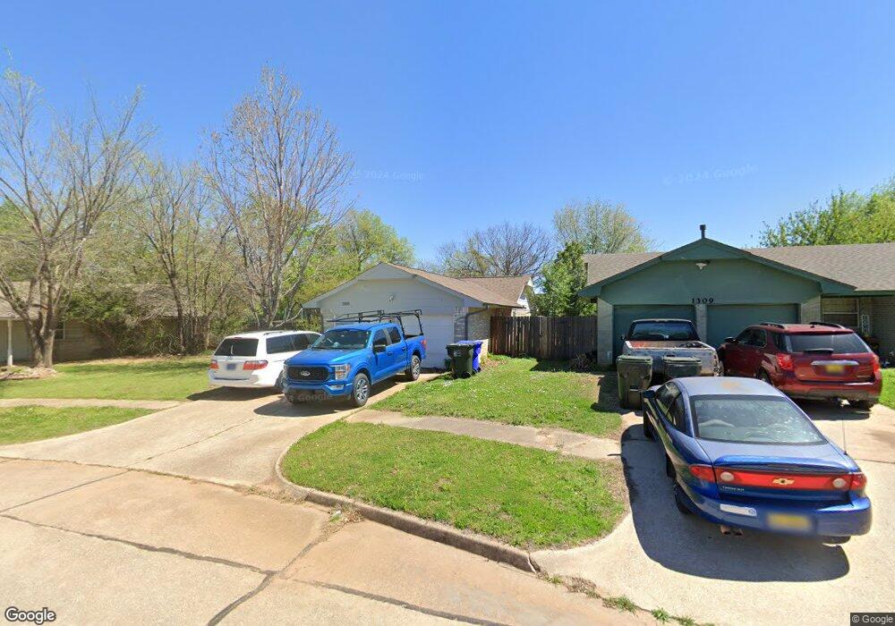
1305 Amhurst Ave Norman, OK 73071
Southeast Norman NeighborhoodEstimated Value: $155,000 - $183,000
3
Beds
2
Baths
1,107
Sq Ft
$152/Sq Ft
Est. Value
About This Home
This home is located at 1305 Amhurst Ave, Norman, OK 73071 and is currently estimated at $167,914, approximately $151 per square foot. 1305 Amhurst Ave is a home located in Cleveland County with nearby schools including Ronald Reagan Elementary School, Irving Middle School, and Norman High School.
Ownership History
Date
Name
Owned For
Owner Type
Purchase Details
Closed on
Jan 28, 2011
Sold by
Opdyke Deborah L
Bought by
Scott Brittany L and Mclaury Dennis H
Current Estimated Value
Home Financials for this Owner
Home Financials are based on the most recent Mortgage that was taken out on this home.
Original Mortgage
$80,407
Outstanding Balance
$55,177
Interest Rate
4.84%
Mortgage Type
FHA
Estimated Equity
$112,737
Create a Home Valuation Report for This Property
The Home Valuation Report is an in-depth analysis detailing your home's value as well as a comparison with similar homes in the area
Home Values in the Area
Average Home Value in this Area
Purchase History
| Date | Buyer | Sale Price | Title Company |
|---|---|---|---|
| Scott Brittany L | $82,500 | None Available |
Source: Public Records
Mortgage History
| Date | Status | Borrower | Loan Amount |
|---|---|---|---|
| Open | Scott Brittany L | $80,407 |
Source: Public Records
Tax History Compared to Growth
Tax History
| Year | Tax Paid | Tax Assessment Tax Assessment Total Assessment is a certain percentage of the fair market value that is determined by local assessors to be the total taxable value of land and additions on the property. | Land | Improvement |
|---|---|---|---|---|
| 2024 | $1,336 | $11,156 | $2,705 | $8,451 |
| 2023 | $1,276 | $10,625 | $2,674 | $7,951 |
| 2022 | $1,165 | $10,119 | $1,800 | $8,319 |
| 2021 | $1,228 | $10,119 | $1,800 | $8,319 |
| 2020 | $1,201 | $10,119 | $1,800 | $8,319 |
| 2019 | $1,222 | $10,119 | $1,800 | $8,319 |
| 2018 | $1,185 | $10,119 | $1,800 | $8,319 |
| 2017 | $1,198 | $10,119 | $0 | $0 |
| 2016 | $1,196 | $9,927 | $1,766 | $8,161 |
| 2015 | $1,104 | $9,454 | $1,135 | $8,319 |
| 2014 | $1,115 | $9,454 | $1,135 | $8,319 |
Source: Public Records
Map
Nearby Homes
- 1600 Rolling Stone Dr
- 2361 Heatherfield Ln
- 1603 Oakcrest Ave
- 1301 Whippoorwill Dr
- 916 Beaumont Square
- 833 Beaumont Square
- 809 Beaumont Square
- 1812 Ridgewood Dr
- 1723 E Lindsey St Unit 2
- 1813 E Lindsey St Unit 4
- 1301 Briar Patch Way
- 1209 Briar Patch Way
- 1900 Twin Tree Dr
- 1833 Parkridge Dr
- 1813 Candlewood Dr
- 2113 Natchez Dr
- 1848 Parkridge Dr
- 1908 Frost Ln
- 2728 Dunham Dr
- 2712 Dunham Dr
- 1309 Amhurst Ave
- 1301 Amhurst Ave
- 1313 Amhurst Ave
- 1310 Glen Oaks Ct
- 1312 Glen Oaks Ct
- 1314 Glen Oaks Ct
- 1306 Glen Oaks Ct
- 1318 Glen Oaks Ct
- 1304 Glen Oaks Ct
- 1317 Amhurst Ave
- 1316 Glen Oaks Ct
- 2141 Allenhurst St
- 1322 Glen Oaks Ct
- 2140 Allenhurst St
- 1320 Glen Oaks Ct
- 1302 Glen Oaks Ct
- 1324 Glen Oaks Ct
- 1326 Glen Oaks Ct
- 1321 Amhurst Ave
- 2137 Allenhurst St