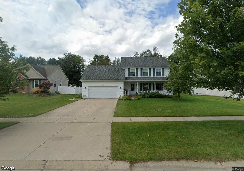
1305 Ashwood Ln Unit 24 Howell, MI 48843
Estimated Value: $365,326 - $396,000
--
Bed
2
Baths
1,523
Sq Ft
$249/Sq Ft
Est. Value
About This Home
This home is located at 1305 Ashwood Ln Unit 24, Howell, MI 48843 and is currently estimated at $379,582, approximately $249 per square foot. 1305 Ashwood Ln Unit 24 is a home located in Livingston County with nearby schools including Northwest Elementary School, Highlander Way Middle School, and Howell High School.
Ownership History
Date
Name
Owned For
Owner Type
Purchase Details
Closed on
Jul 13, 2009
Sold by
Gnagey Ryan A and Gnagey Lauren M
Bought by
Ryan A And Lauren M Gnagey Living Trus
Current Estimated Value
Purchase Details
Closed on
May 26, 2005
Sold by
Garris Scott L and Garris Mary Lou
Bought by
Gnagey Ryan A and Gnagey Lauren M
Home Financials for this Owner
Home Financials are based on the most recent Mortgage that was taken out on this home.
Original Mortgage
$184,350
Interest Rate
5.91%
Mortgage Type
Fannie Mae Freddie Mac
Purchase Details
Closed on
Sep 20, 2002
Sold by
Garris Scott L and Garris Mary Lou
Bought by
Garris Scott L and Garris Mary Lou
Purchase Details
Closed on
Sep 7, 2000
Sold by
Hamway Homes Inc
Bought by
Garris Scott L and Garris Mary Lou
Create a Home Valuation Report for This Property
The Home Valuation Report is an in-depth analysis detailing your home's value as well as a comparison with similar homes in the area
Home Values in the Area
Average Home Value in this Area
Purchase History
| Date | Buyer | Sale Price | Title Company |
|---|---|---|---|
| Ryan A And Lauren M Gnagey Living Trus | -- | -- | |
| Gnagey Ryan A | $230,500 | Guaranty Title Company | |
| Garris Scott L | -- | -- | |
| Garris Scott L | $196,500 | Select Title Company |
Source: Public Records
Mortgage History
| Date | Status | Borrower | Loan Amount |
|---|---|---|---|
| Previous Owner | Gnagey Ryan A | $184,350 | |
| Previous Owner | Gnagey Ryan A | $23,100 |
Source: Public Records
Tax History Compared to Growth
Tax History
| Year | Tax Paid | Tax Assessment Tax Assessment Total Assessment is a certain percentage of the fair market value that is determined by local assessors to be the total taxable value of land and additions on the property. | Land | Improvement |
|---|---|---|---|---|
| 2025 | $1,561 | $168,000 | $0 | $0 |
| 2024 | $1,517 | $160,800 | $0 | $0 |
| 2023 | $1,449 | $137,400 | $0 | $0 |
| 2022 | $672 | $115,300 | $0 | $0 |
| 2021 | $2,007 | $120,600 | $0 | $0 |
| 2020 | $2,030 | $115,300 | $0 | $0 |
| 2019 | $2,001 | $107,900 | $0 | $0 |
| 2018 | $1,981 | $97,800 | $0 | $0 |
| 2017 | $1,968 | $95,500 | $0 | $0 |
| 2016 | $1,940 | $92,600 | $0 | $0 |
| 2014 | $1,825 | $79,900 | $0 | $0 |
| 2012 | $1,825 | $75,800 | $0 | $0 |
Source: Public Records
Map
Nearby Homes
- 1400 Oakcrest Rd
- 1570 Princewood Blvd
- 1633 Frech Ln
- 2511 Kerria Dr Unit 42
- 3040 Bogues View Dr
- VACANT LOT Thompson Shore Dr
- 2653 Ravine Side N
- 475 Cannonade Loop
- 571 Cannonade Loop
- 523 Cannonade Loop
- 583 Cannonade Loop
- 3224 Waverly Woods Ln
- 3227 Waverly Woods Ln
- 559 Cannonade Loop
- The Austin Plan at Broadmoor
- The Charlotte Plan at Broadmoor
- The Harrison Plan at Broadmoor
- The Bloomington Plan at Broadmoor
- The Columbia Plan at Broadmoor
- 2700 Court Ln N
- 1323 Ashwood Ln Unit 25
- 1287 Ashwood Ln
- 0 Ashwood Ln
- 1341 Ashwood Ln Unit 26
- 1269 Ashwood Ln
- 1302 Ashwood Ln
- 1302 Heather Glens Ct Unit 36
- 1318 Heather Glens Ct Unit 35
- 1320 Ashwood Ln Unit 93
- 1286 Heather Glens Ct
- 1284 Ashwood Ln
- 1338 Ashwood Ln Unit 92
- 1359 Ashwood Ln Unit 27
- 1249 Ashwood Ln
- 1270 Heather Glens Ct Unit 38
- 1266 Ashwood Ln
- 1334 Heather Glens Ct Unit 34
- 1356 Ashwood Ln
- 1254 Heather Glens Ct Unit 39
- 1299 Maple Leaf Ln Unit 85