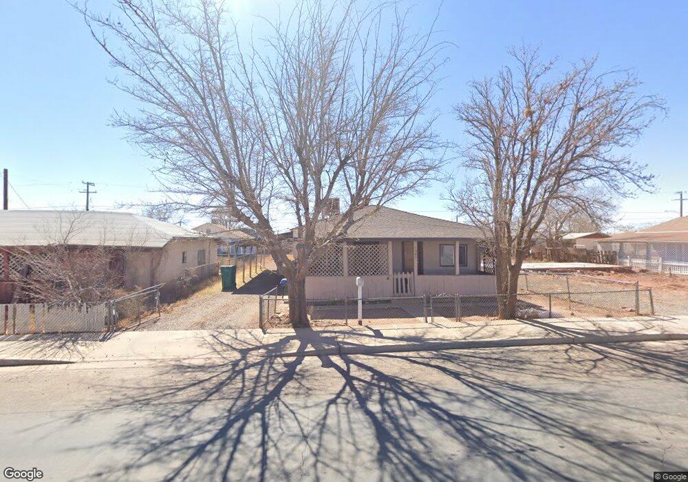
1305 Central St Winslow, AZ 86047
Estimated Value: $135,000 - $196,559
3
Beds
2
Baths
1,394
Sq Ft
$110/Sq Ft
Est. Value
About This Home
This home is located at 1305 Central St, Winslow, AZ 86047 and is currently estimated at $153,890, approximately $110 per square foot. 1305 Central St is a home located in Navajo County with nearby schools including Winslow High School and Red Sands Christian School.
Ownership History
Date
Name
Owned For
Owner Type
Purchase Details
Closed on
Jan 10, 2012
Sold by
The Bank Of New York Mellon
Bought by
Mcgrath Ventures Inc
Current Estimated Value
Purchase Details
Closed on
Aug 30, 2011
Sold by
Smith Samuel J
Bought by
The Bank Of New York Mellon and The Bank Of New York
Purchase Details
Closed on
Aug 4, 2005
Sold by
Villarino Lydia T and Montoya Amalia
Bought by
Smith Samuel J
Home Financials for this Owner
Home Financials are based on the most recent Mortgage that was taken out on this home.
Original Mortgage
$35,000
Interest Rate
9.37%
Mortgage Type
New Conventional
Create a Home Valuation Report for This Property
The Home Valuation Report is an in-depth analysis detailing your home's value as well as a comparison with similar homes in the area
Purchase History
| Date | Buyer | Sale Price | Title Company |
|---|---|---|---|
| Mcgrath Ventures Inc | $24,500 | Lawyers Title Of Arizona | |
| The Bank Of New York Mellon | $32,850 | First American Title | |
| Smith Samuel J | $35,000 | First American Title |
Source: Public Records
Mortgage History
| Date | Status | Borrower | Loan Amount |
|---|---|---|---|
| Previous Owner | Smith Samuel J | $35,000 |
Source: Public Records
Tax History
| Year | Tax Paid | Tax Assessment Tax Assessment Total Assessment is a certain percentage of the fair market value that is determined by local assessors to be the total taxable value of land and additions on the property. | Land | Improvement |
|---|---|---|---|---|
| 2026 | $291 | -- | -- | -- |
| 2025 | $278 | $6,840 | $450 | $6,390 |
| 2024 | $266 | $6,074 | $395 | $5,679 |
| 2023 | $278 | $5,022 | $548 | $4,474 |
| 2022 | $266 | $0 | $0 | $0 |
| 2021 | $266 | $0 | $0 | $0 |
| 2020 | $256 | $0 | $0 | $0 |
| 2019 | $246 | $0 | $0 | $0 |
| 2018 | $235 | $0 | $0 | $0 |
| 2017 | $225 | $0 | $0 | $0 |
| 2016 | $214 | $0 | $0 | $0 |
| 2015 | $202 | $1,763 | $388 | $1,375 |
Source: Public Records
Map
Nearby Homes
- 415 S Edwin Ave
- 1421 Central St
- 1100 W 2nd St Unit 23
- 1100 W 2nd St
- 816 Airport Rd
- 3-Lots Deer Field Blvd
- 420 W 2nd St
- TBD-1 Deer Feild Blvd
- 936 Deer Field Blvd
- 523 W Aspinwall St
- 700 W Maple St
- 1105 W 3rd St
- 1950 W 3rd St
- 801 W Mahoney St
- 901 N Prairie Ave
- 601 N Berry Ave
- 1966 Round House Dr
- 606 W Elm St
- 108 W 1st St
- 2080 Round House Dr
- 1301 Central St
- 411 S Dent Ave
- 1309 Central St
- 1313 Central St
- 1317 Central St
- 1308 Short St
- 419 S Dent Ave
- 1300 Central St
- 1219 Central St
- 1314 Short St
- 422 S Dent Ave
- 1010 Central St
- 1320 Short St
- 1316 Central St
- 1216 Central St
- 1213 Central St
- 1210 Short St
- 1209 Central St
- 1401 Central St
- 1305 Short St
Your Personal Tour Guide
Ask me questions while you tour the home.