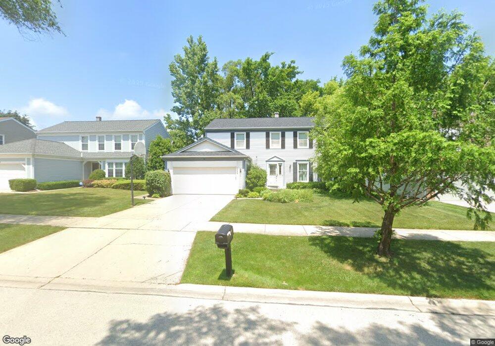
1305 Devonshire Rd Buffalo Grove, IL 60089
Prairie Park-Lake County NeighborhoodEstimated Value: $512,003 - $607,000
Studio
3
Baths
2,199
Sq Ft
$256/Sq Ft
Est. Value
About This Home
This home is located at 1305 Devonshire Rd, Buffalo Grove, IL 60089 and is currently estimated at $563,251, approximately $256 per square foot. 1305 Devonshire Rd is a home located in Lake County with nearby schools including Prairie Elementary School, Twin Groves Middle School, and Adlai E Stevenson High School.
Ownership History
Date
Name
Owned For
Owner Type
Purchase Details
Closed on
May 28, 1999
Sold by
Lebovitz Michael and Lebovitz Janice
Bought by
Weisberg Daniel R and Weisberg Joan B
Current Estimated Value
Home Financials for this Owner
Home Financials are based on the most recent Mortgage that was taken out on this home.
Original Mortgage
$205,000
Outstanding Balance
$54,110
Interest Rate
7.06%
Estimated Equity
$509,141
Create a Home Valuation Report for This Property
The Home Valuation Report is an in-depth analysis detailing your home's value as well as a comparison with similar homes in the area
Home Values in the Area
Average Home Value in this Area
Purchase History
| Date | Buyer | Sale Price | Title Company |
|---|---|---|---|
| Weisberg Daniel R | $176,666 | -- |
Source: Public Records
Mortgage History
| Date | Status | Borrower | Loan Amount |
|---|---|---|---|
| Open | Weisberg Daniel R | $205,000 |
Source: Public Records
Tax History
| Year | Tax Paid | Tax Assessment Tax Assessment Total Assessment is a certain percentage of the fair market value that is determined by local assessors to be the total taxable value of land and additions on the property. | Land | Improvement |
|---|---|---|---|---|
| 2024 | $14,348 | $156,716 | $33,162 | $123,554 |
| 2023 | $13,596 | $147,873 | $31,291 | $116,582 |
| 2022 | $13,596 | $136,387 | $28,860 | $107,527 |
| 2021 | $13,081 | $134,917 | $28,549 | $106,368 |
| 2020 | $12,773 | $135,377 | $28,646 | $106,731 |
| 2019 | $12,597 | $134,878 | $28,540 | $106,338 |
| 2018 | $12,192 | $134,709 | $28,208 | $106,501 |
| 2017 | $11,961 | $131,565 | $27,550 | $104,015 |
| 2016 | $11,650 | $125,984 | $26,381 | $99,603 |
| 2015 | $11,342 | $117,819 | $24,671 | $93,148 |
| 2014 | $10,367 | $106,732 | $26,496 | $80,236 |
| 2012 | $10,292 | $106,946 | $26,549 | $80,397 |
Source: Public Records
Map
Nearby Homes
- 1265 Devonshire Rd
- 1234 Devonshire Rd
- 1361 Brandywyn Ln
- 1318 Gail Dr Unit 4
- 962 Thompson Blvd
- 1380 Larchmont Dr
- 327 Lasalle Ln
- 1152 Courtland Dr Unit 406
- 5176 Aptakisic Rd
- 531 Lasalle Ln
- 1161 Parker Ln
- 5152 Bridlewood Ln
- 5107 N Arlington Heights Rd
- 810 Silver Rock Ln
- 5135 Bridlewood Ct
- 533 Lyon Dr
- 1265 Franklin Ln Unit L1
- 938 Hidden Lake Dr
- 1096 Pine Tree Cir N
- 126 Autumn Ct Unit CT76021
- 1303 Devonshire Rd
- 1307 Devonshire Rd
- 860 Chaucer Way
- 872 Chaucer Way
- 1301 Devonshire Rd
- 1309 Devonshire Rd
- 848 Chaucer Way
- 1304 Devonshire Rd
- 1306 Devonshire Rd
- 884 Chaucer Way
- 1302 Devonshire Rd
- 1311 Devonshire Rd
- 1299 Devonshire Rd
- 1308 Devonshire Rd
- 1300 Devonshire Rd
- 836 Chaucer Way
- 1310 Devonshire Rd
- 1293 Devonshire Rd
- 1313 Devonshire Rd
- 1264 Dayton Rd
Your Personal Tour Guide
Ask me questions while you tour the home.