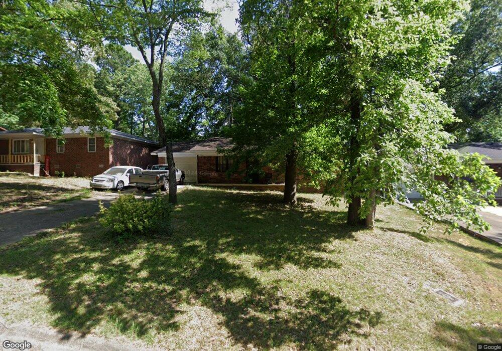
1305 Liberty Dr Jacksonville, AR 72076
Estimated Value: $113,000 - $134,000
--
Bed
3
Baths
1,181
Sq Ft
$104/Sq Ft
Est. Value
About This Home
This home is located at 1305 Liberty Dr, Jacksonville, AR 72076 and is currently estimated at $123,380, approximately $104 per square foot. 1305 Liberty Dr is a home located in Pulaski County with nearby schools including Murrell Taylor Elementary School, Jacksonville Middle School, and Jacksonville High School.
Ownership History
Date
Name
Owned For
Owner Type
Purchase Details
Closed on
Dec 22, 1998
Sold by
Federal National Mortgage Association
Bought by
Ward Dennis C
Current Estimated Value
Purchase Details
Closed on
May 1, 1998
Sold by
Union Planters Bank Na
Bought by
Federal National Mortgage Association
Purchase Details
Closed on
Jun 30, 1997
Sold by
Mcmullan Marian Major
Bought by
Union Planters National Bank
Create a Home Valuation Report for This Property
The Home Valuation Report is an in-depth analysis detailing your home's value as well as a comparison with similar homes in the area
Home Values in the Area
Average Home Value in this Area
Purchase History
| Date | Buyer | Sale Price | Title Company |
|---|---|---|---|
| Ward Dennis C | $13,333 | -- | |
| Federal National Mortgage Association | -- | -- | |
| Union Planters National Bank | $39,220 | -- |
Source: Public Records
Tax History Compared to Growth
Tax History
| Year | Tax Paid | Tax Assessment Tax Assessment Total Assessment is a certain percentage of the fair market value that is determined by local assessors to be the total taxable value of land and additions on the property. | Land | Improvement |
|---|---|---|---|---|
| 2025 | $1,126 | $18,380 | $1,200 | $17,180 |
| 2024 | $846 | $18,380 | $1,200 | $17,180 |
| 2023 | $846 | $18,380 | $1,200 | $17,180 |
| 2022 | $885 | $18,380 | $1,200 | $17,180 |
| 2021 | $804 | $13,100 | $740 | $12,360 |
| 2020 | $804 | $13,100 | $740 | $12,360 |
| 2019 | $804 | $13,100 | $740 | $12,360 |
| 2018 | $804 | $13,100 | $740 | $12,360 |
| 2017 | $804 | $13,100 | $740 | $12,360 |
| 2016 | $802 | $14,910 | $2,600 | $12,310 |
| 2015 | $802 | $14,910 | $2,600 | $12,310 |
| 2014 | $802 | $14,910 | $2,600 | $12,310 |
Source: Public Records
Map
Nearby Homes
- 1302 King St
- 910 Ray Rd
- 13 Michelle Ln Unit A
- 419 Church St
- 1404 Southeastern Ave
- 602 Ray Rd
- 720 Southeastern Ave
- 134 Pike Ave
- 219 Lonsdale Cir
- 29 Collins Rd
- 1401 Tamara Park
- 111 Joiner Ave
- 1110 Wright St
- 10 Park Dr
- 305 Smart St
- 191 Roosevelt Rd
- 600 Sorrells Dr
- 221 Pearl St
- 127 Wilson St
- 109 Galloway Cir
- 1307 Liberty Dr
- 1303 Liberty Dr
- 1301 Liberty Dr
- 1304 Liberty Dr
- 1308 Liberty Dr
- 1315 Liberty Dr
- 1211 Liberty Dr
- 1302 Liberty Dr
- 1312 Liberty Dr
- 1207 Liberty Dr
- 1319 Liberty Dr
- 1210 Liberty Dr
- 1316 Liberty Dr
- 2 John Hancock Cir
- 1206 Liberty Dr
- 1203 Liberty Dr
- 7 John Hancock Cir
- 1320 Liberty Dr
- 9 John Hancock Cir
- 4 John Hancock Cir