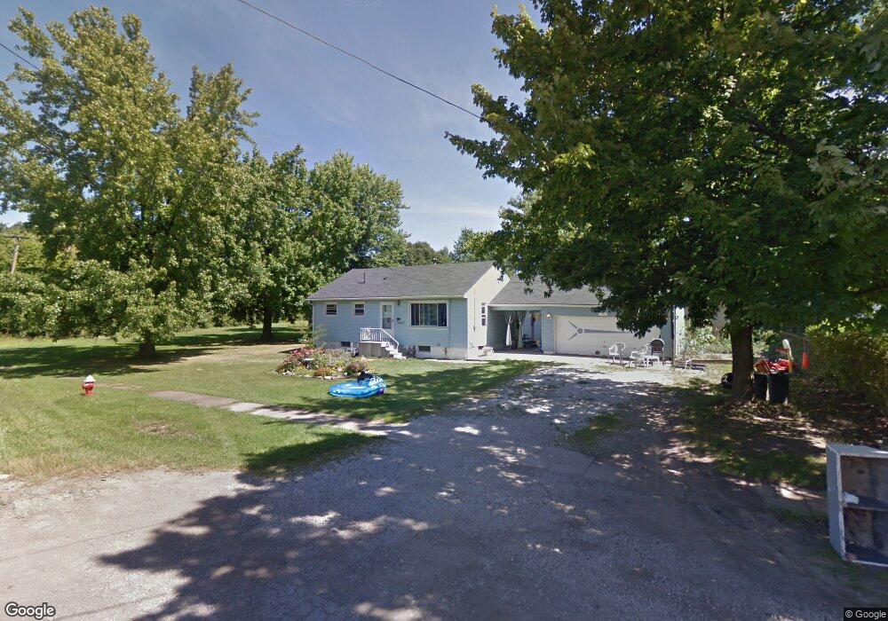
1305 Maine Ave Lorain, OH 44052
Estimated Value: $107,000 - $125,894
3
Beds
1
Bath
864
Sq Ft
$135/Sq Ft
Est. Value
About This Home
This home is located at 1305 Maine Ave, Lorain, OH 44052 and is currently estimated at $116,974, approximately $135 per square foot. 1305 Maine Ave is a home located in Lorain County with nearby schools including Larkmoor Elementary School, Longfellow Middle School, and Lorain High School.
Ownership History
Date
Name
Owned For
Owner Type
Purchase Details
Closed on
Apr 4, 2004
Sold by
Ocwen Federal Bank Fsb
Bought by
Penny Ruth E
Current Estimated Value
Home Financials for this Owner
Home Financials are based on the most recent Mortgage that was taken out on this home.
Original Mortgage
$48,000
Outstanding Balance
$23,700
Interest Rate
6.37%
Mortgage Type
Purchase Money Mortgage
Estimated Equity
$93,274
Purchase Details
Closed on
Dec 5, 2003
Sold by
Lamats William
Bought by
Ocwen Federal Bank Fsb
Create a Home Valuation Report for This Property
The Home Valuation Report is an in-depth analysis detailing your home's value as well as a comparison with similar homes in the area
Home Values in the Area
Average Home Value in this Area
Purchase History
| Date | Buyer | Sale Price | Title Company |
|---|---|---|---|
| Penny Ruth E | $60,000 | -- | |
| Ocwen Federal Bank Fsb | $48,000 | -- |
Source: Public Records
Mortgage History
| Date | Status | Borrower | Loan Amount |
|---|---|---|---|
| Open | Penny Ruth E | $48,000 | |
| Closed | Penny Ruth E | $12,000 |
Source: Public Records
Tax History Compared to Growth
Tax History
| Year | Tax Paid | Tax Assessment Tax Assessment Total Assessment is a certain percentage of the fair market value that is determined by local assessors to be the total taxable value of land and additions on the property. | Land | Improvement |
|---|---|---|---|---|
| 2024 | $924 | $33,233 | $3,623 | $29,610 |
| 2023 | $640 | $21,588 | $3,598 | $17,990 |
| 2022 | $1,102 | $21,588 | $3,598 | $17,990 |
| 2021 | $1,102 | $21,588 | $3,598 | $17,990 |
| 2020 | $1,052 | $17,900 | $2,980 | $14,920 |
| 2019 | $1,046 | $17,900 | $2,980 | $14,920 |
| 2018 | $1,113 | $17,900 | $2,980 | $14,920 |
| 2017 | $1,179 | $19,020 | $5,250 | $13,770 |
| 2016 | $1,170 | $19,020 | $5,250 | $13,770 |
| 2015 | $1,104 | $19,020 | $5,250 | $13,770 |
| 2014 | $1,048 | $18,110 | $5,000 | $13,110 |
| 2013 | $1,040 | $18,110 | $5,000 | $13,110 |
Source: Public Records
Map
Nearby Homes
- 1318 Maryland Ave
- 1330 Maryland Ave
- 1943 G St
- 423 Kansas Ave
- 313 Kansas Ave
- 2279 Adams St
- 2236 Randall St
- 1651 E Erie Ave
- 2612 Larkmoor St
- 2235 E Erie Ave
- 2637 Jackson St
- 207 Georgia Ave
- 1603 Nevada Ave
- 0 Eastlawn St Unit 5106705
- 906 E Erie Ave
- 0 New Hampshire Ave
- 0 New Hampshire Ave
- 1623 Nevada Ave
- 723 E St
- 2817 Mckinley St
- 1311 Maine Ave
- 1310 Maryland Ave
- 1322 Maryland Ave
- 1315 Maine Ave
- 1324 Maryland Ave
- 1310 Maine Ave
- 1302 Maryland Ave
- 1318 Maine Ave
- 1323 Maine Ave
- 1334 Maryland Ave
- 1320 Maine Ave
- 1327 Maine Ave
- 1338 Maryland Ave
- 1331 Maine Ave
- 1325 Maryland Ave
- 1313 Maryland Ave
- 1328 Maine Ave
- 1342 Maryland Ave
- 1333 Maine Ave
- 1333 Maine Ave