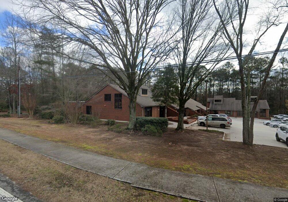
1305 Milstead Ave NE Unit B Conyers, GA 30012
Estimated Value: $465,237
--
Bed
--
Bath
5,698
Sq Ft
$82/Sq Ft
Est. Value
About This Home
This home is located at 1305 Milstead Ave NE Unit B, Conyers, GA 30012 and is currently priced at $465,237, approximately $81 per square foot. 1305 Milstead Ave NE Unit B is a home located in Rockdale County with nearby schools including Pine Street Elementary School, Conyers Middle School, and Rockdale County High School.
Ownership History
Date
Name
Owned For
Owner Type
Purchase Details
Closed on
Jun 16, 2004
Sold by
Berson Michael J
Bought by
La Dolce Vida Holdings Llc
Current Estimated Value
Home Financials for this Owner
Home Financials are based on the most recent Mortgage that was taken out on this home.
Original Mortgage
$196,169
Interest Rate
6.3%
Mortgage Type
Commercial
Create a Home Valuation Report for This Property
The Home Valuation Report is an in-depth analysis detailing your home's value as well as a comparison with similar homes in the area
Home Values in the Area
Average Home Value in this Area
Purchase History
| Date | Buyer | Sale Price | Title Company |
|---|---|---|---|
| La Dolce Vida Holdings Llc | $240,000 | -- |
Source: Public Records
Mortgage History
| Date | Status | Borrower | Loan Amount |
|---|---|---|---|
| Closed | La Dolce Vida Holdings Llc | $196,169 |
Source: Public Records
Tax History Compared to Growth
Tax History
| Year | Tax Paid | Tax Assessment Tax Assessment Total Assessment is a certain percentage of the fair market value that is determined by local assessors to be the total taxable value of land and additions on the property. | Land | Improvement |
|---|---|---|---|---|
| 2024 | -- | $78,000 | $12,160 | $65,840 |
| 2023 | $0 | $75,560 | $9,720 | $65,840 |
| 2022 | $3,563 | $64,760 | $9,720 | $55,040 |
| 2021 | $72 | $64,760 | $9,720 | $55,040 |
| 2020 | $72 | $64,760 | $9,720 | $55,040 |
| 2019 | $72 | $64,760 | $9,720 | $55,040 |
| 2018 | $0 | $64,760 | $9,720 | $55,040 |
| 2017 | $36 | $64,480 | $9,720 | $54,760 |
| 2016 | $36 | $64,480 | $0 | $64,480 |
| 2015 | -- | $64,480 | $0 | $64,480 |
| 2014 | -- | $64,480 | $0 | $64,480 |
| 2013 | -- | $73,400 | $12,160 | $61,240 |
Source: Public Records
Map
Nearby Homes
- 1312 Milstead Ave NE
- 1190 Brookside Dr NE
- 1210 Brookside Dr NE
- 1268 Woodland Rd NE
- 584 Oak Ct NW
- 121 Wellbrook Ct NE Unit 11
- 1186 Eastview Rd NE
- 126 Wellbrook Ct NE Unit 44
- 00 Hicks Cir N
- 1080 Eastview Rd NE
- 1064 Eastview Rd NE
- 1098 Eastview Cir NE
- 1458 Northside Dr NW
- 0 N Hicks Cir NW Unit 10558065
- 1271 Eastview Rd NE
- 1128 Milstead Ave NE
- 1313 Milstead Ave NE
- 1315 Milstead Ave NE
- 1311 Milstead Ave NE
- 1309 Milstead Ave NE
- 1307 Milstead Ave NE
- 1325 Milstead Ave NE
- 1260 Shadowlawn Dr NE
- 1240 Shadowlawn Dr NE
- 1250 Shadowlawn Dr NE Unit 223
- 1250 Shadowlawn Dr NE
- 1322 Milstead Ave NE
- 1326 Milstead Ave NE
- 1326 Milstead Ave NE
- 1326 Milstead Ave NE
- 1302 Milstead Ave NE
- 1330 Old Milstead Rd NW
- 1270 Shadowlawn Dr NE
- 0 Shadowlawn Dr NE Unit 7136889
- 0 Shadowlawn Dr NE Unit 8000814
- 0 Shadowlawn Dr NE Unit 8418873