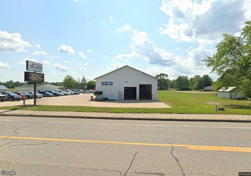
1305 N State St Big Rapids, MI 49307
Estimated Value: $421,300
--
Bed
--
Bath
--
Sq Ft
2.3
Acres
About This Home
This home is located at 1305 N State St, Big Rapids, MI 49307 and is currently estimated at $421,300. 1305 N State St is a home located in Mecosta County with nearby schools including Big Rapids High School, Crossroads Charter Academy Elementary School, and Crossroads Charter Academy Middle/High School.
Ownership History
Date
Name
Owned For
Owner Type
Purchase Details
Closed on
Jun 25, 2012
Sold by
Pease Wilbur W and Pease Cindy L
Bought by
L & M Johnson Properties Llc
Current Estimated Value
Home Financials for this Owner
Home Financials are based on the most recent Mortgage that was taken out on this home.
Original Mortgage
$160,574
Interest Rate
3.65%
Mortgage Type
Future Advance Clause Open End Mortgage
Purchase Details
Closed on
Sep 21, 2004
Sold by
Tioga Parrot Co
Bought by
Pease Wilbur W and Pease Cindy L
Home Financials for this Owner
Home Financials are based on the most recent Mortgage that was taken out on this home.
Original Mortgage
$181,000
Interest Rate
5.77%
Mortgage Type
Commercial
Create a Home Valuation Report for This Property
The Home Valuation Report is an in-depth analysis detailing your home's value as well as a comparison with similar homes in the area
Home Values in the Area
Average Home Value in this Area
Purchase History
| Date | Buyer | Sale Price | Title Company |
|---|---|---|---|
| L & M Johnson Properties Llc | -- | None Available | |
| Pease Wilbur W | $181,000 | Mecosta County Abstract & Ti |
Source: Public Records
Mortgage History
| Date | Status | Borrower | Loan Amount |
|---|---|---|---|
| Previous Owner | L & M Johnson Properties Llc | $160,574 | |
| Previous Owner | Pease Wilbur W | $181,000 |
Source: Public Records
Tax History Compared to Growth
Tax History
| Year | Tax Paid | Tax Assessment Tax Assessment Total Assessment is a certain percentage of the fair market value that is determined by local assessors to be the total taxable value of land and additions on the property. | Land | Improvement |
|---|---|---|---|---|
| 2025 | $6,548 | $177,100 | $0 | $0 |
| 2024 | -- | $172,600 | $0 | $0 |
| 2023 | -- | $169,400 | $0 | $0 |
| 2022 | $0 | $167,700 | $0 | $0 |
| 2021 | -- | $124,200 | $0 | $0 |
| 2020 | -- | -- | $0 | $0 |
| 2019 | -- | -- | $0 | $0 |
| 2018 | -- | -- | $0 | $0 |
| 2017 | -- | -- | $0 | $0 |
| 2016 | -- | -- | $0 | $0 |
Source: Public Records
Map
Nearby Homes
- 20600 Rolling Hills Ln
- 16659 Canyon Cove Unit 13
- 20836 Rolling Hills Ln
- 515 W Bridge St
- 16499 Mitchell Creek Trail
- 818 N State St
- 629 Rose Ave
- 226 Baldwin St
- 16327 Birch Top Ridge
- 1108 Platt Ave
- 16289 Birch Top Ridge Unit 40
- 20405 Mack Dr
- 16282 Mitchell Creek Trail
- 817 N 4th Ave
- 118 E Grand Traverse St
- 16377 Mitchell Creek Trail
- 513 Rose Ave
- 16345 Mitchell Creek Trail
- 722 Tioga Park Dr Unit 722
- 734 Unit 734 Tioga Park