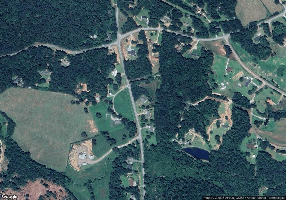
1305 Nub Garland Rd Toccoa, GA 30577
Estimated Value: $309,000 - $396,000
3
Beds
2
Baths
1,983
Sq Ft
$174/Sq Ft
Est. Value
About This Home
This home is located at 1305 Nub Garland Rd, Toccoa, GA 30577 and is currently estimated at $344,243, approximately $173 per square foot. 1305 Nub Garland Rd is a home with nearby schools including Stephens County High School.
Ownership History
Date
Name
Owned For
Owner Type
Purchase Details
Closed on
Nov 22, 2021
Sold by
Powell Christopher M
Bought by
Powell Keri T
Current Estimated Value
Purchase Details
Closed on
Dec 21, 2005
Sold by
Howe Gwennell
Bought by
Powell Christopher M and Powell Keri T
Home Financials for this Owner
Home Financials are based on the most recent Mortgage that was taken out on this home.
Original Mortgage
$157,000
Interest Rate
6.19%
Mortgage Type
New Conventional
Purchase Details
Closed on
Sep 23, 1999
Bought by
<Buyer Info Not Present>
Purchase Details
Closed on
Feb 2, 1999
Bought by
<Buyer Info Not Present>
Create a Home Valuation Report for This Property
The Home Valuation Report is an in-depth analysis detailing your home's value as well as a comparison with similar homes in the area
Home Values in the Area
Average Home Value in this Area
Purchase History
| Date | Buyer | Sale Price | Title Company |
|---|---|---|---|
| Powell Keri T | -- | -- | |
| Powell Christopher M | $157,000 | -- | |
| Powell Christopher M | $157,000 | -- | |
| <Buyer Info Not Present> | $105,000 | -- | |
| <Buyer Info Not Present> | $6,000 | -- |
Source: Public Records
Mortgage History
| Date | Status | Borrower | Loan Amount |
|---|---|---|---|
| Previous Owner | Powell Christopher M | $157,000 |
Source: Public Records
Tax History Compared to Growth
Tax History
| Year | Tax Paid | Tax Assessment Tax Assessment Total Assessment is a certain percentage of the fair market value that is determined by local assessors to be the total taxable value of land and additions on the property. | Land | Improvement |
|---|---|---|---|---|
| 2024 | $2,266 | $76,402 | $4,624 | $71,778 |
| 2023 | $2,069 | $71,508 | $4,624 | $66,884 |
| 2022 | $1,979 | $68,490 | $4,624 | $63,866 |
| 2021 | $2,042 | $67,302 | $4,624 | $62,678 |
| 2020 | $2,067 | $67,440 | $4,624 | $62,816 |
| 2019 | $2,062 | $67,020 | $4,204 | $62,816 |
| 2018 | $2,062 | $67,020 | $4,204 | $62,816 |
| 2017 | $2,094 | $67,020 | $4,204 | $62,816 |
| 2016 | $2,062 | $67,020 | $4,204 | $62,816 |
| 2015 | $2,205 | $68,384 | $2,544 | $65,840 |
| 2014 | $2,241 | $68,384 | $2,544 | $65,840 |
| 2013 | -- | $69,528 | $3,688 | $65,840 |
Source: Public Records
Map
Nearby Homes
- 571 N Currahee Ln
- 871 W Leatherwood Rd
- 939 W Leatherwood Rd
- 9369 Sherwood Ct
- 0 Highway 184 Unit 7606848
- 0 Highway 184 Unit 10547296
- 1662 Carnes Creek Rd
- 266 Cawthon Rd
- 424 Law House Rd
- 334 Brock Rd
- 184 Scott Cir
- 215 Old Mize Rd
- 54 Tabitha Page Ln
- 193 Tabitha Page Ln
- 5620 Mize Rd
- 1387 Mize Rd
- 495 Racetrack Rd
- 613 Racetrack Rd
- 561 Racetrack Rd
- 633 Racetrack Rd
- 1335 Nub Garland Rd
- 1235 Nub Garland Rd
- 1236 Nub Garland Rd
- 52 Bart Holcomb Rd
- 72 Bart Holcomb Rd
- 1212 Nub Garland Rd
- 1406 Nub Garland Rd
- 715 N Currahee Ln
- 619 N Currahee Ln
- 619 N Currahee Ln
- 0 Garland Rd and Mayes Rd Unit 3136857
- 1458 Nub Garland Rd
- 659 N Currahee Ln
- 82 Bart Holcomb Rd
- 1474 Nub Garland Rd
- 12 Preacher Savage Rd
- 1350 Nub Garland Rd
- 700 N Currahee Ln
- 590 N Currahee Ln
- 636 N Currahee Ln
