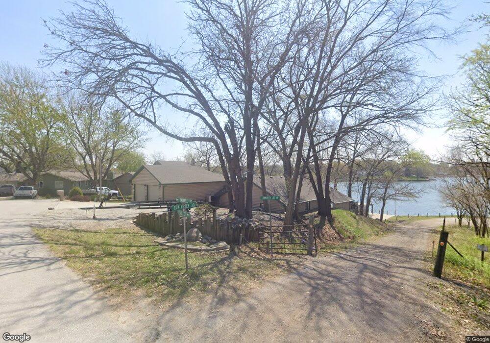
1305 Pawnee Point Plattsmouth, NE 68048
Estimated Value: $514,000 - $674,000
3
Beds
2
Baths
1,622
Sq Ft
$382/Sq Ft
Est. Value
About This Home
This home is located at 1305 Pawnee Point, Plattsmouth, NE 68048 and is currently estimated at $619,948, approximately $382 per square foot. 1305 Pawnee Point is a home located in Cass County with nearby schools including Conestoga Elementary School and Conestoga Junior/Senior High School.
Ownership History
Date
Name
Owned For
Owner Type
Purchase Details
Closed on
Apr 14, 2008
Sold by
Jrcr Llc
Bought by
Wortman Thomas G and Wortman Cecelia J
Current Estimated Value
Home Financials for this Owner
Home Financials are based on the most recent Mortgage that was taken out on this home.
Original Mortgage
$305,570
Interest Rate
6.11%
Mortgage Type
Purchase Money Mortgage
Purchase Details
Closed on
Mar 26, 2008
Sold by
Bogacz Frank C and Bogacz Patricia S
Bought by
Jrcr Llc
Home Financials for this Owner
Home Financials are based on the most recent Mortgage that was taken out on this home.
Original Mortgage
$305,570
Interest Rate
6.11%
Mortgage Type
Purchase Money Mortgage
Create a Home Valuation Report for This Property
The Home Valuation Report is an in-depth analysis detailing your home's value as well as a comparison with similar homes in the area
Home Values in the Area
Average Home Value in this Area
Purchase History
| Date | Buyer | Sale Price | Title Company |
|---|---|---|---|
| Wortman Thomas G | -- | -- | |
| Jrcr Llc | $210,000 | -- |
Source: Public Records
Mortgage History
| Date | Status | Borrower | Loan Amount |
|---|---|---|---|
| Closed | Wortman Thomas G | $305,570 |
Source: Public Records
Tax History Compared to Growth
Tax History
| Year | Tax Paid | Tax Assessment Tax Assessment Total Assessment is a certain percentage of the fair market value that is determined by local assessors to be the total taxable value of land and additions on the property. | Land | Improvement |
|---|---|---|---|---|
| 2024 | $6,981 | $583,230 | $248,400 | $334,830 |
| 2023 | $7,378 | $551,630 | $216,000 | $335,630 |
| 2022 | $7,619 | $530,839 | $226,800 | $304,039 |
| 2021 | $6,863 | $461,500 | $180,000 | $281,500 |
| 2020 | $6,154 | $401,360 | $167,400 | $233,960 |
| 2019 | $6,259 | $385,201 | $144,000 | $241,201 |
| 2018 | $6,156 | $385,201 | $144,000 | $241,201 |
| 2017 | $5,871 | $362,681 | $144,000 | $218,681 |
| 2016 | $5,786 | $373,483 | $144,000 | $229,483 |
| 2015 | $5,762 | $373,483 | $144,000 | $229,483 |
| 2014 | $6,661 | $373,483 | $144,000 | $229,483 |
Source: Public Records
Map
Nearby Homes
- 9811 Rock Creek Rd
- 1524 Trumball Terrace
- 914 Beaver Lake Blvd
- 1402 Elm Creek Rd
- 823 Beaver Lake Blvd
- 1715 Rock Bluff Rd
- 9315 Clubhouse Cir
- 9109 Murray Dr
- 9019 Bellvue Dr
- 1443 Koby Cir
- 9012 Murray Dr
- 903 Mead Ct
- 819 Mead Ct
- 9513 Monroe Rd
- 9212 Monroe Rd
- 9518 Sterling Cir
- 9202 Monroe Rd
- 8883 Verdon Cir
- LOT 4 620 Rock Bluff Rd
- 8887 Verdon Cir
- 1307 Pawnee Point
- 1311 Pawnee Point
- 9512 Rock Creek Rd
- 1306 Pawnee Point Unit PN
- 1310 Pawnee Point
- 9602 Rock Creek Rd
- 1211 Manley Ct
- 9607 Rock Creek Rd
- 1558 Trumball Terrace
- 10175 Otter Trail
- 9610 Rock Creek Rd
- 1207 Lake Ct
- 1560 Trumball Terrace
- 1562 Trumball Terrace
- 1556 Trumball Terrace
- 1203 Lake Ct
- 1564 Trumball Terrace
- 9612 Rock Creek Rd
- 1213 Manley Ct
- 1206 Lake Ct