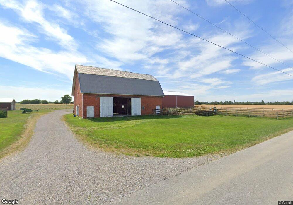
1305 Sands Rd Deshler, OH 43516
Estimated Value: $191,000 - $600,081
3
Beds
2
Baths
1,728
Sq Ft
$249/Sq Ft
Est. Value
About This Home
This home is located at 1305 Sands Rd, Deshler, OH 43516 and is currently estimated at $431,027, approximately $249 per square foot. 1305 Sands Rd is a home located in Wood County with nearby schools including McComb Elementary School, McComb Middle School, and Mccomb Local High School.
Ownership History
Date
Name
Owned For
Owner Type
Purchase Details
Closed on
Oct 16, 2001
Sold by
Richard Marjorie
Bought by
Roy Harold R and Roy Linda J
Current Estimated Value
Home Financials for this Owner
Home Financials are based on the most recent Mortgage that was taken out on this home.
Original Mortgage
$69,228
Interest Rate
6.8%
Mortgage Type
Purchase Money Mortgage
Purchase Details
Closed on
Dec 27, 1994
Sold by
Decker Anita M
Bought by
Richard Lester D and Richard Marjorie A
Purchase Details
Closed on
Feb 7, 1992
Bought by
Decker Anita M 2 and Decker 6
Create a Home Valuation Report for This Property
The Home Valuation Report is an in-depth analysis detailing your home's value as well as a comparison with similar homes in the area
Purchase History
| Date | Buyer | Sale Price | Title Company |
|---|---|---|---|
| Roy Harold R | $45,600 | Sky Title Insurance Agency L | |
| Roy Harold R | $45,502 | Sky Title Insurance Agency L | |
| Richard Lester D | $20,000 | -- | |
| Decker Anita M 2 | $20,000 | -- |
Source: Public Records
Mortgage History
| Date | Status | Borrower | Loan Amount |
|---|---|---|---|
| Previous Owner | Roy Harold R | $69,228 |
Source: Public Records
Tax History
| Year | Tax Paid | Tax Assessment Tax Assessment Total Assessment is a certain percentage of the fair market value that is determined by local assessors to be the total taxable value of land and additions on the property. | Land | Improvement |
|---|---|---|---|---|
| 2025 | $4,605 | $217,070 | $156,520 | $60,550 |
| 2024 | $4,462 | $217,070 | $156,520 | $60,550 |
| 2023 | $4,462 | $217,070 | $156,520 | $60,550 |
| 2021 | $3,315 | $184,460 | $135,070 | $49,390 |
| 2020 | $3,343 | $184,460 | $135,070 | $49,390 |
| 2019 | $3,928 | $154,360 | $109,450 | $44,910 |
| 2018 | $3,876 | $154,360 | $109,450 | $44,910 |
| 2017 | $4,096 | $154,360 | $109,450 | $44,910 |
| 2016 | $4,102 | $129,650 | $83,060 | $46,590 |
| 2015 | $4,102 | $129,650 | $83,060 | $46,590 |
| 2014 | $4,295 | $129,650 | $83,060 | $46,590 |
| 2013 | $3,220 | $106,050 | $63,700 | $42,350 |
Source: Public Records
Map
Nearby Homes
- 2970 Otsego Pike
- 0 Deshler Rd
- 0 Hockenberry Rd
- 4134 County Road 203
- 24642 Hammansburg Rd
- 223 Cherry St
- 524 E Elm St
- 257 S Main St
- 423 S Stearns Ave
- 0 Joshua Rd Unit 6126475
- 4609 Township Road 235
- 126 S Keyser Ave
- 405 N Keyser Ave
- 224 S Keyser Ave
- 429 N Park St
- 106 N Harvest Dr
- 1128 County Road 139
- 117 Meadow Ln
- 115 Meadow Ln
- 113 N Meadow Ln
Your Personal Tour Guide
Ask me questions while you tour the home.