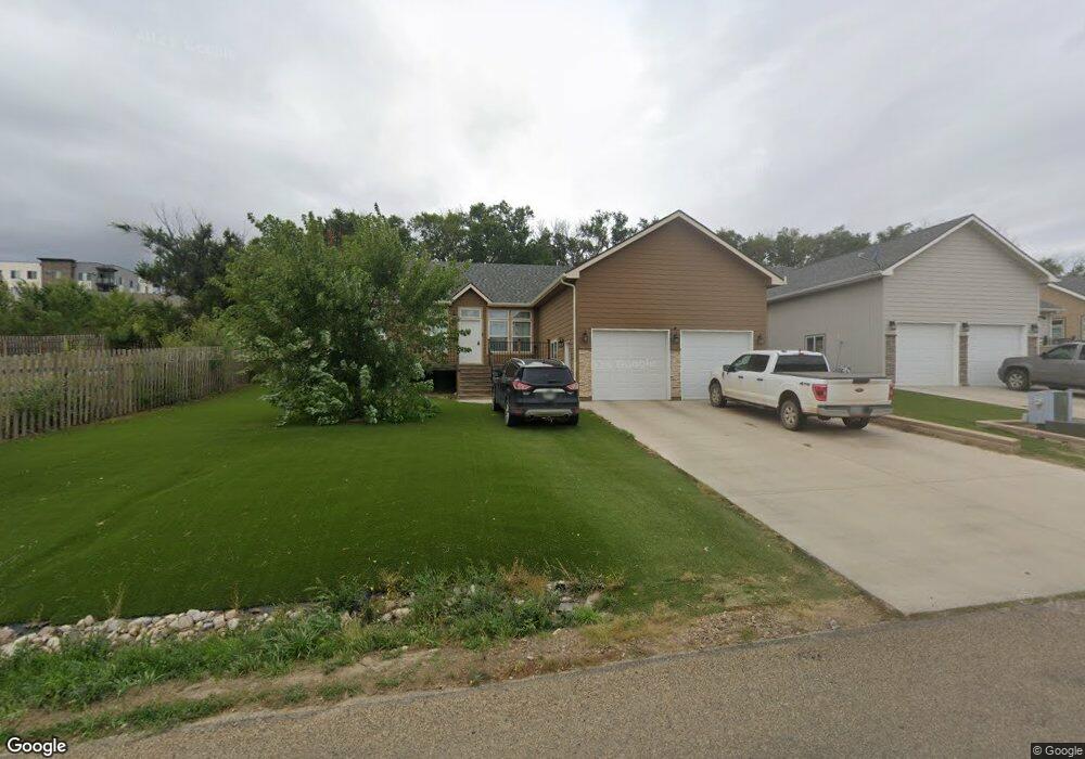
1305 W Pheasant Ridge Dr Watford City, ND 58854
Estimated Value: $399,411 - $484,000
--
Bed
--
Bath
--
Sq Ft
9,932
Sq Ft Lot
About This Home
This home is located at 1305 W Pheasant Ridge Dr, Watford City, ND 58854 and is currently estimated at $440,853. 1305 W Pheasant Ridge Dr is a home with nearby schools including Badlands Elementary School and Watford City High School.
Ownership History
Date
Name
Owned For
Owner Type
Purchase Details
Closed on
Aug 27, 2020
Sold by
Thacker Gary L
Bought by
Faith Derek H
Current Estimated Value
Home Financials for this Owner
Home Financials are based on the most recent Mortgage that was taken out on this home.
Original Mortgage
$326,529
Outstanding Balance
$289,773
Interest Rate
2.9%
Mortgage Type
Construction
Estimated Equity
$151,080
Purchase Details
Closed on
Nov 20, 2015
Sold by
Tc North Dakota Ventures Llc
Bought by
Thacker Gary L and Bergman Karrie J
Create a Home Valuation Report for This Property
The Home Valuation Report is an in-depth analysis detailing your home's value as well as a comparison with similar homes in the area
Home Values in the Area
Average Home Value in this Area
Purchase History
| Date | Buyer | Sale Price | Title Company |
|---|---|---|---|
| Faith Derek H | $315,500 | North Dakota Guaranty & Title | |
| Thacker Gary L | $229,380 | -- |
Source: Public Records
Mortgage History
| Date | Status | Borrower | Loan Amount |
|---|---|---|---|
| Open | Faith Derek H | $326,529 |
Source: Public Records
Tax History Compared to Growth
Tax History
| Year | Tax Paid | Tax Assessment Tax Assessment Total Assessment is a certain percentage of the fair market value that is determined by local assessors to be the total taxable value of land and additions on the property. | Land | Improvement |
|---|---|---|---|---|
| 2024 | $2,501 | $176,345 | $34,800 | $141,545 |
| 2023 | $2,720 | $162,125 | $34,800 | $127,325 |
| 2022 | $2,685 | $162,125 | $34,800 | $127,325 |
| 2021 | $2,486 | $151,650 | $34,800 | $116,850 |
| 2020 | $2,400 | $151,650 | $34,800 | $116,850 |
| 2019 | $2,205 | $139,930 | $27,475 | $112,455 |
| 2018 | $1,984 | $134,305 | $27,475 | $106,830 |
| 2017 | $1,853 | $131,050 | $27,475 | $103,575 |
| 2016 | $1,867 | $128,885 | $29,790 | $99,095 |
| 2015 | $370 | $0 | $0 | $0 |
| 2014 | $332 | $16,590 | $16,590 | $0 |
| 2013 | $281 | $0 | $0 | $0 |
Source: Public Records
Map
Nearby Homes
- Lot 19 S Pheasant Ridge St
- Lot 17 S Pheasant Ridge St
- Lot 15 S Pheasant Ridge St
- 0 S Pheasant Ridge St
- 1604 E Pheasant Ridge St
- 205 7th Ave NE
- 215 7th Ave NE
- 117 7th Ave NW
- 608 6th St NE
- 608 6th Ave NE
- 512 5th St NE
- 505 2nd St NE
- 408 4th St NW
- 0 2nd St NW
- 509 2nd St NW
- 328 5th St NE
- Tbd 6th St NE
- 309 3rd St NE
- 400 4th Ave NW
- 225 7th St NE
- 1305 W Pheasant Ridge St
- 1309 W Pheasant Ridge St
- 1309 W Plesant Ridge
- 1313 W Pheasant Ridge Dr
- 1304 W Pheasant Ridge Dr
- 1308 W Pheasant Ridge Dr
- 1312 W Pheasant Ridge St
- 1312 W Pheasant Ridge Dr
- 1321 W Pheasant Ridge Dr
- 1316 W Pheasant Ridge St
- 1305 E Pheasant Ridge Dr
- 1309 E Pheasant Ridge St
- 1320 W Pheasant Ridge St
- 1320 W Pheasant Ridge Dr
- 1121 S Pheasant Ridge St
- 1313 E Pheasant Ridge St
- 1406 N Main St
- 1317 E Pheasant Ridge St
- 1317 E Pheasant Ridge Dr
- 1324 W Pheasant Ridge Dr