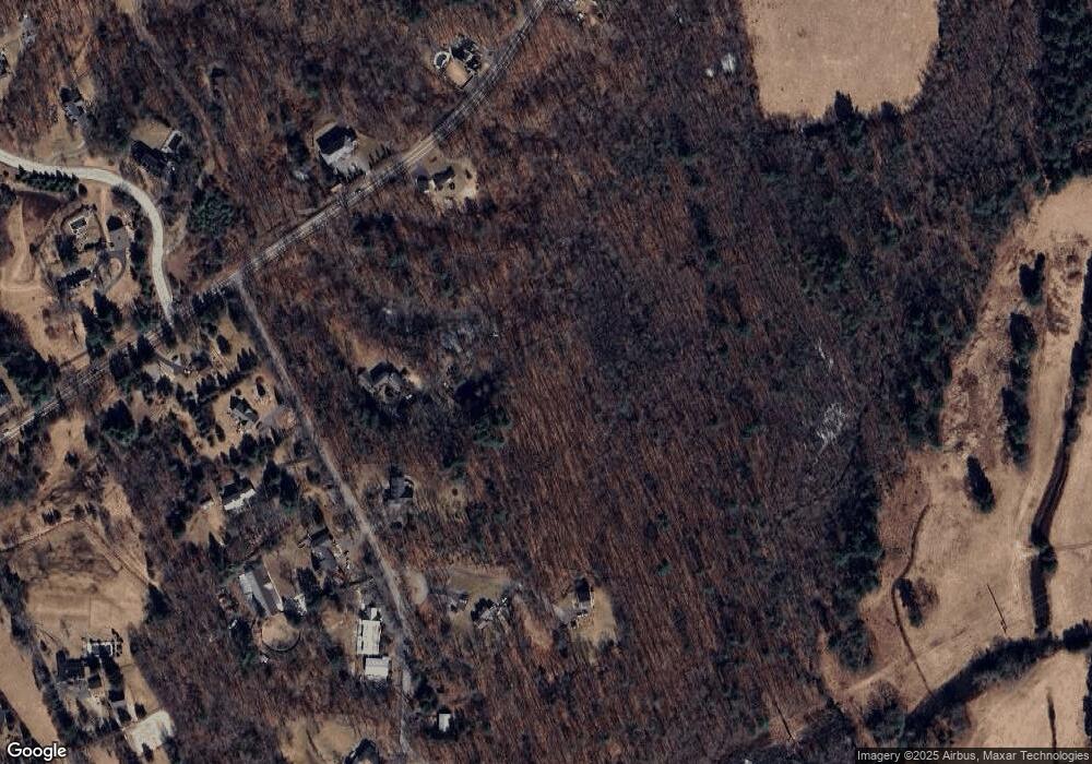
1305 West St Wrentham, MA 02093
West Wrentham NeighborhoodEstimated Value: $1,162,000 - $1,809,000
4
Beds
5
Baths
5,698
Sq Ft
$258/Sq Ft
Est. Value
About This Home
This home is located at 1305 West St, Wrentham, MA 02093 and is currently estimated at $1,472,232, approximately $258 per square foot. 1305 West St is a home located in Norfolk County with nearby schools including Delaney Elementary School, Charles E Roderick, and Mercymount Country Day School.
Ownership History
Date
Name
Owned For
Owner Type
Purchase Details
Closed on
May 12, 2023
Sold by
Dickinson Spencer L and Lepoer Krysia L
Bought by
Krysia Lynn Lepoer Ret
Current Estimated Value
Purchase Details
Closed on
Dec 7, 2010
Sold by
Bank Of New York Mello
Bought by
Lepoer Krysia L and Dickinson Spencer L
Home Financials for this Owner
Home Financials are based on the most recent Mortgage that was taken out on this home.
Original Mortgage
$528,987
Interest Rate
4.75%
Mortgage Type
FHA
Purchase Details
Closed on
Mar 17, 2010
Sold by
Gordon Earlene M
Bought by
Bank Of New York Mello
Create a Home Valuation Report for This Property
The Home Valuation Report is an in-depth analysis detailing your home's value as well as a comparison with similar homes in the area
Home Values in the Area
Average Home Value in this Area
Purchase History
| Date | Buyer | Sale Price | Title Company |
|---|---|---|---|
| Krysia Lynn Lepoer Ret | -- | None Available | |
| Lepoer Krysia L | $485,000 | -- | |
| Bank Of New York Mello | $594,065 | -- |
Source: Public Records
Mortgage History
| Date | Status | Borrower | Loan Amount |
|---|---|---|---|
| Previous Owner | Lepoer Krysia L | $528,987 |
Source: Public Records
Tax History Compared to Growth
Tax History
| Year | Tax Paid | Tax Assessment Tax Assessment Total Assessment is a certain percentage of the fair market value that is determined by local assessors to be the total taxable value of land and additions on the property. | Land | Improvement |
|---|---|---|---|---|
| 2025 | $15,991 | $1,379,700 | $405,600 | $974,100 |
| 2024 | $14,903 | $1,241,900 | $405,600 | $836,300 |
| 2023 | $14,368 | $1,138,500 | $379,500 | $759,000 |
| 2022 | $14,374 | $1,051,500 | $372,700 | $678,800 |
| 2021 | $13,967 | $992,700 | $356,000 | $636,700 |
| 2020 | $15,115 | $1,060,700 | $377,600 | $683,100 |
| 2019 | $14,383 | $1,018,600 | $359,400 | $659,200 |
| 2018 | $14,196 | $996,900 | $342,200 | $654,700 |
| 2017 | $13,811 | $969,200 | $335,800 | $633,400 |
| 2016 | $13,535 | $947,800 | $325,800 | $622,000 |
| 2015 | $13,755 | $918,200 | $339,400 | $578,800 |
| 2014 | $13,640 | $890,900 | $326,700 | $564,200 |
Source: Public Records
Map
Nearby Homes
