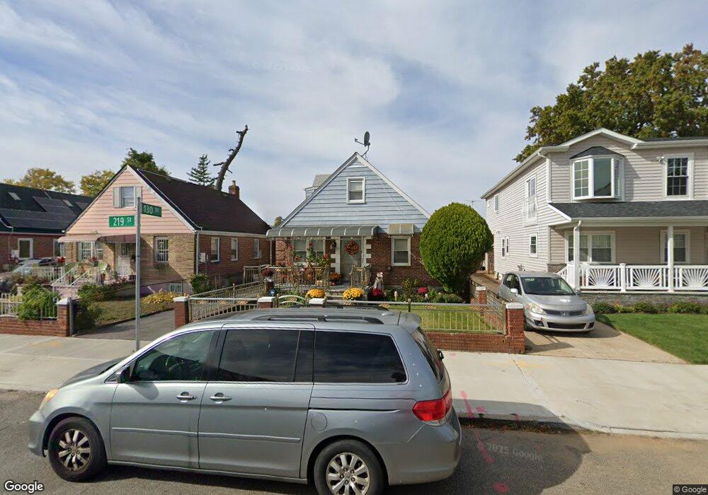
13050 219th St Springfield Gardens, NY 11413
Laurelton NeighborhoodEstimated Value: $672,000 - $766,947
--
Bed
--
Bath
1,125
Sq Ft
$655/Sq Ft
Est. Value
About This Home
This home is located at 13050 219th St, Springfield Gardens, NY 11413 and is currently estimated at $736,737, approximately $654 per square foot. 13050 219th St is a home located in Queens County with nearby schools including P.S. 132 - Ralph Bunche, Is 59 Springfield Gardens, and Success Academy Springfield Gardens.
Ownership History
Date
Name
Owned For
Owner Type
Purchase Details
Closed on
Jul 6, 2012
Sold by
Ikezi Stanley
Bought by
Johnson Kayon
Current Estimated Value
Home Financials for this Owner
Home Financials are based on the most recent Mortgage that was taken out on this home.
Original Mortgage
$392,755
Outstanding Balance
$271,498
Interest Rate
3.7%
Mortgage Type
New Conventional
Estimated Equity
$465,239
Purchase Details
Closed on
Mar 19, 2012
Sold by
Cherry Robert Earl
Bought by
Ikezi Stanley
Purchase Details
Closed on
Nov 28, 2006
Sold by
Boykin Mcguire T
Bought by
Cherry Robert Earl
Home Financials for this Owner
Home Financials are based on the most recent Mortgage that was taken out on this home.
Original Mortgage
$398,400
Interest Rate
6.4%
Mortgage Type
Purchase Money Mortgage
Create a Home Valuation Report for This Property
The Home Valuation Report is an in-depth analysis detailing your home's value as well as a comparison with similar homes in the area
Home Values in the Area
Average Home Value in this Area
Purchase History
| Date | Buyer | Sale Price | Title Company |
|---|---|---|---|
| Johnson Kayon | $400,000 | -- | |
| Ikezi Stanley | $230,000 | -- | |
| Cherry Robert Earl | $498,000 | -- |
Source: Public Records
Mortgage History
| Date | Status | Borrower | Loan Amount |
|---|---|---|---|
| Open | Johnson Kayon | $392,755 | |
| Previous Owner | Cherry Robert Earl | $398,400 |
Source: Public Records
Tax History Compared to Growth
Tax History
| Year | Tax Paid | Tax Assessment Tax Assessment Total Assessment is a certain percentage of the fair market value that is determined by local assessors to be the total taxable value of land and additions on the property. | Land | Improvement |
|---|---|---|---|---|
| 2025 | $6,577 | $33,200 | $9,301 | $23,899 |
| 2024 | $6,577 | $32,746 | $10,276 | $22,470 |
| 2023 | $6,237 | $31,054 | $9,849 | $21,205 |
| 2022 | $5,881 | $37,560 | $12,540 | $25,020 |
| 2021 | $5,864 | $31,140 | $12,540 | $18,600 |
| 2020 | $5,856 | $30,720 | $12,540 | $18,180 |
| 2019 | $5,708 | $29,400 | $12,540 | $16,860 |
| 2018 | $5,275 | $25,878 | $12,405 | $13,473 |
| 2017 | $5,004 | $24,549 | $12,187 | $12,362 |
| 2016 | $4,642 | $24,549 | $12,187 | $12,362 |
| 2015 | $2,793 | $23,056 | $11,756 | $11,300 |
| 2014 | $2,793 | $22,740 | $13,920 | $8,820 |
Source: Public Records
Map
Nearby Homes
- 130-25 217th St
- 21827 130th Ave
- 13049 217th St
- 21924 130th Dr
- 130-45 220th St
- 13024 Springfield Blvd
- 22014 130th Ave
- 22014 130th Ave
- 122-52 Springfield Blvd
- 19332 Williamson Ave
- 21917 132nd Rd
- 130-55 222nd St
- 194-01 Nashville Blvd
- 19401 Nashville Blvd
- 192-17 Williamson Ave
- 21931 133rd Ave
- 121-17 196th St
- 121-16 198th St
- 19115 Williamson Ave
- 131-35 222nd St
- 130-50 219th St
- 13054 219th St
- 13046 219th St
- 130-42 219th St
- 13058 219th St
- 13042 219th St
- 13047 218th St
- 13043 218th St
- 13051 218th St
- 219-04 130th Dr
- 13038 219th St
- 219-08 130th Dr
- 13039 218th St
- 13055 218th St
- 130-55 218th St
- 130-55 218th St Unit 2
- 21904 130th Dr
- 21904 130th Dr
- 21905 130th Dr
- 21815 131st Ave