13050 S Freeman Rd Mulino, OR 97042
Estimated Value: $660,432 - $858,000
--
Bed
--
Bath
1,976
Sq Ft
$378/Sq Ft
Est. Value
About This Home
This home is located at 13050 S Freeman Rd, Mulino, OR 97042 and is currently estimated at $747,108, approximately $378 per square foot. 13050 S Freeman Rd is a home located in Clackamas County.
Ownership History
Date
Name
Owned For
Owner Type
Purchase Details
Closed on
Dec 16, 2005
Sold by
Jaffe Linda R
Bought by
James Cheryl A and Hanson Tava J
Current Estimated Value
Home Financials for this Owner
Home Financials are based on the most recent Mortgage that was taken out on this home.
Original Mortgage
$175,000
Outstanding Balance
$97,461
Interest Rate
6.31%
Mortgage Type
Fannie Mae Freddie Mac
Estimated Equity
$649,647
Purchase Details
Closed on
May 22, 1997
Sold by
Teshera Veronica and Teshera Joseph
Bought by
Jaffe Linda R
Home Financials for this Owner
Home Financials are based on the most recent Mortgage that was taken out on this home.
Original Mortgage
$196,000
Interest Rate
7.75%
Create a Home Valuation Report for This Property
The Home Valuation Report is an in-depth analysis detailing your home's value as well as a comparison with similar homes in the area
Home Values in the Area
Average Home Value in this Area
Purchase History
| Date | Buyer | Sale Price | Title Company |
|---|---|---|---|
| James Cheryl A | $400,000 | Pacific Nw Title | |
| Jaffe Linda R | $245,000 | Stewart Title |
Source: Public Records
Mortgage History
| Date | Status | Borrower | Loan Amount |
|---|---|---|---|
| Open | James Cheryl A | $175,000 | |
| Previous Owner | Jaffe Linda R | $196,000 |
Source: Public Records
Tax History Compared to Growth
Tax History
| Year | Tax Paid | Tax Assessment Tax Assessment Total Assessment is a certain percentage of the fair market value that is determined by local assessors to be the total taxable value of land and additions on the property. | Land | Improvement |
|---|---|---|---|---|
| 2025 | $4,918 | $363,475 | -- | -- |
| 2024 | $4,760 | $352,889 | -- | -- |
| 2023 | $4,760 | $342,611 | $0 | $0 |
| 2022 | $3,975 | $332,633 | $0 | $0 |
| 2021 | $3,793 | $322,945 | $0 | $0 |
| 2020 | $3,689 | $313,539 | $0 | $0 |
| 2019 | $3,582 | $304,407 | $0 | $0 |
| 2018 | $3,484 | $295,541 | $0 | $0 |
| 2017 | $3,289 | $286,933 | $0 | $0 |
| 2016 | $3,085 | $278,576 | $0 | $0 |
| 2015 | $2,931 | $270,462 | $0 | $0 |
| 2014 | $2,759 | $262,584 | $0 | $0 |
Source: Public Records
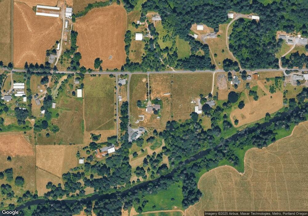
Map
Nearby Homes
- 13511 S Freeman Rd
- 26684 S Fish Rd
- 26740 S Fish Rd
- 12192 S Mulino Rd
- 26250 S Milk Creek Cir
- 13920 S Lucia Ln
- 0 S Ranch Hills Rd
- 24450 S Highway 213
- 14980 S Buckner Creek Rd
- 0 S MacKsburg Rd
- 12051 S Riggs Damm Rd
- 14001 S Union Mills Rd
- 11600 S Emerson Rd
- 28502 S Highway 213
- 28502 Oregon 213
- 15693 S Hidden Rd
- 11800 S Carus Rd
- 24843 S Blundell Rd
- 12403 S Eby Rd
- 12720 S Carus Rd
- 13010 S Freeman Rd
- 13030 S Freeman Rd
- 13051 S Freeman Rd
- 12924 S Freeman Rd
- 13006 S Freeman Rd
- 13190 S Freeman Rd
- 13163 S Freeman Rd
- 12860 S Freeman Rd
- 13165 S Freeman Rd
- 12869 S Freeman Rd
- 12802 S Freeman Rd
- 13340 S Freeman Rd
- 13114 S Cliffside Dr
- 13080 S Cliffside Dr
- 13226 S Cliffside Dr
- 12989 S Mulino Rd
- 13287 S Freeman Rd
- 12762 S Freeman Rd
- 13356 S Freeman Rd
- 13356 S Freeman Rd