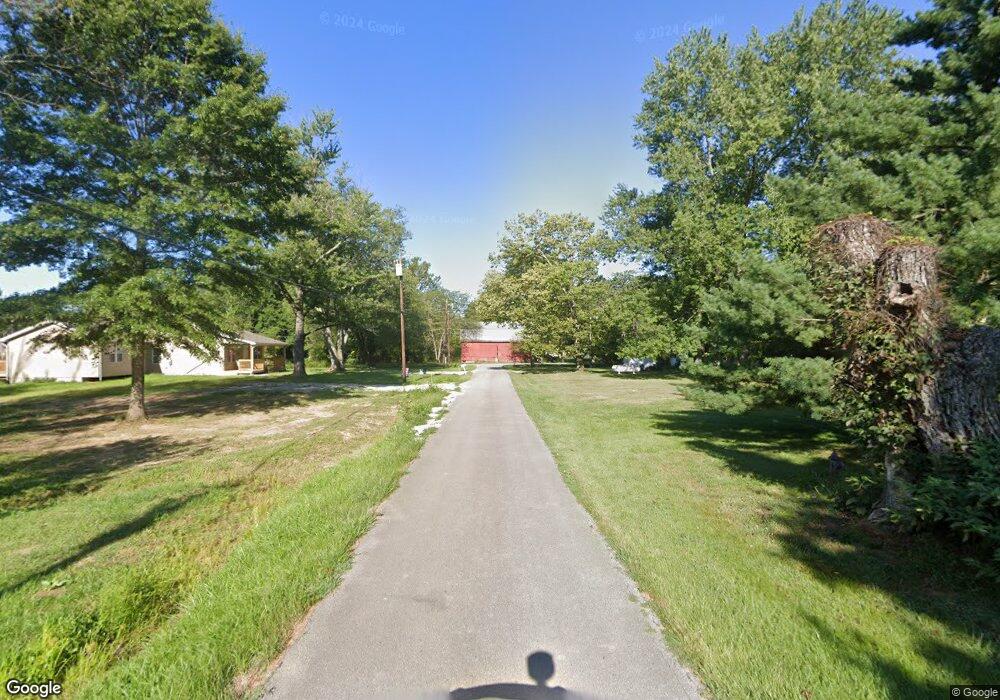
13055 Locust Ridge New Harm Rd Williamsburg, OH 45176
Estimated Value: $317,962 - $476,000
3
Beds
2
Baths
1,956
Sq Ft
$194/Sq Ft
Est. Value
About This Home
This home is located at 13055 Locust Ridge New Harm Rd, Williamsburg, OH 45176 and is currently estimated at $378,491, approximately $193 per square foot. 13055 Locust Ridge New Harm Rd is a home located in Brown County with nearby schools including Western Brown High School.
Ownership History
Date
Name
Owned For
Owner Type
Purchase Details
Closed on
May 29, 2020
Sold by
Lawson Claude and Lawson Jamie A
Bought by
Henry Robert L and Bennett Angela R
Current Estimated Value
Home Financials for this Owner
Home Financials are based on the most recent Mortgage that was taken out on this home.
Original Mortgage
$302,100
Outstanding Balance
$267,789
Interest Rate
3.2%
Mortgage Type
New Conventional
Estimated Equity
$110,702
Purchase Details
Closed on
Sep 28, 2012
Sold by
Lawson Rj Claude and Lawson Jamie A
Bought by
Lawson Claude and Lawson Jamie A
Purchase Details
Closed on
Jul 18, 2006
Sold by
Roark Ernest and Roark Theresa
Bought by
Lawson Claude
Create a Home Valuation Report for This Property
The Home Valuation Report is an in-depth analysis detailing your home's value as well as a comparison with similar homes in the area
Home Values in the Area
Average Home Value in this Area
Purchase History
| Date | Buyer | Sale Price | Title Company |
|---|---|---|---|
| Henry Robert L | $318,000 | American Homeland Title Agcy | |
| Lawson Claude | -- | Attorney | |
| Lawson Claude | $3,500 | None Available |
Source: Public Records
Mortgage History
| Date | Status | Borrower | Loan Amount |
|---|---|---|---|
| Open | Henry Robert L | $302,100 |
Source: Public Records
Tax History Compared to Growth
Tax History
| Year | Tax Paid | Tax Assessment Tax Assessment Total Assessment is a certain percentage of the fair market value that is determined by local assessors to be the total taxable value of land and additions on the property. | Land | Improvement |
|---|---|---|---|---|
| 2024 | $2,274 | $78,540 | $13,880 | $64,660 |
| 2023 | $2,274 | $60,760 | $10,010 | $50,750 |
| 2022 | $1,813 | $60,760 | $10,010 | $50,750 |
| 2021 | $1,792 | $60,760 | $10,010 | $50,750 |
| 2020 | $1,547 | $50,630 | $8,340 | $42,290 |
| 2019 | $1,664 | $50,630 | $8,340 | $42,290 |
| 2018 | $1,651 | $50,630 | $8,340 | $42,290 |
| 2017 | $1,335 | $40,530 | $8,340 | $32,190 |
| 2016 | $1,335 | $40,530 | $8,340 | $32,190 |
| 2015 | $1,320 | $40,530 | $8,340 | $32,190 |
| 2014 | $1,320 | $39,770 | $7,580 | $32,190 |
| 2013 | $1,317 | $39,770 | $7,580 | $32,190 |
Source: Public Records
Map
Nearby Homes
- 12570 Liming van Thompson Rd
- 3644 Deer Trace
- 3722 Coon Ave
- 3631 Bass Rd
- 0 Deer Trace Rd
- 3685 Happy Hollow Rd
- 3750 Starling Rd
- 3614 Bootjack Corner Rd
- 11818 Cloverlick Rd
- 11475 Colthar Rd
- B Spring Grove Rd
- A Spring Grove Rd
- 1993 Old State Rd
- 3690 Todds Run Foster Rd
- 133 Kelly Dr
- 0 Colthar Rd Unit 1822757
- 101 Julian Ln
- 3555 Davis Farms Ln
- 3492 Starling Rd
- 2437 Tri County Hwy
- 13055 Locust Ridge New Harmony Rd
- 12984 Locust Ridge New Harm Rd
- 12984 Locust Ridge New Harm Rd
- 13130 Locust Ridge New Harmony Rd
- 1631 Kress Rd
- 12950 Locust Ridge New Harm Rd Unit 12952
- 12950 Locust Ridge New Harm Rd
- 12966 Locust Ridge New Harm Rd
- 12966 Locust Ridge New Harm Rd Unit 12952
- 1575 Kress Rd
- 1563 Kress Rd
- 1607 Kress Rd
- 1621 Kress Rd
- 1663 Kress Rd
- 1566 Kress Rd
- 1550 Kress Rd
- 1641 Kress Rd
- 12886 Locust Ridge New Harmony Rd
- 12886 Locust Ridge New Harm Rd
- 1650 Kress Rd