Estimated Value: $325,000 - $424,000
3
Beds
3
Baths
1,692
Sq Ft
$225/Sq Ft
Est. Value
About This Home
This home is located at 13056 Grant Cir, Clio, MI 48420 and is currently estimated at $380,336, approximately $224 per square foot. 13056 Grant Cir is a home located in Genesee County with nearby schools including George R. Carter Middle School and Clio Area High School.
Ownership History
Date
Name
Owned For
Owner Type
Purchase Details
Closed on
Oct 16, 2019
Sold by
Backstrom Jack and Backstrom Ellyn
Bought by
Backstrom Jack and Backstrom Ellyn
Current Estimated Value
Purchase Details
Closed on
Jun 29, 2007
Sold by
Climie Robert L and Climie Theresa M
Bought by
Backstrom Ellyn and Backstrom Jack
Purchase Details
Closed on
Jan 3, 2006
Sold by
Lovegrove Construction Llc
Bought by
Climie Robert L and Climie Theresa M
Home Financials for this Owner
Home Financials are based on the most recent Mortgage that was taken out on this home.
Original Mortgage
$80,000
Interest Rate
6.34%
Mortgage Type
Fannie Mae Freddie Mac
Create a Home Valuation Report for This Property
The Home Valuation Report is an in-depth analysis detailing your home's value as well as a comparison with similar homes in the area
Home Values in the Area
Average Home Value in this Area
Purchase History
| Date | Buyer | Sale Price | Title Company |
|---|---|---|---|
| Backstrom Jack | -- | None Available | |
| Backstrom Ellyn | $225,000 | Metropolitan Title Company | |
| Climie Robert L | $239,900 | Cislo Title Co | |
| Lovegrove Construction Llc | -- | Cislo Title Co |
Source: Public Records
Mortgage History
| Date | Status | Borrower | Loan Amount |
|---|---|---|---|
| Previous Owner | Climie Robert L | $80,000 |
Source: Public Records
Tax History Compared to Growth
Tax History
| Year | Tax Paid | Tax Assessment Tax Assessment Total Assessment is a certain percentage of the fair market value that is determined by local assessors to be the total taxable value of land and additions on the property. | Land | Improvement |
|---|---|---|---|---|
| 2025 | $3,509 | $156,500 | $0 | $0 |
| 2024 | $1,473 | $148,800 | $0 | $0 |
| 2023 | $1,405 | $122,500 | $0 | $0 |
| 2022 | $3,092 | $117,800 | $0 | $0 |
| 2021 | $3,053 | $110,300 | $0 | $0 |
| 2020 | $1,286 | $104,700 | $0 | $0 |
| 2019 | $1,173 | $96,700 | $0 | $0 |
| 2018 | $2,624 | $91,100 | $0 | $0 |
| 2017 | $2,499 | $91,100 | $0 | $0 |
| 2016 | $2,475 | $91,500 | $0 | $0 |
| 2015 | $2,475 | $90,000 | $0 | $0 |
| 2012 | -- | $73,700 | $73,700 | $0 |
Source: Public Records
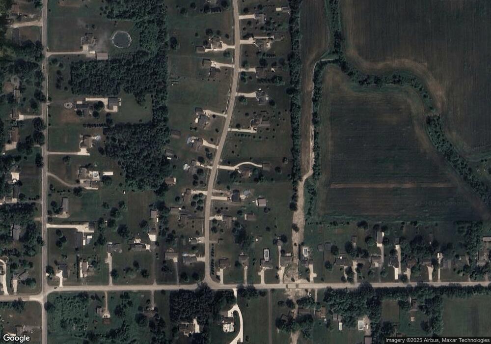
Map
Nearby Homes
- 12409 Elms Rd
- 13060 Country Club Dr
- 7434 W Farrand Rd
- 5212 W Farrand Rd
- 12046 Morrish Rd
- 5171 Field Rd
- V/L Morrish Rd
- 5218 W Vienna Rd
- 5217 Old Barn Ln
- 13136 N Linden Rd
- 6338 Willard Rd
- 11107 N Elms Rd
- Lot D N Linden Rd
- V/L Field Rd
- 11290 N Linden Rd
- 14519 N Linden Rd
- 00 W Vienna Rd
- 4042 W Farrand Rd
- 10241 N Mckinley Rd
- 0 W Wilson Rd Unit 50180050
- 13048 Grant Cir
- 13072 Grant Cir
- 13064 Grant Cir
- 13040 Grant Cir
- 13057 Grant Cir
- 13065 Grant Cir
- 13080 Grant Cir
- 6402 W Farrand Rd
- 13049 Grant Cir
- 13073 Grant Cir
- 6412 W Farrand Rd
- 6424 W Farrand Rd
- 6434 W Farrand Rd
- 13041 Grant Cir
- 6378 W Farrand Rd
- 13081 Grant Cir
- 13088 Grant Cir
- 6354 W Farrand Rd
- 6454 W Farrand Rd
- 6480 W Farrand Rd