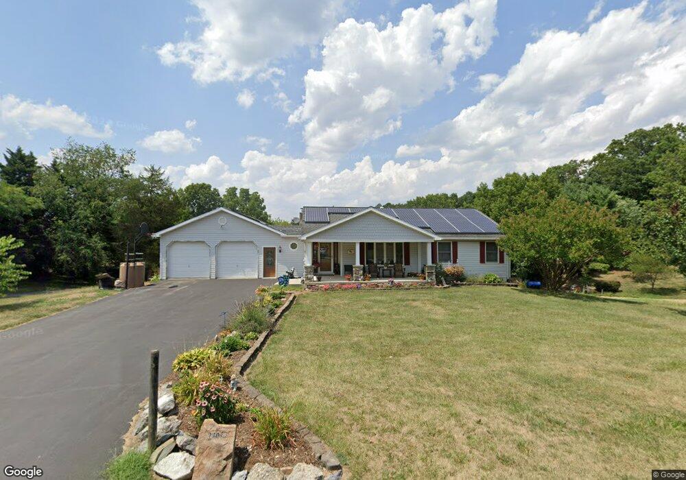
13057 Independence Rd Clear Spring, MD 21722
Estimated Value: $365,028 - $691,000
--
Bed
2
Baths
1,588
Sq Ft
$306/Sq Ft
Est. Value
About This Home
This home is located at 13057 Independence Rd, Clear Spring, MD 21722 and is currently estimated at $486,007, approximately $306 per square foot. 13057 Independence Rd is a home located in Washington County with nearby schools including Clear Spring Elementary School, Clear Spring Middle School, and Clear Spring High School.
Ownership History
Date
Name
Owned For
Owner Type
Purchase Details
Closed on
Apr 24, 1990
Sold by
Sylvester Roy A and Sylvester Patsy A
Bought by
Mumma Robert M and Mumma Lisa K
Current Estimated Value
Home Financials for this Owner
Home Financials are based on the most recent Mortgage that was taken out on this home.
Original Mortgage
$17,500
Interest Rate
10.41%
Purchase Details
Closed on
Nov 13, 1989
Sold by
Kieffer Theda K
Bought by
Sylvester Roy A and Sylvester Patsy A
Create a Home Valuation Report for This Property
The Home Valuation Report is an in-depth analysis detailing your home's value as well as a comparison with similar homes in the area
Home Values in the Area
Average Home Value in this Area
Purchase History
| Date | Buyer | Sale Price | Title Company |
|---|---|---|---|
| Mumma Robert M | $24,000 | -- | |
| Sylvester Roy A | $42,500 | -- |
Source: Public Records
Mortgage History
| Date | Status | Borrower | Loan Amount |
|---|---|---|---|
| Closed | Mumma Robert M | $17,500 |
Source: Public Records
Tax History Compared to Growth
Tax History
| Year | Tax Paid | Tax Assessment Tax Assessment Total Assessment is a certain percentage of the fair market value that is determined by local assessors to be the total taxable value of land and additions on the property. | Land | Improvement |
|---|---|---|---|---|
| 2025 | $3,299 | $350,933 | $0 | $0 |
| 2024 | $3,299 | $312,867 | $0 | $0 |
| 2023 | $2,905 | $274,800 | $56,400 | $218,400 |
| 2022 | $2,599 | $245,267 | $0 | $0 |
| 2021 | $2,025 | $215,733 | $0 | $0 |
| 2020 | $2,025 | $186,200 | $56,400 | $129,800 |
| 2019 | $2,034 | $186,200 | $56,400 | $129,800 |
| 2018 | $2,034 | $186,200 | $56,400 | $129,800 |
| 2017 | $2,165 | $198,600 | $0 | $0 |
| 2016 | -- | $198,533 | $0 | $0 |
| 2015 | -- | $198,467 | $0 | $0 |
| 2014 | $2,407 | $198,400 | $0 | $0 |
Source: Public Records
Map
Nearby Homes
- 12810 Kending Ln
- 13634 Cresspond Rd
- 15534 National Pike
- 15149 Bloyers Ave
- 13039 Spickler Rd
- 12401 Cedar Ridge Rd
- 13224 Greencastle Pike
- 13726 Hopps Landing Rd
- 16512 National Pike
- 16726 Broadfording Rd
- 12720 Spickler Rd
- 14626 National Pike
- 11819 White Pine Dr
- 12074 Kemps Mill Rd
- 11905 Heather Dr
- 87 Charlotte St
- 71 Charlotte St
- 14312 Gossard Mill Rd
- 13824 Broadfording Church Rd
- 11701 Walnut Point Rd
- 13067 Independence Rd
- 13059 Independence Rd
- 13061 Independence Rd
- 13072 Independence Rd
- 13046 Independence Rd
- 13073 Independence Rd
- 13049 Independence Rd
- 13066 Independence Rd
- 13053 Independence Rd
- 13036 Independence Rd
- 13039 Independence Rd
- 13082 Independence Rd
- 13040 Independence Rd
- 13112 Independence Rd
- 13104 Independence Rd
- 13030 Independence Rd
- 13127 Independence Rd
- 13122 Independence Rd
- 13026 Independence Rd
- 13130 Independence Rd
