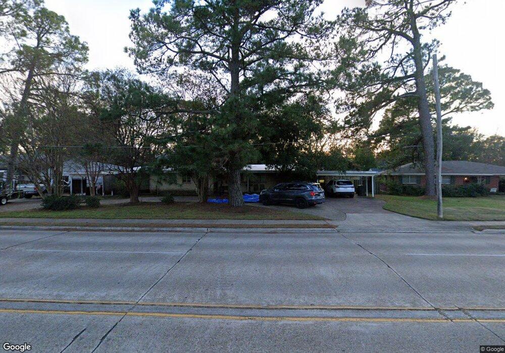
1306 E Kings Hwy Shreveport, LA 71105
Broadmoor/Anderson Island/Shreve Isle NeighborhoodEstimated Value: $131,000 - $167,000
3
Beds
2
Baths
1,371
Sq Ft
$114/Sq Ft
Est. Value
About This Home
This home is located at 1306 E Kings Hwy, Shreveport, LA 71105 and is currently estimated at $156,071, approximately $113 per square foot. 1306 E Kings Hwy is a home located in Caddo Parish with nearby schools including Broadmoor STEM Academy, Fairfield Magnet School, and Claiborne Fundamental Elementary School.
Ownership History
Date
Name
Owned For
Owner Type
Purchase Details
Closed on
Oct 1, 2020
Sold by
91Houses Llc
Bought by
Taylor Family Property Llc
Current Estimated Value
Purchase Details
Closed on
Sep 8, 2020
Sold by
Bertolla Trust
Bought by
91Houses Llc
Purchase Details
Closed on
Aug 25, 2019
Sold by
Bertolla Denny L
Bought by
Bertolla Trust
Purchase Details
Closed on
Nov 6, 2013
Sold by
Jpmorgan Chase Bank Na
Bought by
Bertolla Denay L
Create a Home Valuation Report for This Property
The Home Valuation Report is an in-depth analysis detailing your home's value as well as a comparison with similar homes in the area
Home Values in the Area
Average Home Value in this Area
Purchase History
| Date | Buyer | Sale Price | Title Company |
|---|---|---|---|
| Taylor Family Property Llc | $52,000 | Fidelity National Title | |
| 91Houses Llc | $1,500,000 | Fidelity National Title | |
| Bertolla Trust | -- | None Available | |
| Bertolla Denay L | $20,000 | None Available |
Source: Public Records
Tax History Compared to Growth
Tax History
| Year | Tax Paid | Tax Assessment Tax Assessment Total Assessment is a certain percentage of the fair market value that is determined by local assessors to be the total taxable value of land and additions on the property. | Land | Improvement |
|---|---|---|---|---|
| 2024 | $1,000 | $6,416 | $1,241 | $5,175 |
| 2023 | $1,013 | $6,357 | $1,182 | $5,175 |
| 2022 | $1,013 | $6,357 | $1,182 | $5,175 |
| 2021 | $998 | $6,357 | $1,182 | $5,175 |
| 2020 | $998 | $6,357 | $1,182 | $5,175 |
| 2019 | $1,035 | $6,400 | $1,182 | $5,218 |
| 2018 | $824 | $6,400 | $1,182 | $5,218 |
| 2017 | $1,051 | $6,400 | $1,182 | $5,218 |
| 2015 | $643 | $4,960 | $1,180 | $3,780 |
| 2014 | $648 | $4,960 | $1,180 | $3,780 |
| 2013 | -- | $4,960 | $1,180 | $3,780 |
Source: Public Records
Map
Nearby Homes
- 110 Preston Ave
- 107 Preston Ave
- 106 Leo Ave
- 951 Audubon Place
- 1419 Audubon Place
- 129 Carrollton Ave
- 153 Carrollton Ave
- 202 Preston Ave
- 174 Carrollton Ave
- 147 Pennsylvania Ave
- 187 Atlantic Ave
- 1601 Captain Shreve Dr
- 1615 Captain Shreve Dr
- 858 River Rd
- 1836 Bryan Place
- 850 Cardinal St
- 142 Lynn Ave
- 230 Pennsylvania Ave
- 240 Carrollton Ave
- 902 Anniston Ave
- 1306 E Kings Hwy
- 1310 E Kings Hwy
- 1304 E Kings Hwy
- 103 Patton Ave
- 1314 E Kings Hwy
- 1302 E Kings Hwy
- 105 Patton Ave
- 114 Preston Ave
- 1324 E Kings Hwy
- 111 Patton Ave
- 118 Preston Ave
- 1212 E Kings Hwy
- 115 Patton Ave
- 122 Preston Ave
- 122 Preston Ave
- 1210 E Kings Hwy
- 1404 E Kings Hwy
- 104 Patton Ave
- 105 Preston Ave
- 117 Patton Ave