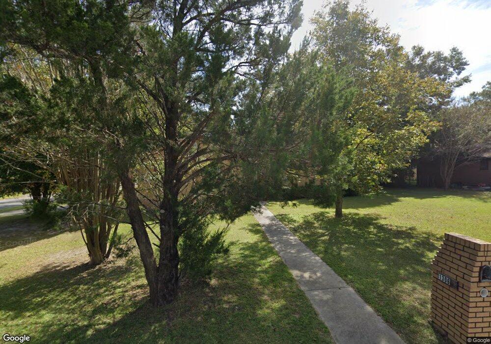
1306 Farris St Waycross, GA 31501
Estimated Value: $164,000 - $190,000
--
Bed
2
Baths
1,695
Sq Ft
$105/Sq Ft
Est. Value
About This Home
This home is located at 1306 Farris St, Waycross, GA 31501 and is currently estimated at $177,191, approximately $104 per square foot. 1306 Farris St is a home located in Ware County with nearby schools including Wacona Elementary School, Ware County Middle School, and Ware County High School.
Ownership History
Date
Name
Owned For
Owner Type
Purchase Details
Closed on
Oct 23, 2000
Sold by
Clyburn Kenneth D
Bought by
New Mt Pleasannnnt Baptist Church
Current Estimated Value
Purchase Details
Closed on
Feb 22, 1995
Bought by
Clyburn Kenneth D
Purchase Details
Closed on
Jun 9, 1994
Bought by
Burse Leonard
Create a Home Valuation Report for This Property
The Home Valuation Report is an in-depth analysis detailing your home's value as well as a comparison with similar homes in the area
Home Values in the Area
Average Home Value in this Area
Purchase History
| Date | Buyer | Sale Price | Title Company |
|---|---|---|---|
| New Mt Pleasannnnt Baptist Church | $77,000 | -- | |
| Clyburn Kenneth D | $75,000 | -- | |
| Burse Leonard | $4,500 | -- |
Source: Public Records
Tax History Compared to Growth
Tax History
| Year | Tax Paid | Tax Assessment Tax Assessment Total Assessment is a certain percentage of the fair market value that is determined by local assessors to be the total taxable value of land and additions on the property. | Land | Improvement |
|---|---|---|---|---|
| 2024 | -- | $77,325 | $2,134 | $75,191 |
| 2023 | $0 | $44,022 | $2,134 | $41,888 |
| 2022 | $1,754 | $44,022 | $2,134 | $41,888 |
| 2021 | $1,489 | $34,448 | $2,134 | $32,314 |
| 2020 | $1,969 | $45,178 | $2,134 | $43,044 |
| 2019 | $2,141 | $48,427 | $5,335 | $43,092 |
| 2018 | $0 | $46,375 | $5,335 | $41,040 |
| 2017 | $2,034 | $46,375 | $5,335 | $41,040 |
| 2016 | $2,034 | $46,375 | $5,335 | $41,040 |
| 2015 | -- | $46,375 | $5,335 | $41,040 |
| 2014 | -- | $46,375 | $5,335 | $41,040 |
| 2013 | -- | $46,375 | $5,335 | $41,040 |
Source: Public Records
Map
Nearby Homes
- 1304 Farris St
- 1207 Emma St
- 806 Creagh St
- 901 Buchannon St
- 1302 Farris St
- 1303 Farris St
- 1301 Farris St
- 802 Quarterman St
- 603 Dorothy St
- 908 Quarterman St
- 0 Creagh St
- 914 Quarterman St
- 914 Quarterman St
- 800 Quarterman St
- 1351 McDonald St
- 916 Quarterman St
- 1349 McDonald St
- 1308 El Saunders Dr
- o Dorothy
- 600 Dorothy St