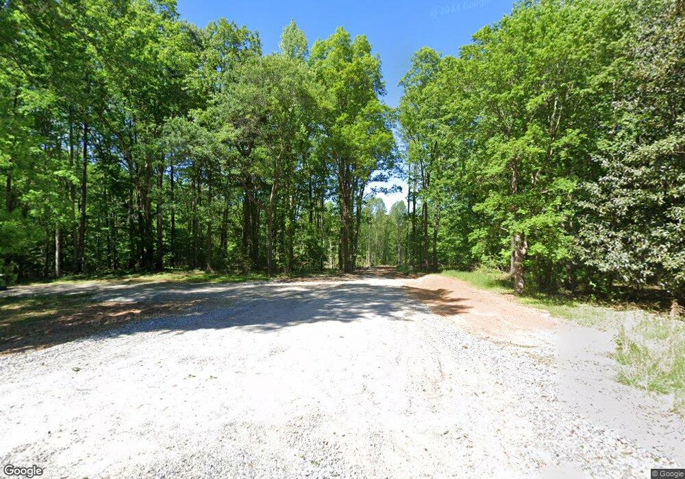
1306 Grove Level Rd Maysville, GA 30558
Estimated Value: $13,844 - $317,000
3
Beds
2
Baths
1,600
Sq Ft
$82/Sq Ft
Est. Value
About This Home
This home is located at 1306 Grove Level Rd, Maysville, GA 30558 and is currently estimated at $130,961, approximately $81 per square foot. 1306 Grove Level Rd is a home located in Banks County with nearby schools including Banks County Primary School, Banks County Elementary School, and Banks County Middle School.
Ownership History
Date
Name
Owned For
Owner Type
Purchase Details
Closed on
Jun 4, 2018
Sold by
William Hulsey
Bought by
Coltman Brett
Current Estimated Value
Purchase Details
Closed on
Jul 13, 2017
Sold by
Perkins Scott A
Bought by
William Hulsey
Home Financials for this Owner
Home Financials are based on the most recent Mortgage that was taken out on this home.
Original Mortgage
$12,000
Interest Rate
3.91%
Mortgage Type
New Conventional
Purchase Details
Closed on
Mar 11, 2013
Sold by
Knutsen Stephen John
Bought by
Perkins Scott Alan and Perkins Regina Knutsen
Purchase Details
Closed on
Feb 20, 2006
Sold by
Rivera Igdalias
Bought by
Knutsen Stephen and Knutsen Shannon
Create a Home Valuation Report for This Property
The Home Valuation Report is an in-depth analysis detailing your home's value as well as a comparison with similar homes in the area
Home Values in the Area
Average Home Value in this Area
Purchase History
| Date | Buyer | Sale Price | Title Company |
|---|---|---|---|
| Coltman Brett | $7,500 | -- | |
| William Hulsey | $12,000 | -- | |
| Perkins Scott Alan | -- | -- | |
| Knutsen Stephen | $59,900 | -- |
Source: Public Records
Mortgage History
| Date | Status | Borrower | Loan Amount |
|---|---|---|---|
| Previous Owner | William Hulsey | $12,000 |
Source: Public Records
Tax History Compared to Growth
Tax History
| Year | Tax Paid | Tax Assessment Tax Assessment Total Assessment is a certain percentage of the fair market value that is determined by local assessors to be the total taxable value of land and additions on the property. | Land | Improvement |
|---|---|---|---|---|
| 2025 | $199 | $10,406 | $10,406 | $0 |
| 2024 | $199 | $9,460 | $9,460 | $0 |
| 2023 | $153 | $7,537 | $7,537 | $0 |
| 2022 | $158 | $7,537 | $7,537 | $0 |
| 2021 | $102 | $4,568 | $4,568 | $0 |
| 2020 | $88 | $3,838 | $3,838 | $0 |
| 2019 | $69 | $32,148 | $3,838 | $28,310 |
| 2018 | $112 | $28,504 | $2,953 | $25,551 |
| 2017 | $657 | $26,872 | $2,568 | $24,304 |
| 2016 | $675 | $26,872 | $2,568 | $24,304 |
| 2015 | $728 | $26,871 | $2,568 | $24,304 |
| 2014 | $728 | $30,876 | $6,572 | $24,304 |
| 2013 | -- | $30,876 | $6,572 | $24,304 |
Source: Public Records
Map
Nearby Homes
- 116 Valley View Dr
- 301 Oak Ridge Dr
- 142 Holland Dam Dr
- 20352 Highway 441 S
- 390 Beck Farm Rd
- 214 Cannon Creek
- 122 Cannon Creek
- 1570 Historic Homer Hwy
- 0 Hunters Glen Unit 7657277
- 0 Hunters Glen Unit 10614427
- 119 Yarbrough Ridgeway Rd
- 259 E Ridgeway Rd
- 1911 Ridgeway Church Rd
- 0 Wheeler Cemetery Rd Unit 10647289
- 0 Steven B Tanger Blvd Unit 18091877
- 5830 Maysville Rd
- 150 Harden Bridge Rd
- 75 Meadow Lark Way
- 0 Eisenhower Dr
- 108 Lillie Ln
- 1234 Grove Level Rd
- 1366 Grove Level Rd
- 1191 Grove Level Rd
- 1222 Grove Level Rd
- 121 Gene Crane Rd
- 1359 Grove Level Rd
- 1430 Grove Level Rd
- 0 Hembree Rd Unit TRACT 2B 7387177
- 0 Hembree Rd Unit TRACT 3B 7387194
- 0 Hembree Rd Unit TRACT 2C 7387190
- 0 Hembree Rd Unit TRACT 3C 7387195
- 0 Hembree Rd Unit 20150614
- 0 Hembree Rd Unit 970717
- 0 Hembree Rd Unit TRACT 2D 7387192
- 0 Hembree Rd Unit 9066749
- 0 Hembree Rd Unit 8904613
- 0 Hembree Rd Unit 8638886
- 1401 Grove Level Rd
- 1441 Grove Level Rd
- 489 Gene Crane Rd
