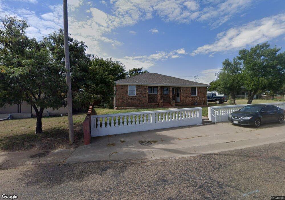
1306 Haggard St Borger, TX 79007
Estimated Value: $78,000 - $84,264
4
Beds
2
Baths
1,256
Sq Ft
$66/Sq Ft
Est. Value
About This Home
This home is located at 1306 Haggard St, Borger, TX 79007 and is currently estimated at $82,566, approximately $65 per square foot. 1306 Haggard St is a home located in Hutchinson County with nearby schools including Paul Belton Elementary School, Crockett Elementary School, and Gateway Elementary School.
Ownership History
Date
Name
Owned For
Owner Type
Purchase Details
Closed on
Nov 19, 2015
Sold by
Amarillo National Bank
Bought by
Ortiz Cristian Andres
Current Estimated Value
Home Financials for this Owner
Home Financials are based on the most recent Mortgage that was taken out on this home.
Original Mortgage
$45,000
Outstanding Balance
$18,228
Interest Rate
3.85%
Mortgage Type
New Conventional
Estimated Equity
$64,338
Purchase Details
Closed on
Sep 24, 2007
Sold by
Reynolds John E
Bought by
Williams Leonard
Create a Home Valuation Report for This Property
The Home Valuation Report is an in-depth analysis detailing your home's value as well as a comparison with similar homes in the area
Home Values in the Area
Average Home Value in this Area
Purchase History
| Date | Buyer | Sale Price | Title Company |
|---|---|---|---|
| Ortiz Cristian Andres | $349 | None Available | |
| Williams Leonard | -- | None Available |
Source: Public Records
Mortgage History
| Date | Status | Borrower | Loan Amount |
|---|---|---|---|
| Open | Ortiz Cristian Andres | $45,000 |
Source: Public Records
Tax History Compared to Growth
Tax History
| Year | Tax Paid | Tax Assessment Tax Assessment Total Assessment is a certain percentage of the fair market value that is determined by local assessors to be the total taxable value of land and additions on the property. | Land | Improvement |
|---|---|---|---|---|
| 2025 | $1,417 | $53,690 | $0 | $0 |
| 2024 | $1,288 | $48,810 | $5,630 | $43,180 |
| 2023 | $1,266 | $48,810 | $5,630 | $43,180 |
| 2022 | $1,299 | $45,470 | $5,630 | $39,840 |
| 2021 | $1,396 | $45,470 | $5,630 | $39,840 |
| 2020 | $1,416 | $44,580 | $5,630 | $38,950 |
| 2019 | $1,433 | $44,580 | $5,630 | $38,950 |
| 2018 | $1,416 | $44,580 | $5,630 | $38,950 |
| 2017 | $1,394 | $46,410 | $5,630 | $40,780 |
| 2016 | $1,330 | $44,270 | $5,630 | $38,640 |
| 2015 | -- | $10,110 | $2,930 | $7,180 |
| 2014 | -- | $10,110 | $2,930 | $7,180 |
Source: Public Records
Map
Nearby Homes
- 0 Green St Unit 25-8693
- 1338 Haggard St
- 1200 Lindsey St
- 601 E 10th St
- 717 Alabama St
- 704 N Harvey St
- 703 Alabama St
- 1311 Boyd St
- 1212 Hazelwood St
- 607 Alabama St
- 1224 Hazelwood St
- 705 Alabama St
- 626 N Hedgecoke St
- 601 Coble St
- 503 N Main St
- 1311 Cooley Dr
- 905 Harrington St
- 516 N McGee St
- 904 Elmore St
- 704 Montana St
- 1302 Haggard St
- 1316 Patton Cir
- 1303 Haggard St
- 1301 Haggard St
- 1318 Patton Cir
- 1314 Patton Cir
- 1300 Haggard St
- 1305 Haggard St
- 1320 Patton Cir
- 1303 Jolly St
- 1304 Jolly St
- 1302 Jolly St
- 1312 Patton Cir
- 1307 Haggard St
- 1311 Patton Cir
- 1204 Yows St
- 1302 Yows St
- 1305 Jolly St
- 1309 Haggard St
- 1310 Patton Cir