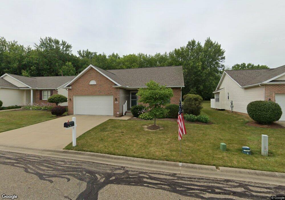
1306 Presidents St Unit 5 Louisville, OH 44641
Estimated Value: $259,000 - $291,000
3
Beds
2
Baths
1,380
Sq Ft
$195/Sq Ft
Est. Value
About This Home
This home is located at 1306 Presidents St Unit 5, Louisville, OH 44641 and is currently estimated at $268,718, approximately $194 per square foot. 1306 Presidents St Unit 5 is a home located in Stark County with nearby schools including Louisville High School and St. Thomas Aquinas High School & Middle School.
Ownership History
Date
Name
Owned For
Owner Type
Purchase Details
Closed on
Jun 12, 2014
Sold by
Garren Ronald E and Garren Rose A
Bought by
Kuceyeski David and Stevens Joycelyn C
Current Estimated Value
Purchase Details
Closed on
May 17, 2011
Sold by
Garren Ronald E and Garren Rose A
Bought by
Garren Ronald E and Garren Rose A
Purchase Details
Closed on
Jan 17, 2001
Sold by
Miranoma Inc
Bought by
Garren Ronald E and Garren Rose A
Home Financials for this Owner
Home Financials are based on the most recent Mortgage that was taken out on this home.
Original Mortgage
$123,200
Interest Rate
7.58%
Create a Home Valuation Report for This Property
The Home Valuation Report is an in-depth analysis detailing your home's value as well as a comparison with similar homes in the area
Home Values in the Area
Average Home Value in this Area
Purchase History
| Date | Buyer | Sale Price | Title Company |
|---|---|---|---|
| Kuceyeski David | $149,000 | None Available | |
| Garren Ronald E | -- | Attorney | |
| Garren Ronald E | $154,000 | -- |
Source: Public Records
Mortgage History
| Date | Status | Borrower | Loan Amount |
|---|---|---|---|
| Previous Owner | Garren Ronald E | $123,200 |
Source: Public Records
Tax History Compared to Growth
Tax History
| Year | Tax Paid | Tax Assessment Tax Assessment Total Assessment is a certain percentage of the fair market value that is determined by local assessors to be the total taxable value of land and additions on the property. | Land | Improvement |
|---|---|---|---|---|
| 2025 | -- | $81,520 | $16,210 | $65,310 |
| 2024 | -- | $81,520 | $16,210 | $65,310 |
| 2023 | $2,748 | $63,950 | $12,570 | $51,380 |
| 2022 | $1,649 | $63,950 | $12,570 | $51,380 |
| 2021 | $1,798 | $63,950 | $12,570 | $51,380 |
| 2020 | $2,295 | $57,860 | $11,310 | $46,550 |
| 2019 | $2,310 | $57,860 | $11,310 | $46,550 |
| 2018 | $2,301 | $57,860 | $11,310 | $46,550 |
| 2017 | $2,031 | $49,250 | $10,500 | $38,750 |
| 2016 | $2,072 | $49,250 | $10,500 | $38,750 |
| 2015 | $2,078 | $49,250 | $10,500 | $38,750 |
| 2014 | $1,668 | $45,470 | $11,100 | $34,370 |
| 2013 | $868 | $46,800 | $11,100 | $35,700 |
Source: Public Records
Map
Nearby Homes
- 641 S Nickelplate St
- 908 Sand Lot Cir
- 1715 High St
- 520 S Silver St
- 728 E Broad St
- 1812 E Broad St
- 308 Superior St
- 2110 Edmar St
- 510 S Bauman Ct
- 204 E Broad St
- 107 E Broad St
- 1702 View Pointe Ave
- 0 Michigan Blvd
- 3390 Meese Rd NE
- 1639 Horizon Dr
- 325 Lincoln Ave
- 2015 E Main St
- 8225 Georgetown St
- 1170 Winding Ridge Ave
- 910 Crosswyck Cir
- 1312 Presidents St Unit 6
- 1300 Presidents St Unit 4
- 1218 Presidents St Unit 3
- 1324 Presidents St Unit 8
- 1210 Presidents St Unit 2
- 1306 Edmar St
- 1330 Presidents St Unit 9
- 1308 S Nickelplate St
- 1316 Edmar St
- 1224 Edmar St
- 1202 Presidents St Unit 1
- 1403 Presidents St
- 1214 Edmar St
- 1400 Edmar St
- 1409 Presidents St Unit 12
- 37 Presidents St
- 1204 Edmar St
- 41 Presidents St
- 1408 Edmar St
- 1307 Edmar St