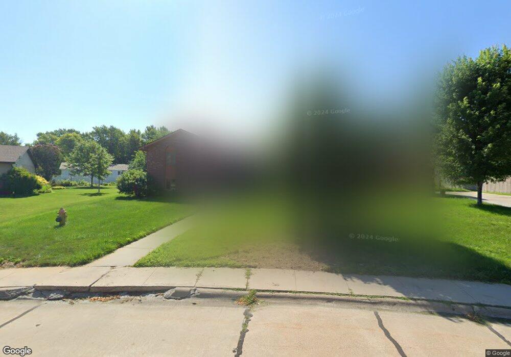
1306 Sheridan Dr Hastings, NE 68901
Estimated Value: $328,000 - $346,000
4
Beds
5
Baths
2,048
Sq Ft
$165/Sq Ft
Est. Value
About This Home
This home is located at 1306 Sheridan Dr, Hastings, NE 68901 and is currently estimated at $338,356, approximately $165 per square foot. 1306 Sheridan Dr is a home located in Adams County with nearby schools including Hastings Senior High School, St. Michael's Preschool & Elementary School, and Zion Lutheran School.
Ownership History
Date
Name
Owned For
Owner Type
Purchase Details
Closed on
Jun 10, 2008
Sold by
Erickson Ronald Dean
Bought by
Kinght Darla Dee and Erickson Darla Dee
Current Estimated Value
Purchase Details
Closed on
Nov 13, 2007
Sold by
Kinght Darle Dee and Erickson Darla Dee
Bought by
Hall Russell Freeman and Hall Lanae Rebecca
Home Financials for this Owner
Home Financials are based on the most recent Mortgage that was taken out on this home.
Original Mortgage
$145,960
Interest Rate
4.9%
Mortgage Type
New Conventional
Create a Home Valuation Report for This Property
The Home Valuation Report is an in-depth analysis detailing your home's value as well as a comparison with similar homes in the area
Home Values in the Area
Average Home Value in this Area
Purchase History
| Date | Buyer | Sale Price | Title Company |
|---|---|---|---|
| Kinght Darla Dee | -- | None Available | |
| Hall Russell Freeman | $164,000 | -- |
Source: Public Records
Mortgage History
| Date | Status | Borrower | Loan Amount |
|---|---|---|---|
| Previous Owner | Hall Russell Freeman | $145,960 |
Source: Public Records
Tax History Compared to Growth
Tax History
| Year | Tax Paid | Tax Assessment Tax Assessment Total Assessment is a certain percentage of the fair market value that is determined by local assessors to be the total taxable value of land and additions on the property. | Land | Improvement |
|---|---|---|---|---|
| 2024 | $4,246 | $266,129 | $45,195 | $220,934 |
| 2023 | $5,234 | $253,641 | $45,195 | $208,446 |
| 2022 | $4,792 | $212,717 | $45,195 | $167,522 |
| 2021 | $4,627 | $211,013 | $54,450 | $156,563 |
| 2020 | $4,550 | $211,013 | $54,450 | $156,563 |
| 2019 | $4,547 | $213,125 | $54,450 | $158,675 |
| 2018 | $4,259 | $198,605 | $39,930 | $158,675 |
| 2017 | $4,256 | $198,605 | $0 | $0 |
| 2016 | $3,950 | $184,180 | $39,930 | $144,250 |
| 2011 | -- | $175,000 | $36,300 | $138,700 |
Source: Public Records
Map
Nearby Homes
- 1225 Heritage Dr
- 1330 Heritage Dr
- 1201 Pershing Rd
- 1223 Westwood Terrace
- 1802 Westchester Dr
- 1513 Crane Ave
- 1505 Crane Ave
- 1402 Arapahoe Ave
- 1911 W 11th St
- 1314 N Laird Ave
- 1108 N Baltimore Ave
- 1334 W 12th St
- 1814 Boyce St
- 904 N Washington Ave
- 2330 W 11th St
- 1619 Boyce St
- 1001 N Webster Ave
- 2616 Butterfoot Ln
- 736 N Barnes Ave
- 2501 W 10th St
- 1300 Sheridan Dr
- 1312 Sheridan Dr
- 1245 Heritage Dr
- 1305 Heritage Dr
- 1239 Heritage Dr
- 1309 Sheridan Dr
- 1242 Sheridan Dr
- 1318 Sheridan Dr
- 1327 Heritage Dr
- 1303 Sheridan Dr
- 1233 Heritage Dr
- 1319 Sheridan Dr
- 1324 Sheridan Dr
- 1245 Sheridan Dr
- 1236 Sheridan Dr
- 1244 Heritage Dr
- 1333 Heritage Dr
- 1229 Heritage Dr
- 1325 Sheridan Dr
- 1300 Regency Dr