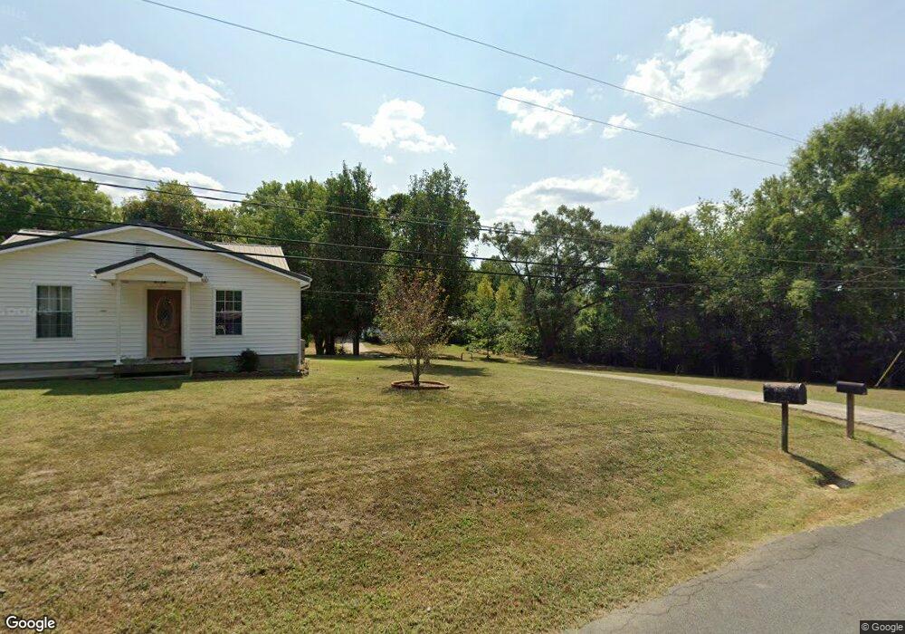
1306 Stevenson Dr Dalton, GA 30721
Estimated Value: $177,177 - $227,000
Studio
1
Bath
912
Sq Ft
$222/Sq Ft
Est. Value
About This Home
This home is located at 1306 Stevenson Dr, Dalton, GA 30721 and is currently estimated at $202,044, approximately $221 per square foot. 1306 Stevenson Dr is a home located in Whitfield County with nearby schools including Eastside Elementary School, Eastbrook Middle School, and Southeast Whitfield County High School.
Ownership History
Date
Name
Owned For
Owner Type
Purchase Details
Closed on
Feb 27, 2023
Sold by
Reyes Gabriel
Bought by
Cornejo Gabriela Rubio
Current Estimated Value
Home Financials for this Owner
Home Financials are based on the most recent Mortgage that was taken out on this home.
Original Mortgage
$76,000
Outstanding Balance
$65,515
Interest Rate
5.28%
Mortgage Type
New Conventional
Estimated Equity
$136,529
Purchase Details
Closed on
Oct 21, 2014
Sold by
Ruiz Jose
Bought by
Pina Maria and Pina Mayra
Purchase Details
Closed on
Aug 21, 2000
Sold by
Stafford Ralph C and Stafford Rachel L
Bought by
Ruiz Jose
Create a Home Valuation Report for This Property
The Home Valuation Report is an in-depth analysis detailing your home's value as well as a comparison with similar homes in the area
Purchase History
| Date | Buyer | Sale Price | Title Company |
|---|---|---|---|
| Cornejo Gabriela Rubio | $80,000 | -- | |
| Pina Maria | -- | -- | |
| Ruiz Jose | $59,000 | -- |
Source: Public Records
Mortgage History
| Date | Status | Borrower | Loan Amount |
|---|---|---|---|
| Open | Cornejo Gabriela Rubio | $76,000 |
Source: Public Records
Tax History
| Year | Tax Paid | Tax Assessment Tax Assessment Total Assessment is a certain percentage of the fair market value that is determined by local assessors to be the total taxable value of land and additions on the property. | Land | Improvement |
|---|---|---|---|---|
| 2025 | $1,401 | $69,689 | $7,000 | $62,689 |
| 2024 | $1,401 | $69,689 | $7,000 | $62,689 |
| 2023 | $1,020 | $31,061 | $4,360 | $26,701 |
| 2022 | $424 | $22,928 | $4,360 | $18,568 |
| 2021 | $440 | $23,456 | $4,360 | $19,096 |
| 2020 | $443 | $23,456 | $4,360 | $19,096 |
| 2019 | $445 | $23,456 | $4,360 | $19,096 |
| 2018 | $446 | $23,456 | $4,360 | $19,096 |
| 2017 | $447 | $23,456 | $4,360 | $19,096 |
| 2016 | $369 | $21,028 | $3,570 | $17,458 |
| 2014 | $367 | $21,028 | $3,570 | $17,458 |
| 2013 | -- | $21,028 | $3,570 | $17,458 |
Source: Public Records
Map
Nearby Homes
- 1302 Jackson Rd
- 1317 Coker Dr
- 1112 Riverbend Dr
- 945 Riverbend Rd
- 514 Sheridan Ave
- 434 Liberty Dr
- 902 Mattie Dr
- 1401 Eastbrook Rd SE
- 1712 Wendell St
- 1104 May St
- 406 Lester Ave
- 115 Zell Dr
- 1902 Bartenfield Dr
- 626 Fifth Ave
- 121 Eugenia Dr
- 119 Eugenia Dr
- 306 Robinwood Dr
- 1401 Eastbrook Dr SE
- lot 5 Wendell St
- lot 6 Wendell St
- 1306 Stevenson Dr
- 1308 Stevenson Dr
- 1204 Coogler Rd
- 1303 Stevenson Dr
- 1335 Coker Dr
- 1204 Jackson Rd
- 1206 Jackson Rd
- 1217 Stevenson Dr
- 149 Kessler Dr
- 1401 Coker Dr
- 1336 Coker Dr
- 1336 Coker Dr
- 1336 Coker Dr
- 150 Kessler Dr
- 1334 Coker Dr
- 1400 Stevenson Dr
- 1306 Jackson Rd
- 1348 Coker Dr
- 1407 Coker Dr
- 1406 Stevenson Dr
Your Personal Tour Guide
Ask me questions while you tour the home.