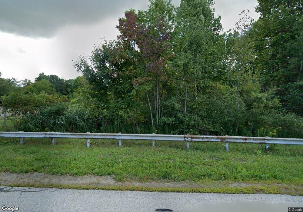
13065 Sanford Rd West Springfield, PA 16443
Estimated Value: $184,000 - $256,000
3
Beds
2
Baths
1,960
Sq Ft
$118/Sq Ft
Est. Value
About This Home
This home is located at 13065 Sanford Rd, West Springfield, PA 16443 and is currently estimated at $232,234, approximately $118 per square foot. 13065 Sanford Rd is a home located in Erie County with nearby schools including Northwestern Senior High School.
Ownership History
Date
Name
Owned For
Owner Type
Purchase Details
Closed on
Jul 26, 2022
Sold by
Black Rebecca M and Black Russell J
Bought by
Black Rebecca M
Current Estimated Value
Home Financials for this Owner
Home Financials are based on the most recent Mortgage that was taken out on this home.
Original Mortgage
$161,100
Outstanding Balance
$136,911
Interest Rate
4.92%
Mortgage Type
New Conventional
Estimated Equity
$95,323
Purchase Details
Closed on
Aug 30, 2013
Sold by
Black Rebecca M and Black Russell J
Bought by
Black Rebecca M and Black Russell J
Home Financials for this Owner
Home Financials are based on the most recent Mortgage that was taken out on this home.
Original Mortgage
$69,000
Interest Rate
4.34%
Mortgage Type
New Conventional
Create a Home Valuation Report for This Property
The Home Valuation Report is an in-depth analysis detailing your home's value as well as a comparison with similar homes in the area
Home Values in the Area
Average Home Value in this Area
Purchase History
| Date | Buyer | Sale Price | Title Company |
|---|---|---|---|
| Black Rebecca M | -- | None Listed On Document | |
| Black Rebecca M | -- | None Available |
Source: Public Records
Mortgage History
| Date | Status | Borrower | Loan Amount |
|---|---|---|---|
| Open | Black Rebecca M | $161,100 | |
| Previous Owner | Black Rebecca M | $69,000 |
Source: Public Records
Tax History Compared to Growth
Tax History
| Year | Tax Paid | Tax Assessment Tax Assessment Total Assessment is a certain percentage of the fair market value that is determined by local assessors to be the total taxable value of land and additions on the property. | Land | Improvement |
|---|---|---|---|---|
| 2025 | $2,118 | $104,300 | $30,200 | $74,100 |
| 2024 | $2,071 | $104,300 | $30,200 | $74,100 |
| 2023 | $1,894 | $104,300 | $30,200 | $74,100 |
| 2022 | $1,813 | $104,300 | $30,200 | $74,100 |
| 2021 | $1,789 | $104,300 | $30,200 | $74,100 |
| 2020 | $1,763 | $104,300 | $30,200 | $74,100 |
| 2019 | $1,726 | $104,300 | $30,200 | $74,100 |
| 2018 | $1,643 | $104,300 | $30,200 | $74,100 |
| 2017 | $1,643 | $104,300 | $30,200 | $74,100 |
| 2016 | $1,939 | $104,300 | $30,200 | $74,100 |
| 2015 | $1,913 | $104,300 | $30,200 | $74,100 |
| 2014 | $1,065 | $104,300 | $30,200 | $74,100 |
Source: Public Records
Map
Nearby Homes
- Lot 3 Biscoff Rd
- 4937 Crayton Rd
- 13657 W Lake Rd
- 3797 Scott Rd
- 14430 Ridge Rd
- 14603 Ridge Rd
- 3499 Route 215
- 12704 Old Lake Rd
- 13478 Old Lake Rd Unit 15
- 13478 Old Lake Rd Unit 92
- 0 Griffey Rd
- 11390 Cross Station Rd
- 396 Bell St
- 5867 Teller Rd
- 593 Furnace Rd
- 522 Furnace Rd
- 529 Furnace Rd
- 10650 Bowmantown Rd
- 370 E Underridge Rd
- 264 High St
- 13076 Sanford Rd
- 13087 Sanford Rd
- 6446 Spaulding Rd
- 6314 Wheeler Rd
- 6000 Spaulding Rd
- 0 Sanford Rd Unit 170563
- 0 Sanford Rd Unit 155567
- 0 Sanford Rd
- 13121 Sanford Rd
- 6701 Spaulding Rd
- 13182 Sanford Rd
- 6021 Wheeler Rd
- 5622 Nash Rd
- 6892 Spaulding Rd
- 12824 Sanford Rd
- 5456 Nash Rd
- 5401 Nash Rd
- 5700 Coon Creek Rd
- 5348 Nash Rd
- 13222 Old Albion Rd
