13067 Ashburn Rd Wapakoneta, OH 45895
Estimated Value: $259,000 - $504,000
4
Beds
2
Baths
2,624
Sq Ft
$147/Sq Ft
Est. Value
About This Home
This home is located at 13067 Ashburn Rd, Wapakoneta, OH 45895 and is currently estimated at $384,937, approximately $146 per square foot. 13067 Ashburn Rd is a home located in Auglaize County with nearby schools including Wapakoneta Elementary School, Wapakoneta High School, and Wapakoneta Middle School.
Ownership History
Date
Name
Owned For
Owner Type
Purchase Details
Closed on
Aug 8, 2006
Sold by
Kysenceder Steven E and Kysenceder Dorabelle R
Bought by
Kysenceder Steven E and Kysenceder Dorabelle R
Current Estimated Value
Purchase Details
Closed on
May 29, 1998
Bought by
Kysenceder Steven E
Purchase Details
Closed on
Apr 20, 1998
Sold by
Brown Rodney A
Bought by
Associates Financial Services
Purchase Details
Closed on
Aug 1, 1995
Bought by
Brown Rodney A
Purchase Details
Closed on
May 9, 1995
Bought by
Brown Rodney A
Create a Home Valuation Report for This Property
The Home Valuation Report is an in-depth analysis detailing your home's value as well as a comparison with similar homes in the area
Home Values in the Area
Average Home Value in this Area
Purchase History
| Date | Buyer | Sale Price | Title Company |
|---|---|---|---|
| Kysenceder Steven E | -- | None Available | |
| Kysenceder Steven E | $80,000 | -- | |
| Associates Financial Services | $90,000 | -- | |
| Brown Rodney A | -- | -- | |
| Brown Rodney A | $10,000 | -- |
Source: Public Records
Tax History Compared to Growth
Tax History
| Year | Tax Paid | Tax Assessment Tax Assessment Total Assessment is a certain percentage of the fair market value that is determined by local assessors to be the total taxable value of land and additions on the property. | Land | Improvement |
|---|---|---|---|---|
| 2024 | $4,298 | $84,110 | $17,430 | $66,680 |
| 2023 | $2,810 | $84,110 | $17,430 | $66,680 |
| 2022 | $2,452 | $66,740 | $13,950 | $52,790 |
| 2021 | $2,432 | $66,740 | $13,950 | $52,790 |
| 2020 | $1,230 | $66,738 | $13,951 | $52,787 |
| 2019 | $2,033 | $56,081 | $11,722 | $44,359 |
| 2018 | $2,044 | $56,081 | $11,722 | $44,359 |
| 2017 | $2,034 | $56,081 | $11,722 | $44,359 |
| 2016 | $1,942 | $54,110 | $11,165 | $42,945 |
| 2015 | $1,940 | $54,110 | $11,165 | $42,945 |
| 2014 | $1,960 | $54,110 | $11,165 | $42,945 |
| 2013 | $2,033 | $54,110 | $11,165 | $42,945 |
Source: Public Records
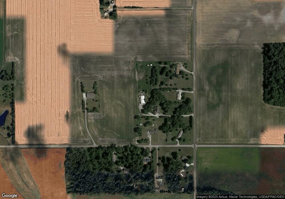
Map
Nearby Homes
- 17 E Walnut St
- 37 N Main St
- 0 Ohio 67
- 20630 State Route 67
- 409 S Pine St
- 0 Ohio 67
- 17092 Hauss Rd
- 201 E Pearl St
- 102 Wapak St
- 0 Wapakoneta Cridersville Rd
- 9 E Silver St
- 211 W Benton St
- 307 W Benton St
- 307 W Auglaize St
- 414 W Auglaize St
- 608 W Benton St
- 420 Hoopengarner St
- 814 W Benton St
- 322 Cole Dr
- 13101 Ashburn Rd
- 18961 Weimert School Rd
- 18910 Weimert School Rd
- 12979 Ashburn Rd
- 18926 Weimert School Rd
- 18811 Weimert School Rd
- 12945 Ashburn Rd
- 12934 Ashburn Rd
- 13251 Ashburn Rd
- 13334 Ashburn Rd
- 18561 Weimert School Rd
- 12771 Ashburn Rd
- 13438 Ashburn Rd
- 18197 Weimert School Rd
- 12494 Ashburn Rd
- 13133 Geyer Rd
- 19160 Spring St
- 13751 Geyer Rd