13067 Black River Rd New Zion, SC 29111
Estimated Value: $226,000 - $514,000
--
Bed
--
Bath
1,728
Sq Ft
$219/Sq Ft
Est. Value
About This Home
This home is located at 13067 Black River Rd, New Zion, SC 29111 and is currently estimated at $379,152, approximately $219 per square foot. 13067 Black River Rd is a home located in Clarendon County with nearby schools including Walker-Gamble Elementary School and East Clarendon Middle-High School.
Ownership History
Date
Name
Owned For
Owner Type
Purchase Details
Closed on
Aug 13, 2024
Sold by
Reardon Darrell Lee and Reardon Jack Dale
Bought by
Cumbee Jarold F and Cumbee Rebecca W
Current Estimated Value
Home Financials for this Owner
Home Financials are based on the most recent Mortgage that was taken out on this home.
Original Mortgage
$150,000
Outstanding Balance
$148,328
Interest Rate
6.95%
Mortgage Type
New Conventional
Estimated Equity
$230,824
Purchase Details
Closed on
Jun 3, 2021
Sold by
Reardon William Douglas and Estate Of Jackson Odell Reardo
Bought by
Reardon Jack Dale and Reardon Darrell Lee
Create a Home Valuation Report for This Property
The Home Valuation Report is an in-depth analysis detailing your home's value as well as a comparison with similar homes in the area
Home Values in the Area
Average Home Value in this Area
Purchase History
| Date | Buyer | Sale Price | Title Company |
|---|---|---|---|
| Cumbee Jarold F | $450,000 | None Listed On Document | |
| Reardon Jack Dale | -- | None Available |
Source: Public Records
Mortgage History
| Date | Status | Borrower | Loan Amount |
|---|---|---|---|
| Open | Cumbee Jarold F | $150,000 |
Source: Public Records
Tax History Compared to Growth
Tax History
| Year | Tax Paid | Tax Assessment Tax Assessment Total Assessment is a certain percentage of the fair market value that is determined by local assessors to be the total taxable value of land and additions on the property. | Land | Improvement |
|---|---|---|---|---|
| 2024 | $1,383 | $3,398 | $950 | $2,448 |
| 2023 | $1,348 | $3,398 | $950 | $2,448 |
| 2022 | $1,335 | $3,398 | $950 | $2,448 |
| 2021 | $1,804 | $7,062 | $4,344 | $2,718 |
| 2020 | $1,804 | $3,558 | $0 | $0 |
| 2019 | $1,752 | $3,558 | $0 | $0 |
| 2018 | $1,710 | $3,558 | $0 | $0 |
| 2017 | $1,702 | $3,546 | $0 | $0 |
| 2016 | $1,664 | $7,092 | $0 | $0 |
| 2015 | $1,634 | $3,605 | $827 | $2,778 |
| 2014 | $1,625 | $3,605 | $827 | $2,778 |
| 2013 | -- | $3,605 | $827 | $2,778 |
Source: Public Records
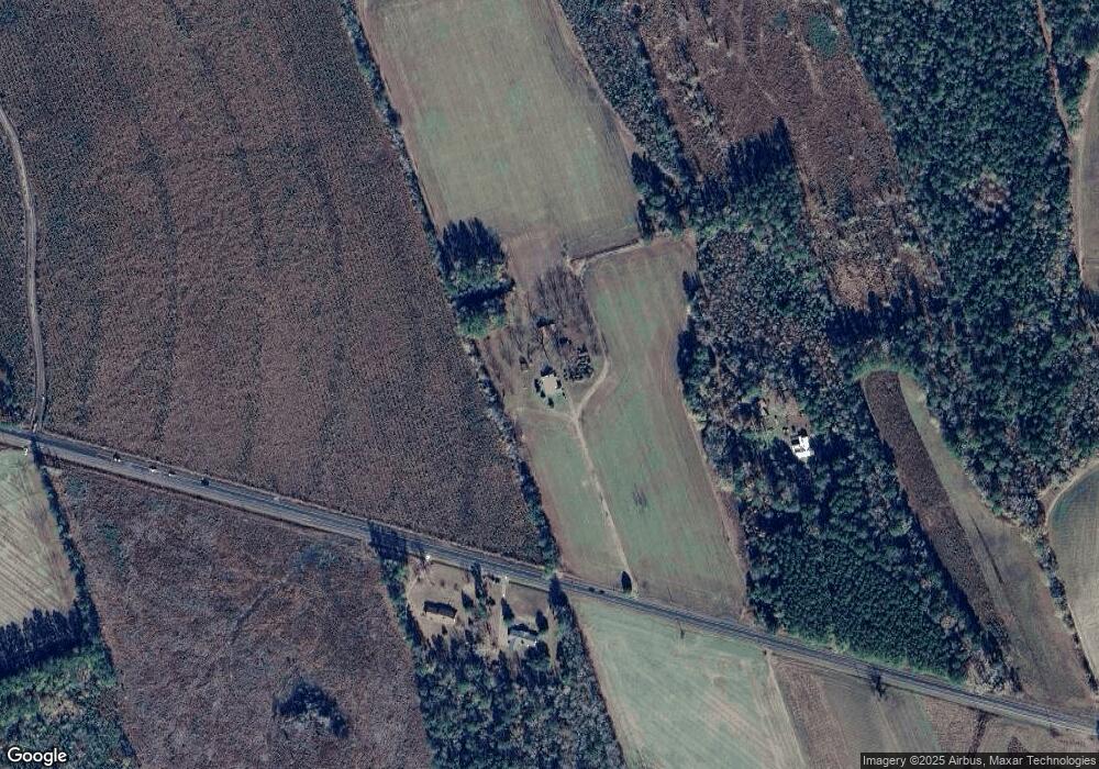
Map
Nearby Homes
- 0 Black River Rd
- N Brewington Rd
- 10988 Highway 301
- 527 Tbd Hwy 527
- 1190 Whistle Top Ln
- N Brewington Rd
- 1275 Renegade Trail
- N Brewington Rd
- 13964 U S 301
- 0000 N Brewington Rd Unit 10
- 0 N Brewington Rd Unit 24570399
- 0000 N Brewington Rd Unit 9
- 5120 N Brewington Rd Unit 5
- 0000 N Brewington Rd
- 0 N Brewington Rd Unit 3
- 0000 N Brewington Rd Unit 3
- 5120 N Brewington Rd
- 8200 Salem Rd
- 8367 Salem Rd
- 1664 N Brewington Rd