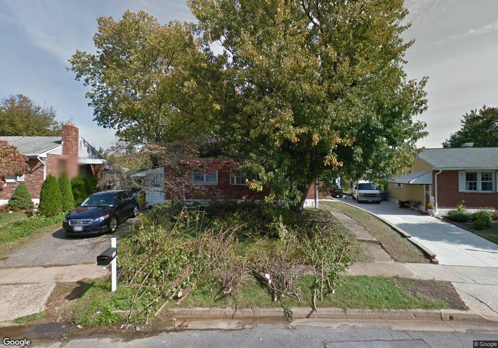
1307 Cory Dr Glen Burnie, MD 21061
Estimated Value: $312,000 - $399,000
--
Bed
1
Bath
1,015
Sq Ft
$349/Sq Ft
Est. Value
About This Home
This home is located at 1307 Cory Dr, Glen Burnie, MD 21061 and is currently estimated at $354,410, approximately $349 per square foot. 1307 Cory Dr is a home located in Anne Arundel County with nearby schools including Woodside Elementary School, Corkran Middle School, and Glen Burnie High School.
Ownership History
Date
Name
Owned For
Owner Type
Purchase Details
Closed on
Jun 15, 1998
Sold by
Cubbage Ronald J
Bought by
Harris Bruce E and Harris Sayoko
Current Estimated Value
Purchase Details
Closed on
Sep 21, 1993
Sold by
Spare I E
Bought by
Cubbage Ronald J
Home Financials for this Owner
Home Financials are based on the most recent Mortgage that was taken out on this home.
Original Mortgage
$109,100
Interest Rate
7.16%
Purchase Details
Closed on
Jun 22, 1987
Sold by
Everson Philip P
Bought by
Spare Isabel E
Home Financials for this Owner
Home Financials are based on the most recent Mortgage that was taken out on this home.
Original Mortgage
$59,400
Interest Rate
10.44%
Create a Home Valuation Report for This Property
The Home Valuation Report is an in-depth analysis detailing your home's value as well as a comparison with similar homes in the area
Home Values in the Area
Average Home Value in this Area
Purchase History
| Date | Buyer | Sale Price | Title Company |
|---|---|---|---|
| Harris Bruce E | $117,000 | -- | |
| Cubbage Ronald J | $111,000 | -- | |
| Spare Isabel E | $74,500 | -- |
Source: Public Records
Mortgage History
| Date | Status | Borrower | Loan Amount |
|---|---|---|---|
| Previous Owner | Cubbage Ronald J | $109,100 | |
| Previous Owner | Spare Isabel E | $59,400 | |
| Closed | Harris Bruce E | -- |
Source: Public Records
Tax History Compared to Growth
Tax History
| Year | Tax Paid | Tax Assessment Tax Assessment Total Assessment is a certain percentage of the fair market value that is determined by local assessors to be the total taxable value of land and additions on the property. | Land | Improvement |
|---|---|---|---|---|
| 2025 | $3,283 | $267,400 | $145,800 | $121,600 |
| 2024 | $3,283 | $253,933 | $0 | $0 |
| 2023 | $3,100 | $240,467 | $0 | $0 |
| 2022 | $2,802 | $227,000 | $130,800 | $96,200 |
| 2021 | $5,491 | $221,533 | $0 | $0 |
| 2020 | $2,647 | $216,067 | $0 | $0 |
| 2019 | $2,592 | $210,600 | $125,800 | $84,800 |
| 2018 | $2,035 | $200,667 | $0 | $0 |
| 2017 | $2,327 | $190,733 | $0 | $0 |
| 2016 | -- | $180,800 | $0 | $0 |
| 2015 | -- | $172,500 | $0 | $0 |
| 2014 | -- | $164,200 | $0 | $0 |
Source: Public Records
Map
Nearby Homes
- 405 Morningside Dr
- 7818 Oakwood Rd
- 7808 Five Oaks Ct
- 306 Woodleaf Ct
- 338 White Oak Way
- 251 Oakview Village Dr
- 262 Woodoak Ct
- 1002 Lee Rd
- 8903 Jeff Mar Dr
- 0 Irene Dr
- 180 Jessica Ln
- 409 Aquahart Rd
- 125 Range Rd
- 1702 Manning Rd
- 203 Buckingham Dr
- 308 Aquahart Rd
- 715 Griffith Rd
- 601 Ashington Rd
- 707 Delmar Ave
- 1423 Braden Loop