1307 Franklin Dr Bloomsburg, PA 17815
Estimated Value: $274,355 - $318,000
--
Bed
--
Bath
1,440
Sq Ft
$206/Sq Ft
Est. Value
About This Home
This home is located at 1307 Franklin Dr, Bloomsburg, PA 17815 and is currently estimated at $296,839, approximately $206 per square foot. 1307 Franklin Dr is a home located in Columbia County with nearby schools including Central Columbia Elementary School, Central Columbia Middle School, and Central Columbia Senior High School.
Ownership History
Date
Name
Owned For
Owner Type
Purchase Details
Closed on
Nov 17, 2017
Sold by
Edwards Sherrel A
Bought by
Rude Philip M and Rude Katie
Current Estimated Value
Home Financials for this Owner
Home Financials are based on the most recent Mortgage that was taken out on this home.
Original Mortgage
$155,200
Outstanding Balance
$130,050
Interest Rate
3.85%
Mortgage Type
New Conventional
Estimated Equity
$166,789
Purchase Details
Closed on
Nov 1, 2012
Sold by
Edwards Sherrel A and Estate Of Wayne E Hough
Bought by
Edwards Sherrel A
Create a Home Valuation Report for This Property
The Home Valuation Report is an in-depth analysis detailing your home's value as well as a comparison with similar homes in the area
Home Values in the Area
Average Home Value in this Area
Purchase History
| Date | Buyer | Sale Price | Title Company |
|---|---|---|---|
| Rude Philip M | $160,000 | Exact Abstract | |
| Edwards Sherrel A | -- | None Available |
Source: Public Records
Mortgage History
| Date | Status | Borrower | Loan Amount |
|---|---|---|---|
| Open | Rude Philip M | $155,200 |
Source: Public Records
Tax History Compared to Growth
Tax History
| Year | Tax Paid | Tax Assessment Tax Assessment Total Assessment is a certain percentage of the fair market value that is determined by local assessors to be the total taxable value of land and additions on the property. | Land | Improvement |
|---|---|---|---|---|
| 2025 | $3,439 | $49,435 | $0 | $0 |
| 2024 | $3,355 | $49,435 | $8,434 | $41,001 |
| 2023 | $3,206 | $49,435 | $8,434 | $41,001 |
| 2022 | $3,147 | $49,435 | $8,434 | $41,001 |
| 2021 | $3,120 | $49,435 | $8,434 | $41,001 |
| 2020 | $3,013 | $49,435 | $8,434 | $41,001 |
| 2019 | $2,951 | $49,435 | $8,434 | $41,001 |
| 2018 | $2,941 | $49,435 | $8,434 | $41,001 |
| 2017 | $3,370 | $49,435 | $8,434 | $41,001 |
| 2016 | -- | $58,612 | $17,732 | $40,880 |
| 2015 | -- | $58,612 | $17,732 | $40,880 |
| 2014 | -- | $58,612 | $17,732 | $40,880 |
Source: Public Records
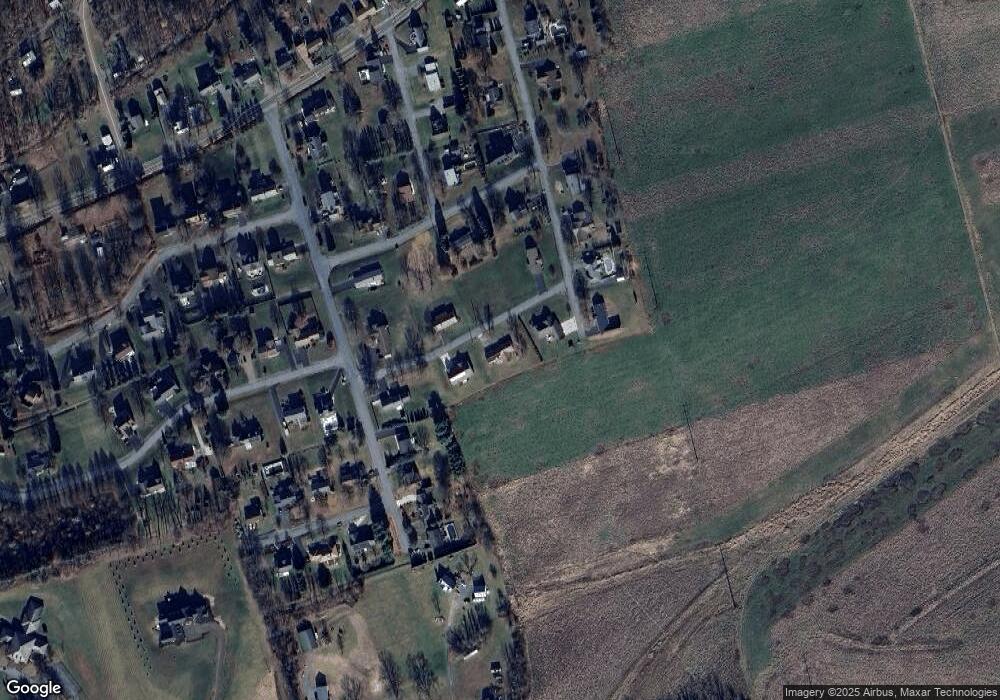
Map
Nearby Homes
- 34 Fowlersville Rd
- 14 Fowlersville Rd
- 135 Ash St
- 107 E Pebble Ln
- 21 Levi St
- 63 Brentwood Cir
- 568 Beilys Rd
- 139 Rotary St
- LOT #3 Sawmill Rd
- 0 Alliance Park Dr
- 0 Alliance Park Lot 6 Dr
- 9 Crestmont Cir
- 238 Horse Farm Rd
- 11 Amanda Dr
- 53 Fox Hollow Rd
- 2882 Lackawanna Ave
- 1251 Chestnut St
- 1246 Cherry St
- 1277 Cherry St
- 3664 Red Maple Ln
- 46 Sundale Dr
- 1303 Franklin Dr
- 1304 Franklin Dr
- 1310 Franklin Dr
- 45 Sundale Dr
- 1300 Franklin Dr
- 37 Sundale Dr
- 493 Pleasant View Dr
- 397 Pleasant View Dr
- 1312 Grandview Rd
- 33 Sundale Dr
- 395 Pleasant View Dr
- 393 Pleasant View Dr
- 1218 Franklin Dr
- 1300 Grandview Dr
- 117 Terrace Dr
- 1303 Grandview Dr
- 1217 Summit Rd
- 391 Pleasant View Dr
- 118 Terrace Dr