Estimated Value: $258,000 - $283,000
3
Beds
2
Baths
1,824
Sq Ft
$147/Sq Ft
Est. Value
About This Home
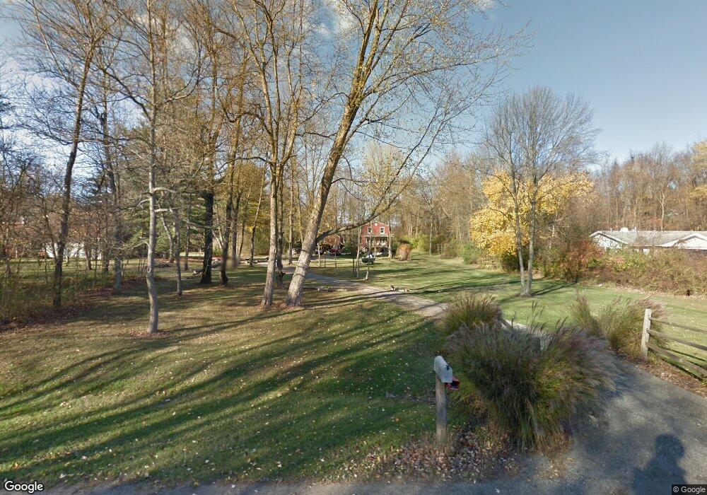
This home is located at 1307 Lykins Ln, Niles, MI 49120 and is currently estimated at $267,392, approximately $146 per square foot. 1307 Lykins Ln is a home located in Berrien County with nearby schools including Ballard Elementary School, Oak Manor Sixth Grade Center, and Ring Lardner Middle School.
Ownership History
Date
Name
Owned For
Owner Type
Purchase Details
Closed on
Jun 7, 2021
Sold by
Martin William H
Bought by
Martin William H and Martin Linda Goodrich
Current Estimated Value
Home Financials for this Owner
Home Financials are based on the most recent Mortgage that was taken out on this home.
Original Mortgage
$100,000
Outstanding Balance
$90,538
Interest Rate
2.9%
Mortgage Type
New Conventional
Estimated Equity
$176,854
Purchase Details
Closed on
Sep 10, 1999
Purchase Details
Closed on
Oct 8, 1998
Purchase Details
Closed on
Jan 3, 1978
Create a Home Valuation Report for This Property
The Home Valuation Report is an in-depth analysis detailing your home's value as well as a comparison with similar homes in the area
Home Values in the Area
Average Home Value in this Area
Purchase History
| Date | Buyer | Sale Price | Title Company |
|---|---|---|---|
| Martin William H | -- | Accommodation | |
| -- | $41,600 | -- | |
| -- | $23,900 | -- | |
| -- | $5,900 | -- |
Source: Public Records
Mortgage History
| Date | Status | Borrower | Loan Amount |
|---|---|---|---|
| Open | Martin William H | $100,000 |
Source: Public Records
Tax History Compared to Growth
Tax History
| Year | Tax Paid | Tax Assessment Tax Assessment Total Assessment is a certain percentage of the fair market value that is determined by local assessors to be the total taxable value of land and additions on the property. | Land | Improvement |
|---|---|---|---|---|
| 2025 | $1,925 | $123,100 | $0 | $0 |
| 2024 | $656 | $117,900 | $0 | $0 |
| 2023 | $625 | $96,900 | $0 | $0 |
| 2022 | $595 | $88,200 | $0 | $0 |
| 2021 | $1,895 | $82,200 | $14,400 | $67,800 |
| 2020 | $1,531 | $76,600 | $0 | $0 |
| 2019 | $1,508 | $69,500 | $14,400 | $55,100 |
| 2018 | $1,596 | $69,500 | $0 | $0 |
| 2017 | $1,585 | $68,400 | $0 | $0 |
| 2016 | $1,507 | $64,100 | $0 | $0 |
| 2015 | $1,656 | $63,300 | $0 | $0 |
| 2014 | $519 | $62,800 | $0 | $0 |
Source: Public Records
Map
Nearby Homes
- 824 N Philip Rd
- 537 Grant St
- 8 Marmont St
- 124 S State St
- 98 River St
- 211 S Street Joseph Ave
- 413 S Street Joseph Ave
- 232 Pokagon St
- V/L Wesaw Rd
- 1639 Sioux Trail
- 314 N 6th St
- 1010 Tomahawk Ln
- 219 Arlington Ln
- 218 Arlington Ln
- 211 S 4th St
- 709 Regent St
- 1201 N 6th St
- 705 Oak St
- Integrity 1610 Plan at Longmeadow
- Elements 2700 Plan at Longmeadow
- 1249 Lykins Ln
- 1319 Lykins Ln
- 1306 Platt St
- 1213 Lykins Ln
- 1208 Platt St
- 1407 Lykins Ln
- 414 Dusenbury St
- 1322 Lykins Ln
- 409 Christiana Dr
- 530 Christiana Dr
- 410 Dusenbury St
- 1419 Lykins Ln
- V/L Platt St
- 17695 Platt St
- 1313 Platt St
- 0 Platt St
- 410 Christiana Dr
- 1212 Lykins Ln
- 1309 Platt St
- 1414 Platt St