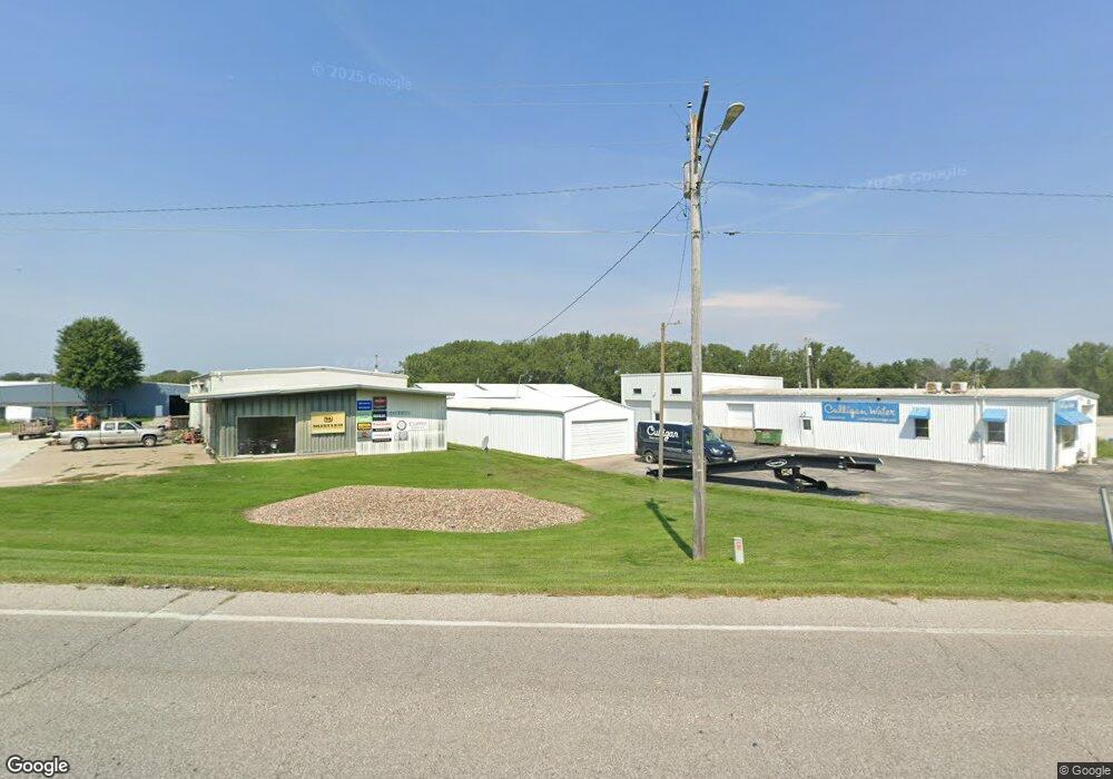
1307 SW 7th St Atlantic, IA 50022
Estimated Value: $211,664
Studio
--
Bath
3,420
Sq Ft
$62/Sq Ft
Est. Value
About This Home
This home is located at 1307 SW 7th St, Atlantic, IA 50022 and is currently estimated at $211,664, approximately $61 per square foot. 1307 SW 7th St is a home located in Cass County with nearby schools including Washington Elementary School, Schuler Elementary School, and Atlantic Middle School.
Ownership History
Date
Name
Owned For
Owner Type
Purchase Details
Closed on
Jan 2, 2020
Sold by
Clausen Robert L and Clausen Sonya D
Bought by
T & B Enterprises Inc
Current Estimated Value
Home Financials for this Owner
Home Financials are based on the most recent Mortgage that was taken out on this home.
Original Mortgage
$190,000
Outstanding Balance
$166,789
Interest Rate
3.6%
Mortgage Type
New Conventional
Estimated Equity
$44,875
Create a Home Valuation Report for This Property
The Home Valuation Report is an in-depth analysis detailing your home's value as well as a comparison with similar homes in the area
Home Values in the Area
Average Home Value in this Area
Purchase History
| Date | Buyer | Sale Price | Title Company |
|---|---|---|---|
| T & B Enterprises Inc | $140,000 | None Available |
Source: Public Records
Mortgage History
| Date | Status | Borrower | Loan Amount |
|---|---|---|---|
| Open | T & B Enterprises Inc | $190,000 |
Source: Public Records
Tax History
| Year | Tax Paid | Tax Assessment Tax Assessment Total Assessment is a certain percentage of the fair market value that is determined by local assessors to be the total taxable value of land and additions on the property. | Land | Improvement |
|---|---|---|---|---|
| 2025 | $2,494 | $164,040 | $16,650 | $147,390 |
| 2024 | $2,494 | $138,680 | $16,650 | $122,030 |
| 2023 | $2,994 | $138,680 | $16,650 | $122,030 |
| 2022 | $4,896 | $139,740 | $18,820 | $120,920 |
| 2021 | $4,896 | $139,740 | $18,820 | $120,920 |
| 2020 | $3,098 | $139,740 | $18,820 | $120,920 |
| 2019 | $2,724 | $116,450 | $0 | $0 |
| 2018 | $2,692 | $116,450 | $0 | $0 |
| 2017 | $2,782 | $116,450 | $0 | $0 |
| 2016 | $1,480 | $62,790 | $0 | $0 |
| 2015 | $1,300 | $55,740 | $0 | $0 |
| 2014 | $1,314 | $55,740 | $0 | $0 |
Source: Public Records
Map
Nearby Homes
- 1507 Teresa Dr
- 1511 Teresa Dr
- 1308 Birch St
- 1104 Birch St
- 1010 Cedar St
- 306 W 8th St
- 407 Laurel St
- 1101 Locust St
- 906 Locust St
- 110 W 9th St
- 911 Poplar St
- 708 Locust St
- 1304 Chestnut St
- 1100 Chestnut St
- 2822 Country Club Dr
- 9 Ridge Rd
- 1606 Waddell Dr
- 101 E 21st St
- 1603 Bryn Mawr Blvd
- 1801 Bryn Mawr Blvd
- 1309 SW 7th St
- 1309 SW 7th St
- 1401 SW 7th St
- 1404 SW 7th St
- 1301 SW 7th St
- 1403 SW 7th St
- 1310 SW 7th St
- 1203 SW 7th St
- 1311 Sunnyside Ln
- 1407 SW 7th St
- 1307 Sunnyside Ln
- 1500 SW 7th St
- 1308 Sunnyside Ln
- 1200 SW 7th St
- 1301 Sunnyside Ln
- 1209 Sunnyside Ln
- 1310 Sunnyside Ln
- 1101 SW 7th St
- 1207 Sunnyside Ln
- 1207 Sunnyside Ln Unit Ste A
Your Personal Tour Guide
Ask me questions while you tour the home.