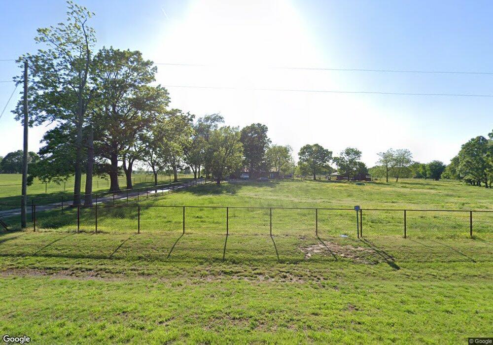
13071 Highway 43 S Siloam Springs, AR 72761
Estimated Value: $368,000 - $501,000
4
Beds
2
Baths
3,004
Sq Ft
$141/Sq Ft
Est. Value
About This Home
This home is located at 13071 Highway 43 S, Siloam Springs, AR 72761 and is currently estimated at $422,362, approximately $140 per square foot. 13071 Highway 43 S is a home located in Benton County with nearby schools including Northside Elementary School, Delbert Pete & Pat Allen Elementary School, and Southside Elementary School.
Ownership History
Date
Name
Owned For
Owner Type
Purchase Details
Closed on
Dec 6, 2018
Sold by
Penner Rodney L
Bought by
Coker Amber C
Current Estimated Value
Home Financials for this Owner
Home Financials are based on the most recent Mortgage that was taken out on this home.
Original Mortgage
$274,928
Outstanding Balance
$241,497
Interest Rate
4.75%
Mortgage Type
FHA
Estimated Equity
$180,865
Create a Home Valuation Report for This Property
The Home Valuation Report is an in-depth analysis detailing your home's value as well as a comparison with similar homes in the area
Home Values in the Area
Average Home Value in this Area
Purchase History
| Date | Buyer | Sale Price | Title Company |
|---|---|---|---|
| Coker Amber C | $280,000 | Lenders Title Company |
Source: Public Records
Mortgage History
| Date | Status | Borrower | Loan Amount |
|---|---|---|---|
| Open | Coker Amber C | $274,928 |
Source: Public Records
Tax History Compared to Growth
Tax History
| Year | Tax Paid | Tax Assessment Tax Assessment Total Assessment is a certain percentage of the fair market value that is determined by local assessors to be the total taxable value of land and additions on the property. | Land | Improvement |
|---|---|---|---|---|
| 2025 | $3,090 | $89,974 | $23,000 | $66,974 |
| 2024 | $3,025 | $89,974 | $23,000 | $66,974 |
| 2023 | $2,750 | $53,180 | $11,700 | $41,480 |
| 2022 | $2,538 | $53,180 | $11,700 | $41,480 |
| 2021 | $2,321 | $53,180 | $11,700 | $41,480 |
| 2020 | $2,115 | $40,600 | $7,000 | $33,600 |
| 2019 | $2,115 | $40,600 | $7,000 | $33,600 |
| 2018 | $1,185 | $35,350 | $2,010 | $33,340 |
| 2017 | $1,249 | $35,350 | $2,010 | $33,340 |
| 2016 | $1,249 | $35,380 | $2,040 | $33,340 |
| 2015 | $1,468 | $28,170 | $1,180 | $26,990 |
| 2014 | $1,118 | $28,170 | $1,180 | $26,990 |
Source: Public Records
Map
Nearby Homes
- tbd S 734 Rd
- 53951 734th Rd
- 0 436 Unit 25-2260
- 0 436 Unit 2543569
- 14181 N Highway 43
- 0 E 530 Rd Unit 2526833
- 0 E 530 Rd Unit 1300636
- 0 E 530 Rd Unit 2509869
- 0000 Cripps Rd
- 0 Wallys Way Unit 1312432
- 0 Wallys Way Unit 1312496
- 14203 Lake Forrest Heights Rd
- 14248 Lake Forrest Heights Rd
- 12007 Swepco Lake Rd
- 13295 Taylor Orchard Rd
- 15120 S Highway 43
- 0 Swepco Lake Rd Unit 1327398
- 0 Swepco Lake Rd Unit 1327399
- 0 Swepco Lake Rd Unit 1327400
- 917 W Aiden Dr
- 12983 S Highway 43
- Lot 190 Highway 43
- Lot 193 Highway 43
- Lot 191 Highway 43
- Lot 192 Highway 43
- Lot 194 Highway 43
- Lot 195 Highway 43
- Lot 196 Highway 43
- 1303 Hwy 43
- 13151 Highway 43 S
- 12811 S Highway 43
- 24240 Van Fleet Rd
- 24512 Vanfleet Rd
- 23834 Van Fleet Rd
- 21000 Arkansas 43
- 24267 Van Fleet Rd
- 23831 Van Fleet Rd
- 23791 Van Fleet Rd
- 23795 Van Fleet Rd
- 13371 NW Hwy 43 Hwy W