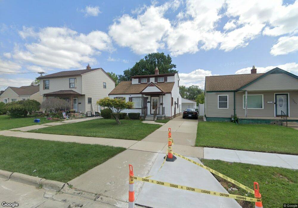
13075 Mulberry St Southgate, MI 48195
Estimated Value: $182,953 - $221,000
3
Beds
2
Baths
1,171
Sq Ft
$169/Sq Ft
Est. Value
About This Home
This home is located at 13075 Mulberry St, Southgate, MI 48195 and is currently estimated at $197,988, approximately $169 per square foot. 13075 Mulberry St is a home located in Wayne County with nearby schools including Fordline Elementary School, Davidson Middle School, and Southgate Anderson High School.
Ownership History
Date
Name
Owned For
Owner Type
Purchase Details
Closed on
Aug 16, 2024
Sold by
Adams Morris D
Bought by
Adams Morris D and Adams Jesse Dale
Current Estimated Value
Purchase Details
Closed on
May 14, 2019
Sold by
Thornton Shawn and Thornton Christopher
Bought by
Thornton Shawn
Purchase Details
Closed on
Mar 21, 1997
Sold by
Robert E and Robert Linda Parson
Bought by
Morris D Adams
Create a Home Valuation Report for This Property
The Home Valuation Report is an in-depth analysis detailing your home's value as well as a comparison with similar homes in the area
Home Values in the Area
Average Home Value in this Area
Purchase History
| Date | Buyer | Sale Price | Title Company |
|---|---|---|---|
| Adams Morris D | -- | None Listed On Document | |
| Thornton Shawn | -- | None Available | |
| Morris D Adams | $80,000 | -- | |
| Morris D Adams | $80,000 | -- |
Source: Public Records
Tax History
| Year | Tax Paid | Tax Assessment Tax Assessment Total Assessment is a certain percentage of the fair market value that is determined by local assessors to be the total taxable value of land and additions on the property. | Land | Improvement |
|---|---|---|---|---|
| 2025 | $95 | $80,600 | $0 | $0 |
| 2024 | $85 | $75,900 | $0 | $0 |
| 2023 | $74 | $0 | $0 | $0 |
| 2022 | $74 | $0 | $0 | $0 |
| 2021 | $74 | $0 | $0 | $0 |
| 2020 | $74 | $0 | $0 | $0 |
| 2019 | $74 | $0 | $0 | $0 |
| 2018 | $74 | $0 | $0 | $0 |
| 2017 | $74 | $35,700 | $0 | $0 |
| 2016 | $74 | $36,600 | $0 | $0 |
| 2015 | $3,180 | $0 | $0 | $0 |
| 2013 | $3,180 | $33,300 | $0 | $0 |
| 2012 | $1,395 | $31,300 | $5,000 | $26,300 |
Source: Public Records
Map
Nearby Homes
- 13080 Poplar St
- 13139 Mulberry St
- 13367 Fordline St
- 14212 Northline Rd
- 13621 Mulberry St
- 14923 Malcolm St
- 12590 Shery Ln
- 13407 Shire Ln Unit 27
- 13419 Shire Ln Unit 26
- 15046 Malcolm St
- 12215 Manor Dr
- 13366 Trenton Rd
- 0 Poplar St
- 12200 Helen St
- 12855 Dix Toledo Rd
- 15468 Northline Rd
- 14056 Irene St
- 12100 Helen St
- 0 Fordline Unit 20261010397
- 14231 Fordline St
- 13063 Mulberry St
- 13087 Mulberry St
- 13099 Mulberry St
- 13051 Mulberry St
- 13111 Mulberry St
- 13062 Poplar St
- 13125 Mulberry St
- 13076 Poplar St
- 13050 Poplar St
- 13120 Kimberly St
- 14585 Northline Rd
- 14539 Northline Rd
- 13132 Kimberly St
- 13086 Poplar St
- 14655 Northline Rd
- 13090 Poplar St
- 13153 Mulberry St
- 13121 Kimberly St
- 13146 Kimberly St
- 13096 Poplar St
Your Personal Tour Guide
Ask me questions while you tour the home.