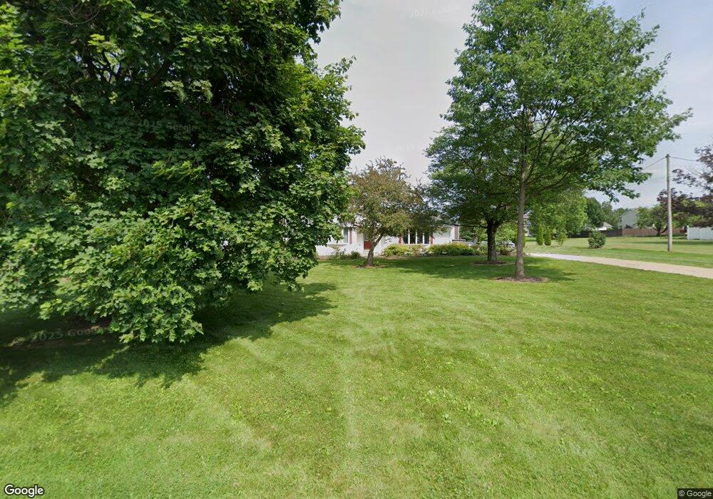
13077 Coal Bank Rd Doylestown, OH 44230
Estimated Value: $347,798 - $419,000
4
Beds
2
Baths
2,172
Sq Ft
$169/Sq Ft
Est. Value
About This Home
This home is located at 13077 Coal Bank Rd, Doylestown, OH 44230 and is currently estimated at $367,700, approximately $169 per square foot. 13077 Coal Bank Rd is a home located in Wayne County with nearby schools including Hazel Harvey Elementary School, Chippewa Intermediate School, and Chippewa Jr./Sr. High School.
Ownership History
Date
Name
Owned For
Owner Type
Purchase Details
Closed on
Nov 24, 1989
Sold by
Heppert Robert Edward and Heppert K
Bought by
Stebly Kenneth M and Stebly Audrey
Current Estimated Value
Create a Home Valuation Report for This Property
The Home Valuation Report is an in-depth analysis detailing your home's value as well as a comparison with similar homes in the area
Home Values in the Area
Average Home Value in this Area
Purchase History
| Date | Buyer | Sale Price | Title Company |
|---|---|---|---|
| Stebly Kenneth M | $76,000 | -- |
Source: Public Records
Tax History Compared to Growth
Tax History
| Year | Tax Paid | Tax Assessment Tax Assessment Total Assessment is a certain percentage of the fair market value that is determined by local assessors to be the total taxable value of land and additions on the property. | Land | Improvement |
|---|---|---|---|---|
| 2024 | $3,490 | $100,540 | $18,070 | $82,470 |
| 2023 | $3,490 | $100,540 | $18,070 | $82,470 |
| 2022 | $2,602 | $68,870 | $12,380 | $56,490 |
| 2021 | $2,617 | $68,870 | $12,380 | $56,490 |
| 2020 | $2,635 | $68,870 | $12,380 | $56,490 |
| 2019 | $1,983 | $49,950 | $11,040 | $38,910 |
| 2018 | $1,931 | $48,200 | $11,040 | $37,160 |
| 2017 | $1,904 | $47,930 | $11,040 | $36,890 |
| 2016 | $1,856 | $46,090 | $10,620 | $35,470 |
| 2015 | $1,848 | $46,090 | $10,620 | $35,470 |
| 2014 | $1,622 | $46,090 | $10,620 | $35,470 |
| 2013 | $1,794 | $49,480 | $9,990 | $39,490 |
Source: Public Records
Map
Nearby Homes
- 270 Maple St
- 46 Hidden Pond Dr
- 0 S Portage St
- 325 Catawba Path
- 154 Circle Dr
- 100 Merlot Ct
- 605 Vineyard Way
- 680 Thorn Way
- 620 Thorn Way
- 580 Thorn Way
- 436 N Portage St
- 0 Akron Rd Unit 5123781
- 517 N Portage St
- 340 Gates St
- 500 W Clinton St
- 77 Koehler Ave
- 14328 Calaboone Rd
- 104 Homan Dr
- VL 1067 Homan Dr
- 15500 Freedom Dr
- 13127 Coal Bank Rd
- 100 Meadow Ridge Trail
- 13023 Coal Bank Rd
- 13054 Coal Bank Rd
- 13054 Coal Bank Rd
- 80 Meadow Ridge Trail
- 120 Meadow Ridge Trail
- 13122 Coal Bank Rd
- 13026 Coal Bank Rd
- 140 Meadow Ridge Trail
- 13140 Coal Bank Rd
- 425 Coal Bank Rd
- 13002 Coal Bank Rd
- 189 Valley View Rd
- 160 Meadow Ridge Trail
- 60 Meadow Ridge Trail
- 185 Valley View Rd
- 12979 Coal Bank Rd
- 125 Meadow Ridge Trail
- 40 Meadow Ridge Trail