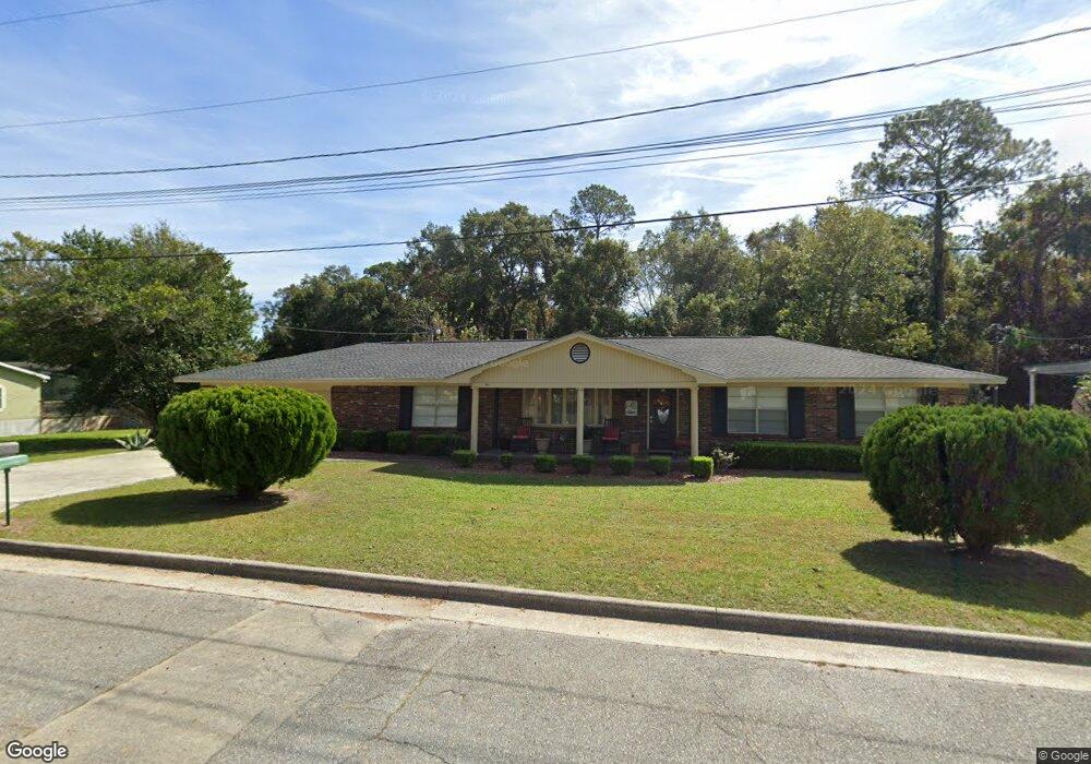
1308 E L Saunders Dr Waycross, GA 31501
Estimated Value: $177,000 - $220,000
3
Beds
3
Baths
1,980
Sq Ft
$99/Sq Ft
Est. Value
About This Home
This home is located at 1308 E L Saunders Dr, Waycross, GA 31501 and is currently estimated at $196,860, approximately $99 per square foot. 1308 E L Saunders Dr is a home located in Ware County with nearby schools including Wacona Elementary School, Ware County Middle School, and Ware County High School.
Ownership History
Date
Name
Owned For
Owner Type
Purchase Details
Closed on
Jul 31, 2012
Sold by
Poole Tommie
Bought by
Harris Andrea
Current Estimated Value
Home Financials for this Owner
Home Financials are based on the most recent Mortgage that was taken out on this home.
Original Mortgage
$86,487
Outstanding Balance
$60,139
Interest Rate
3.75%
Mortgage Type
FHA
Estimated Equity
$136,721
Purchase Details
Closed on
Jan 27, 2012
Sold by
Poole Tommie
Bought by
Poole Tommie and Poole Angela
Purchase Details
Closed on
Oct 23, 2002
Bought by
Poole Tommy
Create a Home Valuation Report for This Property
The Home Valuation Report is an in-depth analysis detailing your home's value as well as a comparison with similar homes in the area
Home Values in the Area
Average Home Value in this Area
Purchase History
| Date | Buyer | Sale Price | Title Company |
|---|---|---|---|
| Harris Andrea | $100,000 | -- | |
| Poole Tommie | -- | -- | |
| Poole Tommy | -- | -- |
Source: Public Records
Mortgage History
| Date | Status | Borrower | Loan Amount |
|---|---|---|---|
| Open | Harris Andrea | $86,487 |
Source: Public Records
Tax History Compared to Growth
Tax History
| Year | Tax Paid | Tax Assessment Tax Assessment Total Assessment is a certain percentage of the fair market value that is determined by local assessors to be the total taxable value of land and additions on the property. | Land | Improvement |
|---|---|---|---|---|
| 2024 | $1,085 | $72,283 | $2,340 | $69,943 |
| 2023 | $1,108 | $50,553 | $2,400 | $48,153 |
| 2022 | $1,248 | $50,553 | $2,400 | $48,153 |
| 2021 | $1,284 | $38,312 | $2,400 | $35,912 |
| 2020 | $1,306 | $31,427 | $2,400 | $29,027 |
| 2019 | $1,377 | $31,153 | $2,400 | $28,753 |
| 2018 | $1,329 | $29,784 | $2,400 | $27,384 |
| 2017 | $1,299 | $29,784 | $2,400 | $27,384 |
| 2016 | $1,299 | $29,784 | $2,400 | $27,384 |
| 2015 | $1,308 | $29,784 | $2,400 | $27,384 |
| 2014 | $1,306 | $29,784 | $2,400 | $27,384 |
| 2013 | -- | $29,784 | $2,400 | $27,384 |
Source: Public Records
Map
Nearby Homes
- 1308 El Saunders Dr
- 1306 El Saunders Dr
- 1304 El Saunders Dr
- 1001 Buchannon St
- 1400 El Saunders Dr
- 1401 El Saunders Dr
- 1309 El Saunders Dr
- 1302 El Saunders Dr
- 1403 El Saunders Dr
- 0 Creagh St
- 1312 Colley St
- 1305 El Saunders Dr
- 1310 Colley St
- 1407 El Saunders Dr
- 1410 El Saunders Dr
- 1400 Colley St
- 901 Buchannon St
- 1308 Colley St
- 918 Quarterman St
- 1300 El Saunders Dr