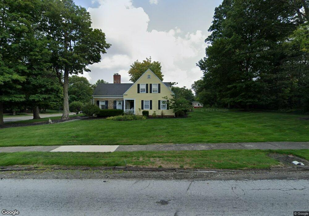
1308 Fernwood Blvd Alliance, OH 44601
Estimated Value: $253,000 - $291,000
3
Beds
3
Baths
1,869
Sq Ft
$146/Sq Ft
Est. Value
About This Home
This home is located at 1308 Fernwood Blvd, Alliance, OH 44601 and is currently estimated at $273,285, approximately $146 per square foot. 1308 Fernwood Blvd is a home located in Stark County with nearby schools including Alliance Early Learning School, Alliance Intermediate School at Northside, and Alliance Middle School.
Ownership History
Date
Name
Owned For
Owner Type
Purchase Details
Closed on
Sep 25, 2023
Sold by
Edavies Ltd
Bought by
Davies Erik
Current Estimated Value
Home Financials for this Owner
Home Financials are based on the most recent Mortgage that was taken out on this home.
Original Mortgage
$150,000
Outstanding Balance
$146,913
Interest Rate
7.12%
Mortgage Type
New Conventional
Estimated Equity
$126,372
Purchase Details
Closed on
Dec 21, 2022
Sold by
Fiegenschuh Sandra S
Bought by
Edavies Ltd
Create a Home Valuation Report for This Property
The Home Valuation Report is an in-depth analysis detailing your home's value as well as a comparison with similar homes in the area
Home Values in the Area
Average Home Value in this Area
Purchase History
| Date | Buyer | Sale Price | Title Company |
|---|---|---|---|
| Davies Erik | -- | None Listed On Document | |
| Edavies Ltd | -- | -- |
Source: Public Records
Mortgage History
| Date | Status | Borrower | Loan Amount |
|---|---|---|---|
| Open | Davies Erik | $150,000 |
Source: Public Records
Tax History Compared to Growth
Tax History
| Year | Tax Paid | Tax Assessment Tax Assessment Total Assessment is a certain percentage of the fair market value that is determined by local assessors to be the total taxable value of land and additions on the property. | Land | Improvement |
|---|---|---|---|---|
| 2025 | -- | $75,470 | $21,460 | $54,010 |
| 2024 | -- | $75,470 | $21,460 | $54,010 |
| 2023 | $2,076 | $60,840 | $16,140 | $44,700 |
| 2022 | $2,107 | $60,840 | $16,140 | $44,700 |
| 2021 | $2,109 | $60,840 | $16,140 | $44,700 |
| 2020 | $1,698 | $47,920 | $12,990 | $34,930 |
| 2019 | $1,674 | $47,920 | $12,990 | $34,930 |
| 2018 | $1,682 | $47,920 | $12,990 | $34,930 |
| 2017 | $1,547 | $44,210 | $12,500 | $31,710 |
| 2016 | $1,560 | $44,210 | $12,500 | $31,710 |
| 2015 | $1,583 | $44,420 | $12,500 | $31,920 |
| 2014 | $1,518 | $41,300 | $11,620 | $29,680 |
| 2013 | $757 | $41,300 | $11,620 | $29,680 |
Source: Public Records
Map
Nearby Homes
- 1201 Overlook Dr
- 1038 Fairview Place
- 970 Kingsway St
- 1321 Parkway Blvd
- 738 Kingsway St
- 896 Parkway Blvd
- 1515 S Rockhill Ave
- 884 W College Rd
- 734 Parkway Blvd
- 2050 Federal Ave
- 725 W Summit St
- 2112 Blenheim Ave
- 645 W Summit St
- 2220 Western Ave
- 565 W Broadway St
- 0 W Main St Unit 5090123
- 140 W Summit St
- 2081 Marwood Cir
- 807 S Union Ave
- 1430 Westwood Ave
- 1194 Parkside Dr
- 1350 Fernwood Blvd
- 1181 Overlook Dr
- 1192 Parkside Dr
- 1313 Fernwood Blvd
- 1200 Fernwood Blvd
- 1199 Parkside Dr
- 1188 Parkside Dr
- 1187 Overlook Dr
- 1191 Parkside Dr
- 1176 Parkside Dr
- 1194 Overlook Dr
- 1420 Fernwood Blvd
- 1201 Fernwood Blvd
- 1181 Parkside Dr
- 1192 Overlook Dr
- 1150 Fernwood Blvd
- 1177 Fernwood Blvd
- 1328 Parkside Dr
- 1169 Overlook Dr