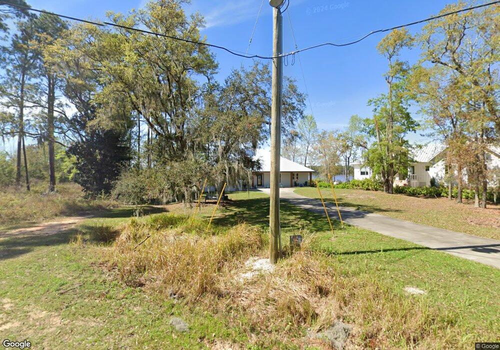
1308 Lagrange Rd Freeport, FL 32439
Estimated Value: $792,000 - $1,354,000
3
Beds
2
Baths
2,349
Sq Ft
$465/Sq Ft
Est. Value
About This Home
This home is located at 1308 Lagrange Rd, Freeport, FL 32439 and is currently estimated at $1,093,061, approximately $465 per square foot. 1308 Lagrange Rd is a home with nearby schools including Freeport Elementary School, Freeport Middle School, and Freeport Senior High School.
Ownership History
Date
Name
Owned For
Owner Type
Purchase Details
Closed on
Jul 19, 2019
Sold by
Mjaj2 Inc
Bought by
Carley Mark W and Carley Joanne M
Current Estimated Value
Purchase Details
Closed on
Feb 25, 2015
Sold by
Carley Mark and Carley Joanne
Bought by
Mjaj2 Inc
Purchase Details
Closed on
Jan 30, 2004
Sold by
Dan H Broughton Family Partnership Ltd
Bought by
Carley Mark and Carley Joanne
Home Financials for this Owner
Home Financials are based on the most recent Mortgage that was taken out on this home.
Original Mortgage
$212,500
Interest Rate
5.77%
Mortgage Type
Unknown
Create a Home Valuation Report for This Property
The Home Valuation Report is an in-depth analysis detailing your home's value as well as a comparison with similar homes in the area
Home Values in the Area
Average Home Value in this Area
Purchase History
| Date | Buyer | Sale Price | Title Company |
|---|---|---|---|
| Carley Mark W | -- | Attorney | |
| Mjaj2 Inc | -- | None Available | |
| Carley Mark | $250,000 | -- |
Source: Public Records
Mortgage History
| Date | Status | Borrower | Loan Amount |
|---|---|---|---|
| Previous Owner | Carley Mark | $212,500 |
Source: Public Records
Tax History
| Year | Tax Paid | Tax Assessment Tax Assessment Total Assessment is a certain percentage of the fair market value that is determined by local assessors to be the total taxable value of land and additions on the property. | Land | Improvement |
|---|---|---|---|---|
| 2025 | $5,381 | $686,238 | -- | -- |
| 2024 | $5,151 | $666,898 | -- | -- |
| 2023 | $5,151 | $647,474 | $0 | $0 |
| 2022 | $5,125 | $628,616 | $0 | $0 |
| 2021 | $5,204 | $610,307 | $358,683 | $251,624 |
| 2020 | $4,554 | $485,024 | $242,874 | $242,150 |
| 2019 | $4,398 | $470,755 | $235,800 | $234,955 |
| 2018 | $4,197 | $446,905 | $0 | $0 |
| 2017 | $4,011 | $425,097 | $199,929 | $225,168 |
| 2016 | $3,917 | $410,731 | $0 | $0 |
| 2015 | $3,913 | $403,463 | $0 | $0 |
| 2014 | $3,897 | $403,463 | $0 | $0 |
Source: Public Records
Map
Nearby Homes
- Lot 8B Lagrange Rd
- Lot 2 Capri Ct
- LOT 6A Lagrange Rd
- 78 Lagrange Cove Cir
- 12 Lagrange Cove Cir
- 104 Lagrange Cove Cir
- 258 W Bayou Forest Dr
- 2601 E County Hwy 83a
- LOT 23 B Bayside Dr
- 00 Mullet Dr
- Lot 18 Bay Grove Rd
- 0 E Bayou Forest Dr Unit Lot 21
- Lot 9 Bayside Dr
- 0 Magnolia Dr
- LOT C-24 Magnolia Dr
- C-19 Magnolia Dr
- Lot 26 E Bayou Forest Dr
- Lot 25 E Bayou Forest Dr
- 554 Beatrice Point Rd
- 862 Bay Grove Rd
- 5 Lagrange Bayou Rd
- 1326 Lagrange Rd
- 1342 Lagrange Rd
- Lot 5 Lagrange Rd
- Lot 5B Lagrange Rd
- 000 Lagrange Rd
- 1376 Lagrange Rd
- 4B Lagrange Rd
- LOT 4 Lagrange Rd
- Lot 6 Lagrange Rd
- XXX Lagrange Rd
- 1389 Lagrange Rd
- 1226 Lagrange Rd
- 1392 Lagrange Rd
- 0000 George Ellis Point
- 1.7 Acres Lagrange Rd
- LOT 2B Lagrange Rd
- Lot 4E Lagrange Rd
- 1422 Lagrange Rd
- 1436 Lagrange Rd
Your Personal Tour Guide
Ask me questions while you tour the home.