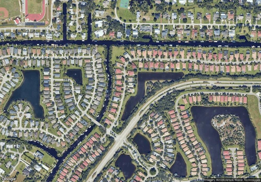
13080 Seaside Harbour Dr Unit 77 North Fort Myers, FL 33903
Hancock NeighborhoodEstimated Value: $558,000 - $660,000
4
Beds
4
Baths
3,801
Sq Ft
$160/Sq Ft
Est. Value
About This Home
This home is located at 13080 Seaside Harbour Dr Unit 77, North Fort Myers, FL 33903 and is currently estimated at $606,820, approximately $159 per square foot. 13080 Seaside Harbour Dr Unit 77 is a home located in Lee County with nearby schools including Tropic Isles Elementary School, Hancock Creek Elementary School, and Caloosa Elementary School.
Ownership History
Date
Name
Owned For
Owner Type
Purchase Details
Closed on
Jul 26, 2007
Sold by
Mertiage Homes Of Florida Inc
Bought by
Palmer Carl and Palmer Gail
Current Estimated Value
Home Financials for this Owner
Home Financials are based on the most recent Mortgage that was taken out on this home.
Original Mortgage
$200,000
Outstanding Balance
$126,371
Interest Rate
6.71%
Mortgage Type
Unknown
Estimated Equity
$480,449
Create a Home Valuation Report for This Property
The Home Valuation Report is an in-depth analysis detailing your home's value as well as a comparison with similar homes in the area
Home Values in the Area
Average Home Value in this Area
Purchase History
| Date | Buyer | Sale Price | Title Company |
|---|---|---|---|
| Palmer Carl | $501,500 | Mth Title Of Florida |
Source: Public Records
Mortgage History
| Date | Status | Borrower | Loan Amount |
|---|---|---|---|
| Open | Palmer Carl | $200,000 |
Source: Public Records
Tax History Compared to Growth
Tax History
| Year | Tax Paid | Tax Assessment Tax Assessment Total Assessment is a certain percentage of the fair market value that is determined by local assessors to be the total taxable value of land and additions on the property. | Land | Improvement |
|---|---|---|---|---|
| 2025 | $5,807 | $283,495 | -- | -- |
| 2024 | $5,807 | $275,505 | -- | -- |
| 2023 | $5,708 | $267,481 | $0 | $0 |
| 2022 | $5,804 | $259,690 | $0 | $0 |
| 2021 | $5,416 | $368,416 | $76,952 | $291,464 |
| 2020 | $5,410 | $248,645 | $0 | $0 |
| 2019 | $5,341 | $243,055 | $0 | $0 |
| 2018 | $5,324 | $238,523 | $0 | $0 |
| 2017 | $5,256 | $233,617 | $0 | $0 |
| 2016 | $5,232 | $323,999 | $61,815 | $262,184 |
| 2015 | $5,289 | $335,806 | $61,938 | $273,868 |
| 2014 | $5,266 | $284,588 | $26,120 | $258,468 |
| 2013 | -- | $268,692 | $21,283 | $247,409 |
Source: Public Records
Map
Nearby Homes
- 13110 Silver Thorn Loop
- 13081 Silver Thorn Loop
- 12950 Seaside Key Ct
- 13358 Queen Palm Run
- 13362 Queen Palm Run
- 13317 Queen Palm Run
- 995 April Ln
- 12901 Seaside Key Ct
- 9346 Palm Island Cir
- 12860 Seaside Key Ct
- 13460 Wild Cotton Ct
- 13091 Sandy Key Bend Unit 104
- 897 Iris Dr
- 12993 Turtle Cove Trail
- 13421 Wild Cotton Ct
- 13250 Silver Thorn Loop Unit 1107
- 12761 Seaside Key Ct
- 9439 Palm Island Cir
- 3251 Lee Way Ct Unit 406
- 13040 Sandy Key Bend Unit 3504
- 13080 Seaside Harbour Dr
- 13090 Seaside Harbour Dr
- 13100 Seaside Harbour Dr
- 13071 Seaside Harbour Dr
- 13081 Seaside Harbour Dr
- 13091 Seaside Harbour Dr
- 13110 Seaside Harbour Dr
- 13101 Seaside Harbour Dr
- 13061 Seaside Harbour Dr
- 13051 Seaside Harbour Dr
- 13140 Seaside Harbour Dr
- 13111 Seaside Harbour Dr
- 13190 Seaside Harbour Dr
- 13041 Seaside Harbour Dr
- 13121 Seaside Harbour Dr
- 13200 Seaside Harbour Dr
- 9254 Palm Island Cir
- 9258 Palm Island Cir
- 9250 Palm Island Cir
- 9262 Palm Island Cir
