13082 Wicklund Rd Brainerd, MN 56401
Estimated Value: $343,000 - $502,000
4
Beds
3
Baths
3,182
Sq Ft
$135/Sq Ft
Est. Value
About This Home
This home is located at 13082 Wicklund Rd, Brainerd, MN 56401 and is currently estimated at $430,708, approximately $135 per square foot. 13082 Wicklund Rd is a home located in Crow Wing County with nearby schools including Harrison Elementary School, Forestview Middle School, and Brainerd Senior High School.
Ownership History
Date
Name
Owned For
Owner Type
Purchase Details
Closed on
Sep 24, 2020
Sold by
Anderson Keith R and Anderson Rachael A
Bought by
Blue Ox Investments Llc
Current Estimated Value
Purchase Details
Closed on
Sep 8, 2016
Sold by
Graham Mark Mark
Bought by
Anderson Keith and Anderson Rachael
Home Financials for this Owner
Home Financials are based on the most recent Mortgage that was taken out on this home.
Original Mortgage
$270,800
Interest Rate
3.48%
Create a Home Valuation Report for This Property
The Home Valuation Report is an in-depth analysis detailing your home's value as well as a comparison with similar homes in the area
Purchase History
| Date | Buyer | Sale Price | Title Company |
|---|---|---|---|
| Blue Ox Investments Llc | $80,000 | Elite Title & Escrow | |
| Anderson Keith | $285,000 | -- |
Source: Public Records
Mortgage History
| Date | Status | Borrower | Loan Amount |
|---|---|---|---|
| Previous Owner | Anderson Keith | $270,800 |
Source: Public Records
Tax History
| Year | Tax Paid | Tax Assessment Tax Assessment Total Assessment is a certain percentage of the fair market value that is determined by local assessors to be the total taxable value of land and additions on the property. | Land | Improvement |
|---|---|---|---|---|
| 2025 | $2,634 | $438,100 | $77,400 | $360,700 |
| 2024 | $2,634 | $423,700 | $74,600 | $349,100 |
| 2023 | $2,908 | $470,400 | $68,000 | $402,400 |
| 2022 | $2,312 | $438,200 | $49,300 | $388,900 |
| 2021 | $2,366 | $283,900 | $40,300 | $243,600 |
| 2020 | $2,474 | $271,500 | $41,300 | $230,200 |
| 2019 | $2,342 | $275,700 | $39,900 | $235,800 |
| 2018 | $2,152 | $262,500 | $40,000 | $222,500 |
| 2017 | $2,080 | $239,293 | $44,614 | $194,679 |
| 2016 | $2,218 | $243,300 | $40,000 | $203,300 |
| 2015 | $2,156 | $228,500 | $39,700 | $188,800 |
| 2014 | $978 | $219,000 | $39,400 | $179,600 |
Source: Public Records
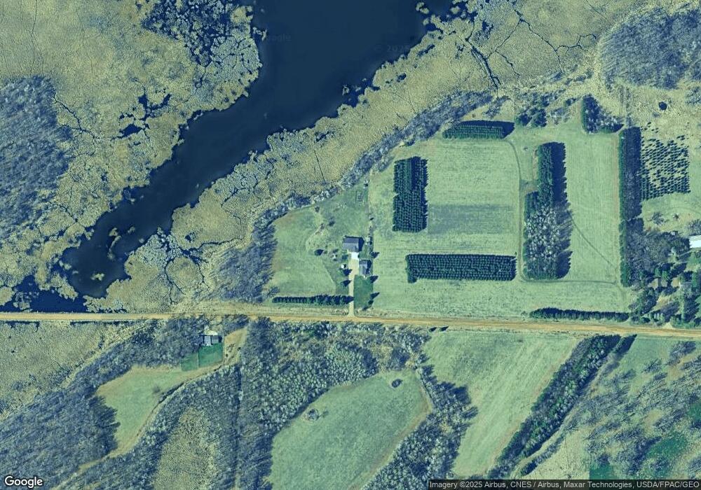
Map
Nearby Homes
- 8818 Mogensen Shores Rd
- 9683 State Highway 25
- 12084 County Road 144
- 14894 County Road 22
- 12162 70th St
- 15419 Lake Ave
- XXX Crust Rd
- Lot 6 See Gull Cove
- LOT 7 BLK 2 Soder Rd
- TBD Riverside Dr
- Lot 3 BLK 2 Soder Rd
- Lot 10 Lindroth Dr
- 12157 Butternut Rd SE
- 12108 Oakridge Rd
- 12191 Oakridge Rd
- 9413 Forest Heights Dr
- TBD Rognaldson Rd
- 11312 Arlington Ave
- 13400 State Highway 18
- 11437 Andrew St
Your Personal Tour Guide
Ask me questions while you tour the home.