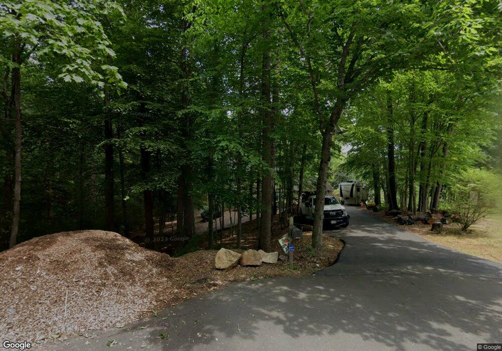
13085 Saint Andrews Ct Woodbridge, VA 22192
Old Bridge NeighborhoodEstimated Value: $710,715 - $779,000
4
Beds
3
Baths
2,480
Sq Ft
$299/Sq Ft
Est. Value
About This Home
This home is located at 13085 Saint Andrews Ct, Woodbridge, VA 22192 and is currently estimated at $741,429, approximately $298 per square foot. 13085 Saint Andrews Ct is a home located in Prince William County with nearby schools including John D. Jenkins Elementary School, Gar-Field High School, and Woodbridge Middle School.
Ownership History
Date
Name
Owned For
Owner Type
Purchase Details
Closed on
Jun 1, 2021
Sold by
Woessner Janet L and Woessner George W
Bought by
Arminiak Faith A and Arminiak Justin A
Current Estimated Value
Home Financials for this Owner
Home Financials are based on the most recent Mortgage that was taken out on this home.
Original Mortgage
$564,221
Outstanding Balance
$510,832
Interest Rate
2.9%
Mortgage Type
New Conventional
Estimated Equity
$230,597
Purchase Details
Closed on
Mar 27, 1997
Sold by
Nelson Gary L and Nelson Vickie J
Bought by
Woessner George W and Woessner Janet L
Home Financials for this Owner
Home Financials are based on the most recent Mortgage that was taken out on this home.
Original Mortgage
$176,000
Interest Rate
7.59%
Mortgage Type
New Conventional
Create a Home Valuation Report for This Property
The Home Valuation Report is an in-depth analysis detailing your home's value as well as a comparison with similar homes in the area
Home Values in the Area
Average Home Value in this Area
Purchase History
| Date | Buyer | Sale Price | Title Company |
|---|---|---|---|
| Arminiak Faith A | $595,000 | First American Title Ins Co | |
| Woessner George W | $220,000 | -- |
Source: Public Records
Mortgage History
| Date | Status | Borrower | Loan Amount |
|---|---|---|---|
| Open | Arminiak Faith A | $564,221 | |
| Previous Owner | Woessner George W | $176,000 |
Source: Public Records
Tax History Compared to Growth
Tax History
| Year | Tax Paid | Tax Assessment Tax Assessment Total Assessment is a certain percentage of the fair market value that is determined by local assessors to be the total taxable value of land and additions on the property. | Land | Improvement |
|---|---|---|---|---|
| 2025 | $5,528 | $611,900 | $238,300 | $373,600 |
| 2024 | $5,528 | $555,900 | $217,300 | $338,600 |
| 2023 | $5,399 | $518,900 | $201,900 | $317,000 |
| 2022 | $5,793 | $512,800 | $198,100 | $314,700 |
| 2021 | $5,351 | $437,700 | $169,000 | $268,700 |
| 2020 | $6,389 | $412,200 | $159,600 | $252,600 |
| 2019 | $6,098 | $393,400 | $152,500 | $240,900 |
| 2018 | $4,480 | $371,000 | $144,300 | $226,700 |
| 2017 | $4,403 | $355,800 | $137,700 | $218,100 |
| 2016 | $4,956 | $405,600 | $155,200 | $250,400 |
| 2015 | $5,031 | $408,200 | $155,200 | $253,000 |
| 2014 | $5,031 | $403,100 | $152,500 | $250,600 |
Source: Public Records
Map
Nearby Homes
- 13352 Smoketown Rd
- 3341 Bybrook Ln
- 3349 Wyndale Ct
- 3501 Nexus Ct
- 13546 Bentley Cir
- 13586 Rush Dr
- 3901 Leaf Lawn Ln
- 3642 Woodhaven Ct
- 3437 Belfry Ln
- 12820 Misty Ln
- 2747 Omisol Rd
- 12743 Purdham Dr
- 12899 Bjork Ln
- 12948 Augustus Ct
- 3493 Wainscott Place
- 12896 Schalk Ct
- 12804 Evansport Place
- 12802 Valleywood Dr
- 12834 Valleywood Dr
- 13304 Hardy Ct
- 13088 Saint Andrews Ct
- 13084 Saint Andrews Ct
- 13079 Saint Andrews Ct
- 13080 Saint Andrews Ct
- 13076 Saint Andrews Ct
- 13077 Saint Andrews Ct
- 3403 Carly Ln
- 3405 Carly Ln
- 3401 Carly Ln
- 3407 Carly Ln
- 13111 Foxhall Dr
- 13036 Smoketown Rd
- 3409 Carly Ln
- 13028 Smoketown Rd
- 13030 Smoketown Rd
- 13026 Smoketown Rd
- 13072 Saint Andrews Ct
- 13024 Smoketown Rd
- 13073 Saint Andrews Ct
- 3397 Carly Ln
