13087 N 595 Rd Tahlequah, OK 74464
Estimated Value: $178,000 - $392,000
2
Beds
1
Bath
911
Sq Ft
$297/Sq Ft
Est. Value
About This Home
This home is located at 13087 N 595 Rd, Tahlequah, OK 74464 and is currently estimated at $270,558, approximately $296 per square foot. 13087 N 595 Rd is a home located in Cherokee County with nearby schools including Briggs Public School.
Ownership History
Date
Name
Owned For
Owner Type
Purchase Details
Closed on
Apr 21, 2015
Sold by
Moore Ronald W and Moore Mary K
Bought by
Moore Mary K
Current Estimated Value
Purchase Details
Closed on
Aug 31, 2006
Sold by
Lower Jr F E and Lower Forest
Bought by
Ford Billy L and Ford Tammy S
Home Financials for this Owner
Home Financials are based on the most recent Mortgage that was taken out on this home.
Original Mortgage
$203,677
Interest Rate
6.79%
Mortgage Type
Purchase Money Mortgage
Purchase Details
Closed on
Dec 4, 2003
Sold by
Opal V Lower
Bought by
Mary Fe and Mary Lower
Create a Home Valuation Report for This Property
The Home Valuation Report is an in-depth analysis detailing your home's value as well as a comparison with similar homes in the area
Home Values in the Area
Average Home Value in this Area
Purchase History
| Date | Buyer | Sale Price | Title Company |
|---|---|---|---|
| Moore Mary K | -- | -- | |
| Ford Billy L | $200,000 | None Available | |
| Mary Fe | -- | -- |
Source: Public Records
Mortgage History
| Date | Status | Borrower | Loan Amount |
|---|---|---|---|
| Previous Owner | Ford Billy L | $203,677 |
Source: Public Records
Tax History Compared to Growth
Tax History
| Year | Tax Paid | Tax Assessment Tax Assessment Total Assessment is a certain percentage of the fair market value that is determined by local assessors to be the total taxable value of land and additions on the property. | Land | Improvement |
|---|---|---|---|---|
| 2025 | $1,433 | $18,920 | $1,640 | $17,280 |
| 2024 | $1,433 | $18,368 | $1,468 | $16,900 |
| 2023 | $1,433 | $19,784 | $1,329 | $18,455 |
| 2022 | $1,605 | $19,784 | $1,329 | $18,455 |
| 2021 | $1,483 | $19,784 | $1,329 | $18,455 |
| 2020 | $1,425 | $18,982 | $1,290 | $17,692 |
| 2019 | $730 | $9,134 | $1,290 | $7,844 |
| 2018 | $740 | $9,134 | $1,290 | $7,844 |
| 2017 | $736 | $9,019 | $1,175 | $7,844 |
| 2016 | $729 | $8,867 | $1,059 | $7,808 |
| 2015 | $508 | $7,310 | $783 | $6,527 |
| 2014 | $508 | $7,310 | $783 | $6,527 |
Source: Public Records
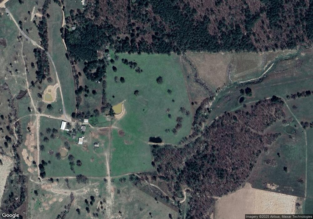
Map
Nearby Homes
- 14554 N 603 Rd
- 81118 S 4725 Rd
- 78332 S 4760 Rd
- 81134 S 4720 Rd
- 66821 S 4644 Rd
- 0 Alder Way
- 202 Alder Way
- 206 Alder Way
- 22678 Sunrise Ridge Dr
- 24500 E 741 Rd
- 912 Summit Ridge Ct
- 105 Summit Ridge Dr
- 17022 S 579 Rd
- 66910 S 4655 Rd
- 23244 E 754 Rd
- 469581 E 815 Rd
- 69000 S 4664 Rd
- 26986 Highway 51
- 16399 N 573 Rd
- 8147 N 544 Rd
- 13074 N 595 Rd
- 0 N 593 Rd Unit 1537470
- 0 N 593 Rd Unit 1537473
- 0 N 593 Rd Unit 1547699
- 0 N 593 Rd Unit 1602364
- 0 N 593 Rd Unit 1602358
- 0 N 593 Rd Unit 1616357
- 0 N 593 Rd Unit 1616361
- 0 N 593 Rd Unit 1616364
- 0 N 593 Rd Unit 1637727
- 0 N 593 Rd Unit 1637736
- 0 N 593 Rd Unit 1637734
- 0 N 593 Rd Unit 1725338
- 0 N 593 Rd Unit 1830670
- 0 N 593 Rd Unit 2036395
- 12400 N Pumpkin Hollow
- 12396 N Pumpkin Hollow
- 12510 N 593 Rd
- 13004 N Pumpkin Hollow